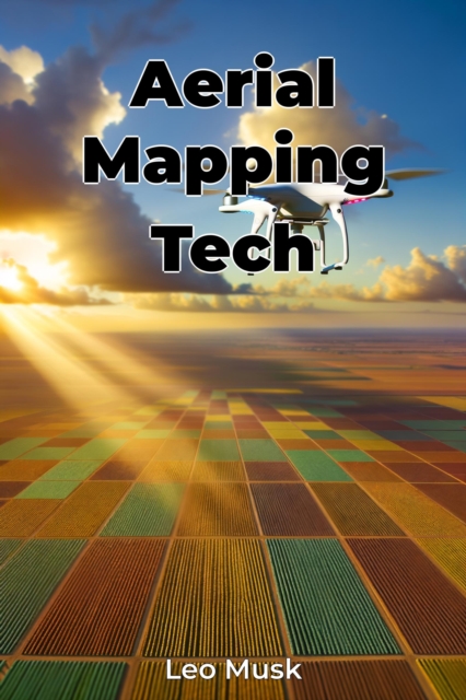
Aerial Mapping Tech
"Aerial Mapping Tech" explores the transformative impact of drone-based imaging systems on spatial data collection, marking a revolutionary shift in how we gather and analyze geographic information. The book meticulously traces the evolution from traditional balloon photography to modern drone technology, highlighting how these innovations have democratized high-resolution aerial imaging across va...
"Aerial Mapping Tech" explores the transformative impact of drone-based imaging systems on spatial data collection, marking a revolutionary shift in how we gather and analyze geographic information. The book meticulously traces the evolution from traditional balloon photography to modern drone technology, highlighting how these innovations have democratized high-resolution aerial imaging across va...
