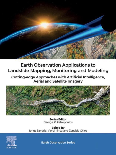
Earth Observation Applications to Landslide Mapping, Monitoring and Modeling
Available
Earth Observation Applications to Landslide Mapping, Monitoring and Modelling: Cutting-edge Approaches with Artificial Intelligence, Aerial and Satellite Imagery focuses on the applications of drone and satellite imagery for mapping landslides. Topics covered include the use of ultra-high aerial imagery, obtained with drones, for mapping and predicting landslide activity (like runoff, volume displ...
Read more
E-book
pdf
Price
126.00 £
Earth Observation Applications to Landslide Mapping, Monitoring and Modelling: Cutting-edge Approaches with Artificial Intelligence, Aerial and Satellite Imagery focuses on the applications of drone and satellite imagery for mapping landslides. Topics covered include the use of ultra-high aerial imagery, obtained with drones, for mapping and predicting landslide activity (like runoff, volume displ...
Read more