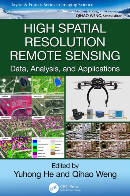
High Spatial Resolution Remote Sensing
High spatial resolution remote sensing is an area of considerable current interest and builds on developments in object-based image analysis, commercial high-resolution satellite sensors, and UAVs. It captures more details through high and very high resolution images (10 to 100 cm/pixel). This unprecedented level of detail offers the potential extraction of a range of multi-resource management inf...
High spatial resolution remote sensing is an area of considerable current interest and builds on developments in object-based image analysis, commercial high-resolution satellite sensors, and UAVs. It captures more details through high and very high resolution images (10 to 100 cm/pixel). This unprecedented level of detail offers the potential extraction of a range of multi-resource management inf...