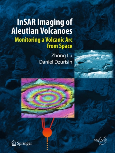
InSAR Imaging of Aleutian Volcanoes
Interferometric synthetic aperture radar (InSAR) is a relatively new remote sensing tool that is capable of measuring ground-surface deformation with centimeter-to-subcentimeter precision at a spatial resolution of tens of meters over an area of hundreds to thousands of square kilometers. With its global coverage and all-weather imaging capability, InSAR has become an increasingly important techni...
Interferometric synthetic aperture radar (InSAR) is a relatively new remote sensing tool that is capable of measuring ground-surface deformation with centimeter-to-subcentimeter precision at a spatial resolution of tens of meters over an area of hundreds to thousands of square kilometers. With its global coverage and all-weather imaging capability, InSAR has become an increasingly important techni...
