Mapping the Frontier
Available
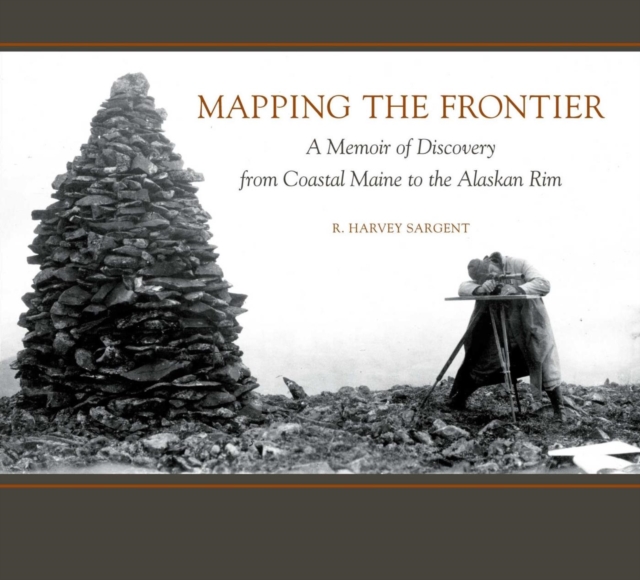
Alaska in 1900 was unexplored frontier, a land where risk, danger, and ultimate adventure made teamwork essential. Maine native R. Harvey Sargent led the U. S. Geological Survey in Alaska for over three decades, 1901-1936, charting the vast expanses of this remarkably beautiful and treacherous land. A pioneer of modern mapping, Sargent introduced 20th-century “firsts”: photogrammetry and aerial su...
Read more
E-book
pdf
Price
24.00 £ * Old Price 41.00 £
Alaska in 1900 was unexplored frontier, a land where risk, danger, and ultimate adventure made teamwork essential. Maine native R. Harvey Sargent led the U. S. Geological Survey in Alaska for over three decades, 1901-1936, charting the vast expanses of this remarkably beautiful and treacherous land. A pioneer of modern mapping, Sargent introduced 20th-century “firsts”: photogrammetry and aerial su...
Read more
Follow the Author
