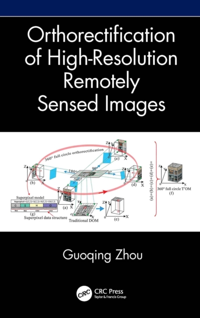
Orthorectification of High-Resolution Remotely Sensed Images
Will be available from 27.10.2026




Orthorectification in remote sensing is used to geometrically correct satellite or aerial image distortions caused by terrain elevation and sensor lense etc. This book explains the orthorectification for different imaging methods such as frame, linear, and video imaging, for different imaged areas such as Greenland without ground features or urban areas with high buildings, for different types of ...
Read more
E-book
epub
Price
58.99 £
Orthorectification in remote sensing is used to geometrically correct satellite or aerial image distortions caused by terrain elevation and sensor lense etc. This book explains the orthorectification for different imaging methods such as frame, linear, and video imaging, for different imaged areas such as Greenland without ground features or urban areas with high buildings, for different types of ...
Read more
Follow the Author