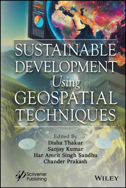
Sustainable Development Using Geospatial Techniques
This book is a must-have for anyone interested in leveraging geospatial technology, as it covers a wide range of applications and offers valuable insights into the mapping, visualization, and analysis of natural resource planning using GIS, remote sensing, and GPS.
Geospatial technology (GT) is a combination of geographic information systems (GIS), remote sensing (RS), and the global position syst...