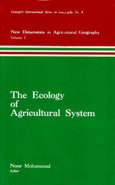
Ecology of Agricultural System (New Dimensions in Agricultural Geography) (Concept's International Series in Geography No.4)
Available
A geographic information system, geographical information system, or geospatial information system is any system that captures, stores, analyses, manages, and presents data that are linked to location. In the simplest terms, GIS is the merging of cartography, statistical analysis, and database technology. GIS may be used in archaeology, geography, cartography, remote sensing, land surveying, publi...
Read more
E-book
pdf
Price
449.99 £
A geographic information system, geographical information system, or geospatial information system is any system that captures, stores, analyses, manages, and presents data that are linked to location. In the simplest terms, GIS is the merging of cartography, statistical analysis, and database technology. GIS may be used in archaeology, geography, cartography, remote sensing, land surveying, publi...
Read more
Follow the Author
