This book presents a range of Bulgaria’s landscapes and landforms — some well-known, others less familiar — to show the variety of the country’s relief.
In this thrilling and utterly unique work of narrative non-fiction, Katherine Dunn explores the acute vulnerability of the GPS satellite system - in a book that lifts the lid on the invisible connections of the globe, from the space race to the phone in our pocketsThis is the story of the Global Positioning System, the network of U.
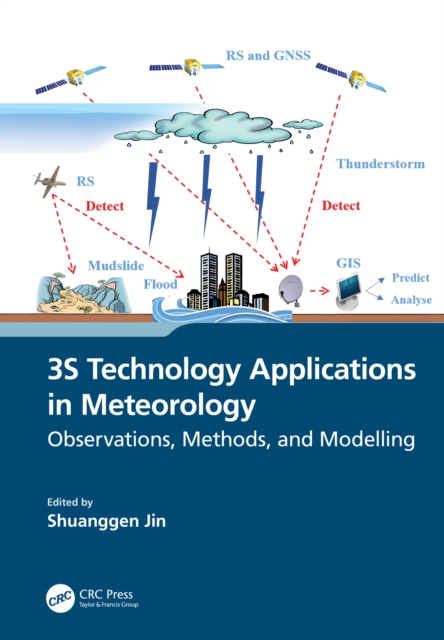
Spatial information technology and its integration, such as remote sensing, geographic information systems (GIS), and global navigation satellite systems (GNSS), known as 3S technology, have been extensively utilized in managing and monitoring natural disasters.
As coastal environments around the world face unprecedented natural and anthropogenic threats, advancements in the technologies that support geospatial data acquisition, imaging, and computing have profoundly enhanced monitoring capabilities in coastal studies.
This book highlights the vivid application of remote sensing and related advanced technologies to study the diverse landscape, natural resources, infrastructure, and environment in the north eastern Himalayan ecosystem in general and the north eastern region of India in particular.
This book highlights the vivid application of remote sensing and related advanced technologies to study the diverse landscape, natural resources, infrastructure, and environment in the north eastern Himalayan ecosystem in general and the north eastern region of India in particular.
This book presents a systematic and comprehensive review of the major seismic hazard assessment and zonation accomplishments for the territory of the present Republic of North Macedonia from 1948 to 2024.
SummaryLocation-Aware Applications is a comprehensive guide to the technology and business of creating compelling location-based services and applications.
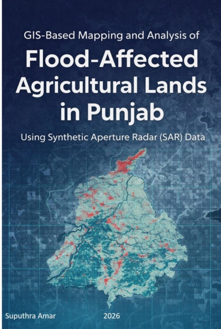
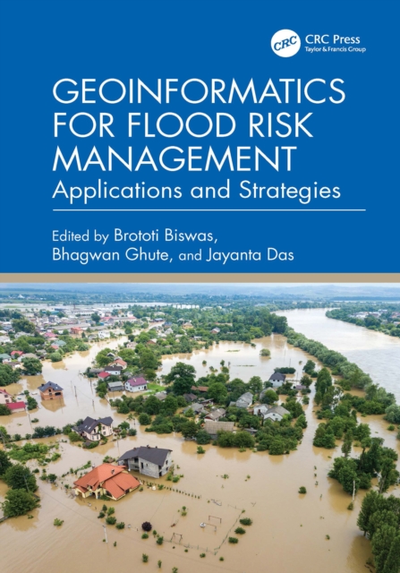
This book presents a comprehensive coverage of the various types of floods, what causes them in different terrains, and the anthropogenic, geographical, hydro-geological, and geomorphological aspects of flood-prone areas.
Die Geschichte von Atlantis – eine sagenumwobene Insel, die von einer fortschrittlichen Zivilisation bewohnt und durch eine Katastrophe zerstört wurde – fasziniert und inspiriert die Menschheit seit mehr als zweitausend Jahren.
›Die Erfindung des Vollmonds‹ ist ein fesselndes Sachbuch, das sich in die Tiefen des menschlichen Bewusstseins wagt und dabei eine ebenso faszinierende wie wissenschaftlich fundierte Reise durch die Vielschichtigkeit der Wahrnehmung unternimmt.
Wave Fields in Real Media examines the differences between an ideal and a real description of wave propagation, where ideal means an elastic (lossless), isotropic and single-phase medium, and real means an anelastic, anisotropic and multi-phase medium.
Advanced Remote Sensing is an application-based reference that provides a single source of mathematical concepts necessary for remote sensing data gathering and assimilation.
This textbook integrates GIS, spatial analysis, and computational methods for solving real-world problems in various policy-relevant social science applications.
The Routledge Handbook of Geospatial Technologies and Society provides a relevant and comprehensive reference point for research and practice in this dynamic field.
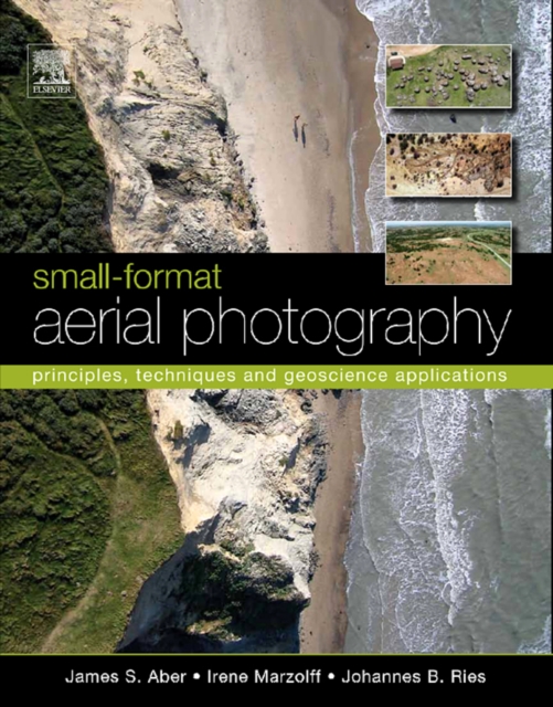
As the need for geographical data rapidly expands in the 21st century, so too do applications of small-format aerial photography for a wide range of scientific, commercial and governmental purposes.
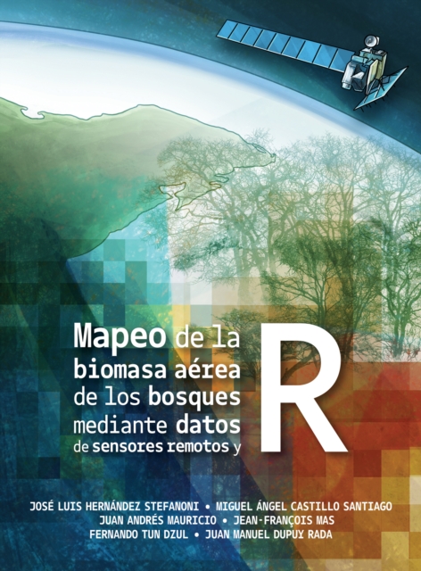
Este libro proporciona una guia para llevar a cabo el mapeo de la biomasa aerea del bosque en grandes superficies relacionando datos de campo con la informacion derivada de imagenes de satelite.
Radiative Transfer in Coupled Environmental Systems This book discusses radiative transfer in coupled media such as atmosphere-ocean systems with Lambertian as well non-Lambertian refl ecting surfaces at the lower boundary.
Radiative Transfer in Coupled Environmental Systems This book discusses radiative transfer in coupled media such as atmosphere-ocean systems with Lambertian as well non-Lambertian refl ecting surfaces at the lower boundary.
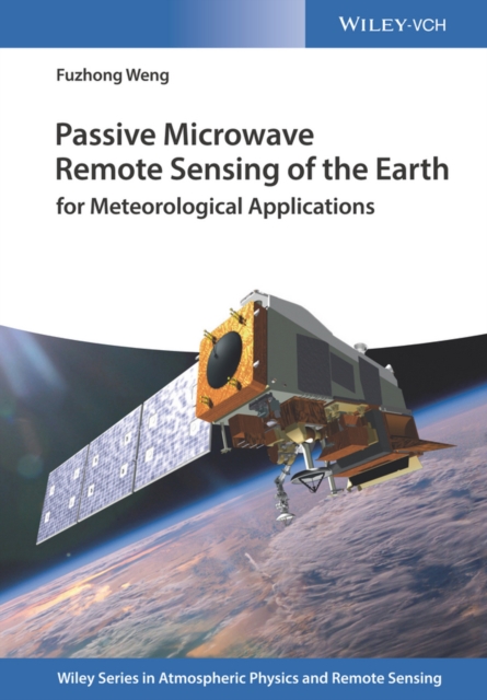
This book covers the fundamentals of satellite microwave instrument calibration, remote sensing sciences and algorithms, as well as the applications of the satellite microwave observations in weather and climate research.
This book covers the fundamentals of satellite microwave instrument calibration, remote sensing sciences and algorithms, as well as the applications of the satellite microwave observations in weather and climate research.
This fourth and full colour edition updates and expands a widely-used textbook aimed at advanced undergraduate and postgraduate students taking courses in remote sensing and GIS in Geography, Geology and Earth/Environmental Science departments.
Geographic Information Science and Technology (GISc&T) has been at the forefront of education innovation in geography and allied sciences for two decades.
Geographic Information Science and Technology (GISc&T) has been at the forefront of education innovation in geography and allied sciences for two decades.
This book offers a comprehensive overview of progress in the general area of fluvial remote sensing with a specific focus on its potential contribution to river management.