Kernel methods have long been established as effective techniques in the framework of machine learning and pattern recognition, and have now become the standard approach to many remote sensing applications.
Essential Image Processing and GIS for Remote Sensing is an accessible overview of the subject and successfully draws together these three key areas in a balanced and comprehensive manner.
This fourth and full colour edition updates and expands a widely-used textbook aimed at advanced undergraduate and postgraduate students taking courses in remote sensing and GIS in Geography, Geology and Earth/Environmental Science departments.
This title focuses on the evolution of the modeling process and on new research perspectives in theoretical and applied geography, as well as spatial planning.
An easy-to-understand reference for navigating through geographic information systems (GIS) GIS (geographic information system) is a totally cool technology that has been called "e;geography on steroids.
An easy-to-understand reference for navigating through geographic information systems (GIS) GIS (geographic information system) is a totally cool technology that has been called "e;geography on steroids.
An updated guide to GNSS and INS, and solutions to real-world GPS/INS problems with Kalman filtering Written by recognized authorities in the field, this second edition of a landmark work provides engineers, computer scientists, and others with a working familiarity with the theory and contemporary applications of Global Navigation Satellite Systems (GNSS), Inertial Navigational Systems (INS), and Kalman filters.
Understanding and predicting the behaviour of natural and human environmental systems is crucial for the effective management of the Earth s limited resources.
Discover the principles and techniques of remote sensing with polarimetric radar This book presents the principles central to understanding polarized wave transmission, scattering, and reception in communication systems and polarimetric and non-polarimetric radar.
Self-Organising Maps: Applications in GI Science brings together the latest geographical research where extensive use has been made of the SOM algorithm, and provides readers with a snapshot of these tools that can then be adapted and used in new research projects.
Remotely-sensed images of the Earth's surface provide a valuable source of information about the geographical distribution and properties of natural and cultural features.
In Geography and GIS, surfaces can be analysed and visualised through various data structures, and topological data structures describe surfaces in the form of a relationship between certain surface-specific features.
'Geographical information science' is not merely a technical subject but also poses theoretical questions on the nature of geographic representation and whether there exist limits on the ability of GI systems to deal with certain objects and issues.
Techniques for Image Processing and Classifications in Remote Sensing provides an introduction to the fundamentals of computer image processing and classification (commonly called "e;"e;pattern recognition"e;"e; in other applications).
Advanced Remote Sensing is an application-based reference that provides a single source of mathematical concepts necessary for remote sensing data gathering and assimilation.
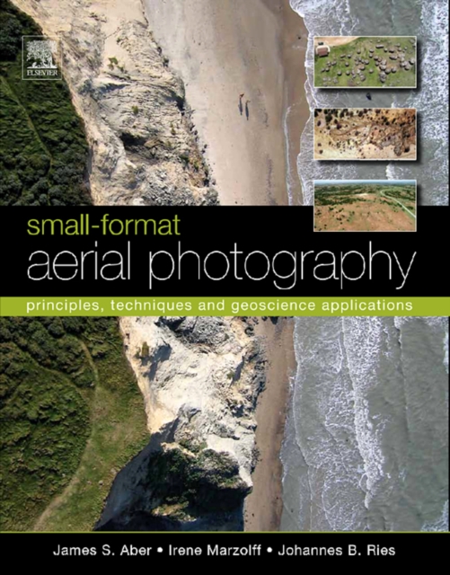
As the need for geographical data rapidly expands in the 21st century, so too do applications of small-format aerial photography for a wide range of scientific, commercial and governmental purposes.
This volume contains the proceedings from the COSPAR Colloquium on "e;Space Remote Sensing of Subtropical Oceans"e; which took place between 12 and 16 September, 1996, at the Institute of Oceanography of the National Taiwan University.
Policy Issues in Modern Cartography contains the views of national mapping agencies, legal scholars, the library community, the private sector and academia on these and many other important issues.
The Global Ocean Observing System (GOOS) is an international programme for a permanent global framework of observations, modelling and analysis of ocean variables that are needed to support operational services around the world.
Arc welding is one of the key processes in industrial manufacturing, with welders using two types of processes - gas metal arc welding (GMAW) and gas tungsten arc welding (GTAW).
This volume documents the techniques for geochemical remote sensing of the subsurface, to present case-history evidence of their successes and limitations, and to consider their further potential.
Wave Fields in Real Media examines the differences between an ideal and a real description of wave propagation, where ideal means an elastic (lossless), isotropic and single-phase medium, and real means an anelastic, anisotropic and multi-phase medium.