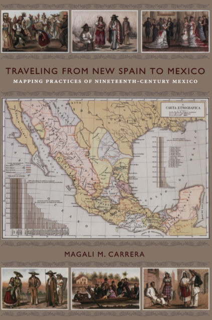
Traveling from New Spain to Mexico
Available
Antonio García Cubas’s Carta general of 1857, the first published map of the independent Mexican nation-state, represented the country’s geographic coordinates in precise detail. The respected geographer and cartographer made mapping Mexico his life’s work. Combining insights from the history of cartography and visual culture studies, Magali M. Carrera explains how García Cubas fabricated credible...
Read more
E-book
pdf
Price
39.95 £
Antonio García Cubas’s Carta general of 1857, the first published map of the independent Mexican nation-state, represented the country’s geographic coordinates in precise detail. The respected geographer and cartographer made mapping Mexico his life’s work. Combining insights from the history of cartography and visual culture studies, Magali M. Carrera explains how García Cubas fabricated credible...
Read more
Follow the Author
