A SUNDAY TIMES #1 BESTSELLERA Waterstones Best Nature & Travel Writing Book 2025'Educational, smart and funny' Richard Osman'This book is superb' Charlie Brooker'Brilliant.
How to Draw a Map is a fascinating meditation on the centuries-old art of map-making, from the first astronomical maps to the sophisticated GPS guides of today.
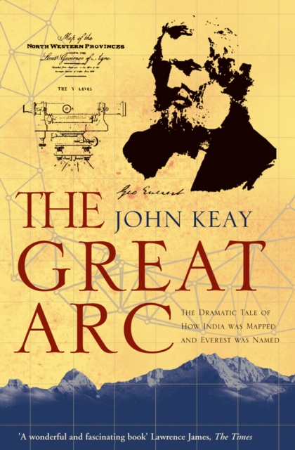
A vivid description of one of the most ambitious scientific projects undertaken in the 19th century, and the men who undertook the measurement of the Himalayas and the mapping of the Indian subcontinent: William Lambton and George Everest.
La guía para el procesamiento de series de tiempo de precipitación y temperatura: estimación de datos faltantes, detección de cambios y homogenización, describe las etapas para realizar el proceso de homogenización de series de tiempo mensuales, contribuyendo a evaluar la calidad de los datos y favoreciendo el desarrollo de estudios climatológicos.
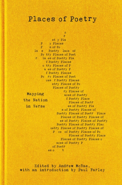
Presenting the best poems from the nationwide Places of Poetry project, selected from over 7,500 entries Poetry lives in the veins of Britain, its farms and moors, its motorways and waterways, highlands and beaches.
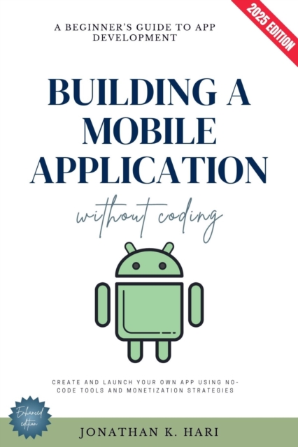
How to Build a Mobile App Without CodingA Beginner's Guide to App Development (Create and Launch Your Own App Using No-Code Tools and Monetization Strategies)The world of app development is evolving, and you no longer need programming skills to create your dream application.
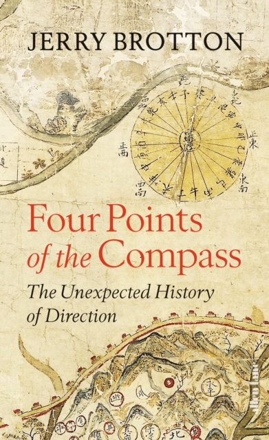
A sparkling exploration of direction, by the acclaimed author of A History of the World in 12 MapsNorth, south, east and west: almost all societies use the four cardinal directions to orientate themselves, to understand who they are by projecting where they are.
Die Geschichte von Atlantis – eine sagenumwobene Insel, die von einer fortschrittlichen Zivilisation bewohnt und durch eine Katastrophe zerstört wurde – fasziniert und inspiriert die Menschheit seit mehr als zweitausend Jahren.
La topografía es una ciencia que avanza a gran velocidad: cada día se realizan procesos con una gran eficiencia y alcanzando grandes precisiones; los autores, como fruto de su ejercicio profesional, investigativo y docente, en este texto presentan los conceptos actualizados y sus aplicaciones de la topografía en el desarrollo de obras civiles.
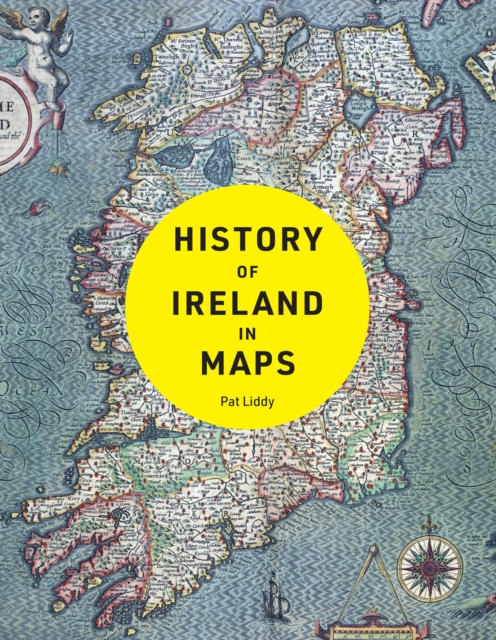
- Conozca el desarrollo de distintas ciudades a lo largo del tiempo a través de una progresión de estilos cartográficos para obtener una visión sorprendente de nuestra propia evolución humana como seres sociales colectivos.
Diario de la navegación que va a hacer don Basilio Villarino, segundo piloto de la Real Armada, con las dos embarcaciones de su mando, el bergantín Nuestra Señora de Carmen y Ánimas, y la chalupa San Francisco de Asís, desde el Río Negro, a reconocer la costa, la Bahía de Todos los Santos, Islas del Buen Suceso y demás adyacentes, buscar el desagüe del río Colorado, y penetrar su entrada, de orden del Comisario Superintendente de estos establecimientos, el señor don Francisco de Viedma.
Diario de la navegación que va a hacer don Basilio Villarino, segundo piloto de la Real Armada, con las dos embarcaciones de su mando, el bergantín Nuestra Señora de Carmen y Ánimas, y la chalupa San Francisco de Asís, desde el Río Negro, a reconocer la costa, la Bahía de Todos los Santos, Islas del Buen Suceso y demás adyacentes, buscar el desagüe del río Colorado, y penetrar su entrada, de orden del Comisario Superintendente de estos establecimientos, el señor don Francisco de Viedma.
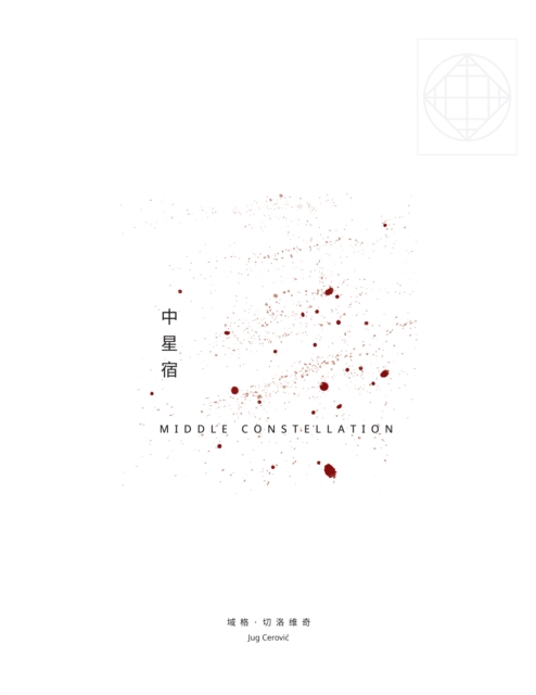
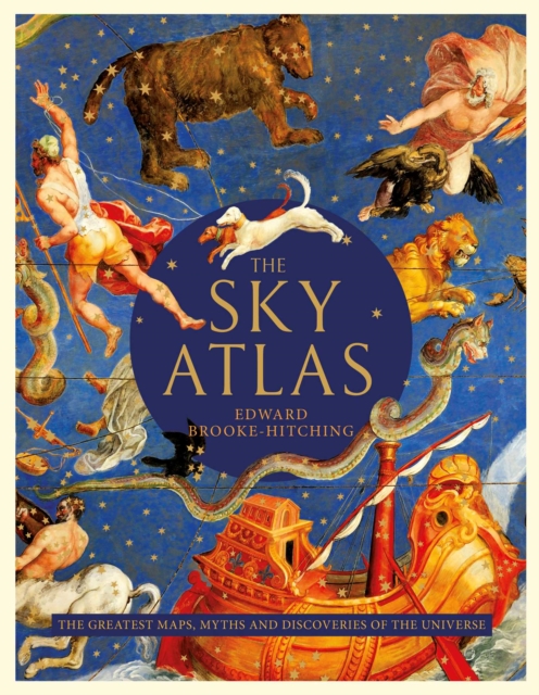
After the enormous international success of The Phantom Atlas and The Golden Atlas, Edward Brooke-Hitchings stunning new book unveils some of the most beautiful maps and charts ever created during mankinds quest to map theskies above us.
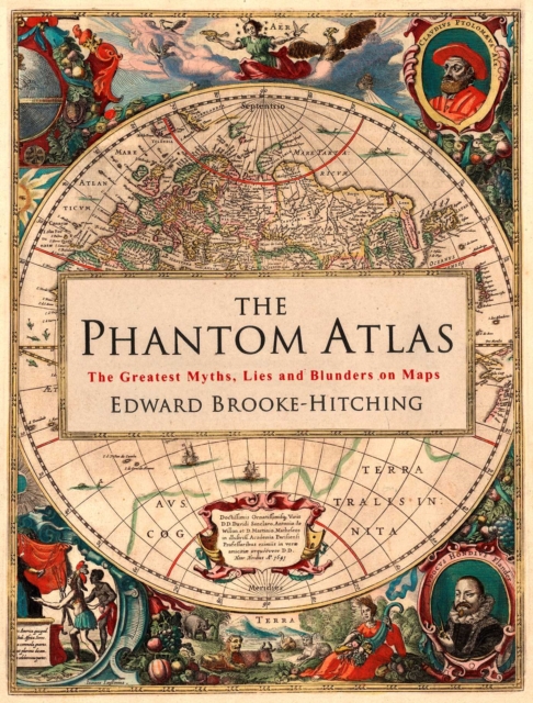
A STUNNINGLY ILLUSTRATED BOOK REVEALING THE GREATEST MYTHS, LIES AND BLUNDERS ON MAPS Highly recommended - Andrew Marr A spectacular, enjoyable and eye-opening read - Jonathan RossThe Phantom Atlas is an atlas of the world not as it ever existed, but as it was thought to be.
Mapping: A Critical Introduction to Cartography and GIS is an introduction to the critical issues surrounding mapping and Geographic Information Systems (GIS) across a wide range of disciplines for the non-specialist reader.
Mapping: A Critical Introduction to Cartography and GIS is an introduction to the critical issues surrounding mapping and Geographic Information Systems (GIS) across a wide range of disciplines for the non-specialist reader.
This new edition of the well-established Kearey and Brooks text is fully updated to reflect the important developments in geophysical methods since the production of the previous edition.
Classics in Cartography provides an intellectually-driven reinterpretation of a selection of ten touchstone articles in the development of mapping scholarship over the last four decades.
The definitive guide to bringing accuracy to measurement, updated and supplemented Adjustment Computations is the classic textbook for spatial information analysis and adjustment computations, providing clear, easy-to-understand instruction backed by real-world practicality.
The definitive guide to bringing accuracy to measurement, updated and supplemented Adjustment Computations is the classic textbook for spatial information analysis and adjustment computations, providing clear, easy-to-understand instruction backed by real-world practicality.
A comprehensive overview of high precision surveying, including recent developments in geomatics and their applications This book covers advanced precision surveying techniques, their proper use in engineering and geoscience projects, and their importance in the detailed analysis and evaluation of surveying projects.
A comprehensive overview of high precision surveying, including recent developments in geomatics and their applications This book covers advanced precision surveying techniques, their proper use in engineering and geoscience projects, and their importance in the detailed analysis and evaluation of surveying projects.
Employ the latest satellite positioning tech with this extensive guide GPS Satellite Surveying is the classic text on the subject, providing the most comprehensive coverage of global navigation satellite systems applications for surveying.
Employ the latest satellite positioning tech with this extensive guide GPS Satellite Surveying is the classic text on the subject, providing the most comprehensive coverage of global navigation satellite systems applications for surveying.
This book is intended for applications of online digital mapping, called mashups (or composite application), and to analyze the mapping practices in online socio-technical controversies.
This book is intended for applications of online digital mapping, called mashups (or composite application), and to analyze the mapping practices in online socio-technical controversies.