This new edition of the well-established Kearey and Brooks text is fully updated to reflect the important developments in geophysical methods since the production of the previous edition.
Bernardo de Miera y Pacheco (17131785) is remembered today not only as colonial New Mexico's preeminent religious artist, but also as the cartographer who drew some of the most important early maps of the American West.
This book focuses on the work of the great sixteenth-century traveller and map-maker Andre Thevat and explores the interrelations between representation and power in the age of discovery.
WINNER OF THE CANTEMIR PRIZE 2012 awarded by the Berendel Foundation The Map Reader brings together, for the first time, classic and hard-to-find articles on mapping.
WINNER OF THE CANTEMIR PRIZE 2012 awarded by the Berendel Foundation The Map Reader brings together, for the first time, classic and hard-to-find articles on mapping.
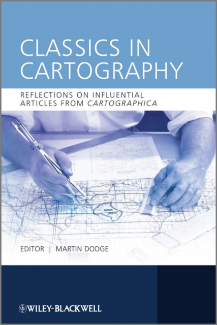
Classics in Cartography provides an intellectually-driven reinterpretation of a selection of ten touchstone articles in the development of mapping scholarship over the last four decades.
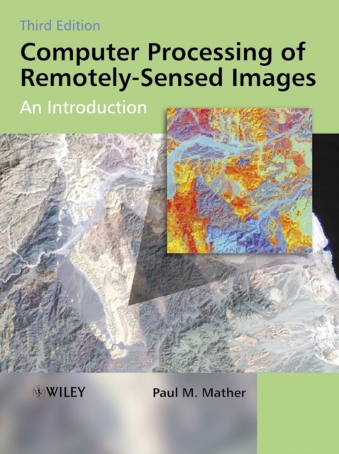
Remotely-sensed images of the Earth's surface provide a valuable source of information about the geographical distribution and properties of natural and cultural features.
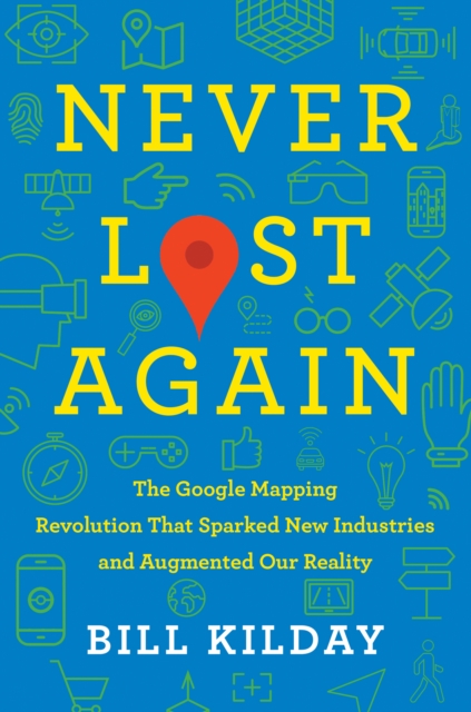
As enlightening as The Facebook Effect, Elon Musk, and Chaos Monkeysthe compelling, behind-the-scenes story of the creation of one of the most essential applications ever devised, and the rag-tag team that built it and changed how we navigate the worldNever Lost Again chronicles the evolution of mapping technologythe "e;overnight success twenty years in the making.
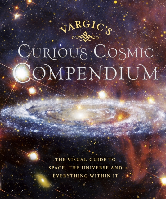
Take a trip to outer space with this weird and wonderful guide to our universe, the perfect gift for both young and old Vargic's beautifully innovative designs will help to explain all of the bizarre and fascinating aspects of the cosmos; from the history of the universe to what makes up our solar system and even how human life fits into the wider picture.
On October 23, 1852, Professor Augustus De Morgan wrote a letter to a colleague, unaware that he was launching one of the most famous mathematical conundrums in history--one that would confound thousands of puzzlers for more than a century.
A narrative history of the men and women who have explored Mars and mapped its surface from afar, and in so doing conditioned our understanding of our nearest planetary neighbour.
Discover the 12 crucial moments in Britain's past that will answer the greatest questions for our future in this richly insightful and fascinating history'A richly entertaining canter through the country's past.
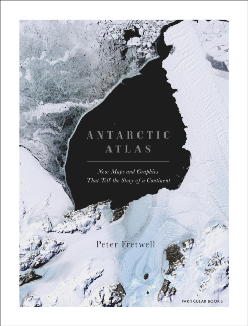
A FINANCIAL TIMES BOOK OF THE YEAR 2020SHORTLISTED FOR THE ESTWA AWARD FOR ILLUSTRATED TRAVEL BOOK OF THE YEAR 2022One of the least-known places on the planet, the only continent on earth with no indigenous population, Antarctica is a world apart.
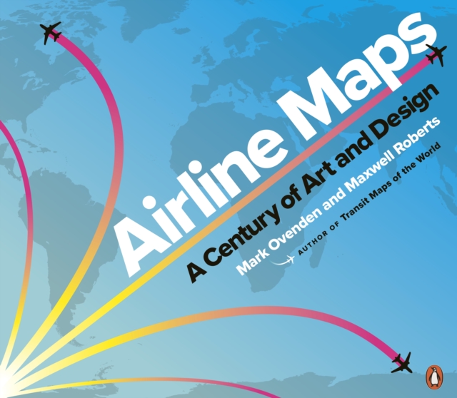
In this gorgeously illustrated collection of airline route maps, Mark Ovenden and Maxwell Roberts look to the skies and transport readers to another time.
THE EXTRAORDINARY TALE OF THE FATHER OF MODERN GEOLOGYHidden behind velvet curtains above a stairway in a house in London's Piccadilly is an enormous and beautiful hand-coloured map - the first geological map of anywhere in the world.
On October 23, 1852, Professor Augustus De Morgan wrote a letter to a colleague, unaware that he was launching one of the most famous mathematical conundrums in history--one that would confound thousands of puzzlers for more than a century.
Sophisticated interactive maps are increasingly used to explore information - guiding us through data landscapes to provide information and prompt insight and understanding.
Theoretical and Applied Solutions in Multi Scale MappingUsers have come to expect instant access to up-to-date geographical information, with global coverage--presented at widely varying levels of detail, as digital and paper products; customisable data that can readily combined with other geographic information.
The book compiles the main ideas and methodologies that have been proposed and tested within these last fifteen years in the field of Digital Soil Mapping (DSM).