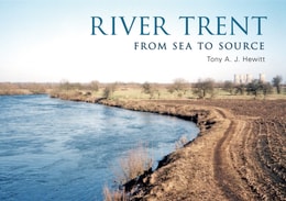
For some the River Trent is synonymous with a northern Staffordshire city, for others the hub of the ceramics industry, perhaps the heart of the brewing world or a famous bridge near a famous cricket ground.
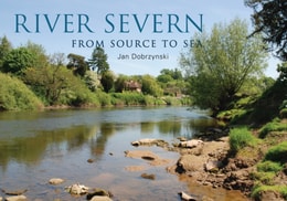
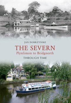
From a water-laden bog in the Cambrian Mountains of Wales to the mighty Bristol Channel, the River Severn carves its way through some of the most picturesque and varied landscapes in the country.
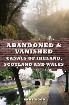
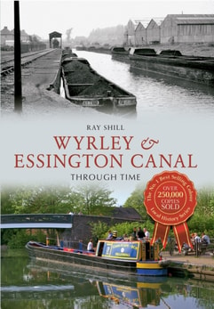
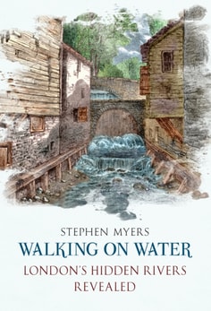
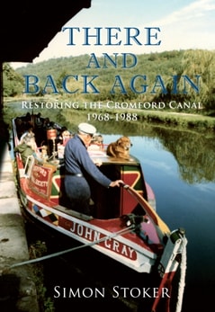
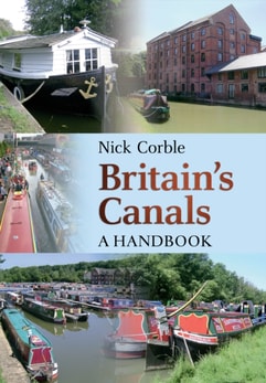
A resurgence in canal restoration has seen many British canals reopen in the past three decades, but many are still abandoned, some even vanished under roads, railways and buildings.
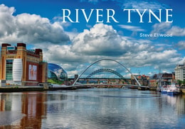
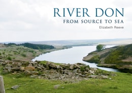
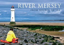
This book seeks to explore the River Tyne as it runs from source to sea, using old and contemporary photographs together with postcards to explore the communities, settlements and industries that have existed along its course.
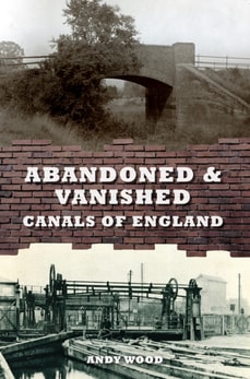
Many thousands of route miles of canal and navigation once used to criss-cross England, serving collieries, iron mines, steelworks, towns and villages.
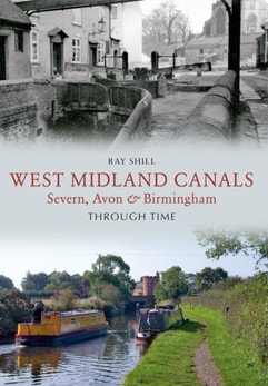
This book is a study of waterways infrastructure and investigates through images and maps how the present midland network of canal and river navigations was put together.
Since the development of photography in the middle of the last century, the picture of our past provided by the written chronicle, the museum artefact or by failing memory has been augmented by the most vivid and immediate relic of former times, the photograph.
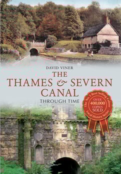
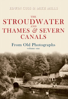
Crossing the Cotswolds and widely regarded as one of the most attractive locations for an historic canal, the Thames & Severn Canal is also one of the most interesting to trace and enjoy on the ground today.
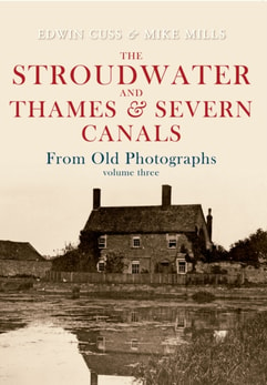
Built between 1775 and 1779, the Stroudwater Navigation stretched from Framilode to Wallbridge in Stroud where it later connected with the Thames & Severn Canal to form a link between the River Severn and the River Thames.
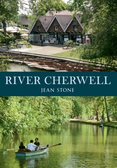
The River Cherwell carves its way through a broad, deep valley that runs north to south, starting a few miles above the market town of Banbury and continuing down as far as the university city of Oxford, bending and twisting, meeting up sometimes with the Oxford Canal and parting company again as they reach the city outskirts.
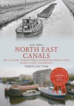
North East Canals Through Time follows on from previous titles by specialist author and canal historian Ray Shill, notably North West Canals Through Time: Manchester, Irwell & the Peaks.
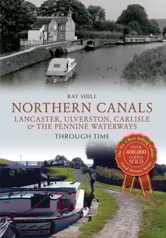
Northern Canals Through Time follows on from the previous title by well-known author Ray Shill, North West Canals Through Time: Manchester, Irwell & the Peaks, as a study of waterway infrastructure, in this case focusing particularly on Lancaster, Ulverston, Carlisle, and the Pennine Waterways from west to east, including from Nelson to Leeds on the Leeds & Liverpool, the canal from Rochdale to Sowerby Bridge on the Rochdale and the Huddersfield (Narrow) from Ashton to Huddersfield.
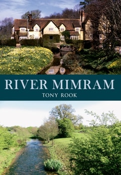
The River Mimram rises from a spring to the north-west of Whitwell in North Hertfordshire and makes its confluence with the River Lea near Horn's Hill.
Always known as the Wilts & Berks Canal, never Wiltshire and Berkshire, the W&B has been derelict and abandoned for over a century, but plans exist to restore the waterway.
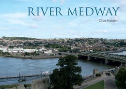
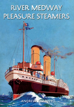
The River Medway travels through the highly populated areas of Gillingham, Chatham, Maidstone and Tonbridge, among a number of other smaller towns and villages.
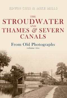
The scenic beauty of the canals' route through the Golden Valley provided professionals and amateur photographers of the 1870-1930 period with a plethora of subjects.
This volume completes a trilogy of albums dedicated to capturing as much as possible of the evidence from historic photographs of two famous canals which together linked the rivers Severn and Thames.
The Gloucester & Sharpness Canal - An Illustrated History draws on contemporary sources and throws new light on the construction, operation and maintenance of the canal.
Enigmatic and mysterious are the two words most often applied to the earthworks known as the dykes, built somewhere after the end of the Roman period in Britain.
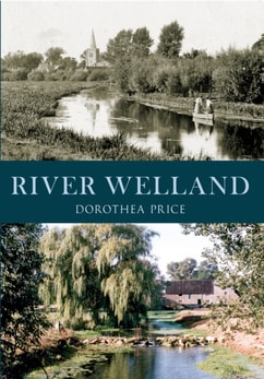
THE RIVER WELLAND has been a main waterway through South Lincolnshire for centuries, flowing through Stamford, Market Deeping, Deeping St James, Crowland, Spalding and finally out to the sea at Fosdyke.
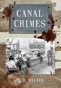
Covering an area from Liverpool to London, Canal Crimes explores the whole range of criminal activity on Britain's Waterways during the nineteenth and early twentieth centuries.
The history of the canals and waterways of North West England, including the Ashton Canal, Peak Forest Canal, Rochdale Canal, Huddersfield Canals, Manchester Bolton & Bury Canal and River Ribble, is traced through old and modern colour photographs.