GIS and Geocomputation for Water Resource Science and Engineering not only provides a comprehensive introduction to the fundamentals of geographic information systems but also demonstrates how GIS and mathematical models can be integrated to develop spatial decision support systems to support water resources planning, management and engineering.
GIS and Geocomputation for Water Resource Science and Engineering not only provides a comprehensive introduction to the fundamentals of geographic information systems but also demonstrates how GIS and mathematical models can be integrated to develop spatial decision support systems to support water resources planning, management and engineering.
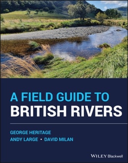
Since the publication of the first edition (1994) there have been rapid developments in the application of hydrology, geomorphology and ecology to stream management.
This book presents the basics of the non-invasive geophysical method for groundwater investigation, called Magnetic Resonance Sounding (MRS) or Surface Nuclear Magnetic Resonance (SNMR), and its practical application to the problems of groundwater localization and aquifer characterization.
This book presents the basics of the non-invasive geophysical method for groundwater investigation, called Magnetic Resonance Sounding (MRS) or Surface Nuclear Magnetic Resonance (SNMR), and its practical application to the problems of groundwater localization and aquifer characterization.
The authoritative introduction to natural water chemistry THIRD EDITION Now in its updated and expanded Third Edition, Aquatic Chemistry remains the classic resource on the essential concepts of natural water chemistry.
As pressures on Australia's inland waters intensify from population growth, expanding resource development and climate change, there is an urgent need to manage and protect these special areas.
As pressures on Australia's inland waters intensify from population growth, expanding resource development and climate change, there is an urgent need to manage and protect these special areas.
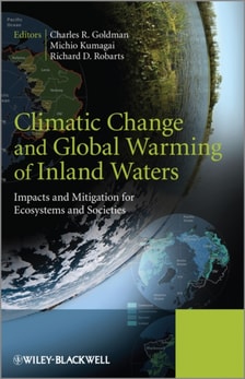
Effects of global warming on the physical, chemical, ecological structure and function and biodiversity of freshwater ecosystems are not well understood and there are many opinions on how to adapt aquatic environments to global warming in order to minimize the negative effects of climate change.
Effects of global warming on the physical, chemical, ecological structure and function and biodiversity of freshwater ecosystems are not well understood and there are many opinions on how to adapt aquatic environments to global warming in order to minimize the negative effects of climate change.
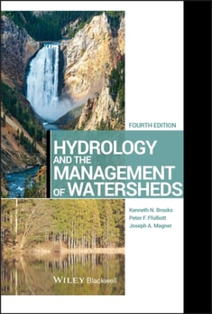
This new edition is a major revision of the popular introductory reference on hydrology and watershed management principles, methods, and applications.
This new edition is a major revision of the popular introductory reference on hydrology and watershed management principles, methods, and applications.
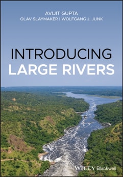
An accessible introduction to large rivers, including coverage of the geomorphology, hydrology, ecology, and environments of large river systems This indispensible book takes a structured and global approach to the subject of large rivers, covering geomorphology, hydrology, ecology, and anthropogenic environment.
An accessible introduction to large rivers, including coverage of the geomorphology, hydrology, ecology, and environments of large river systems This indispensible book takes a structured and global approach to the subject of large rivers, covering geomorphology, hydrology, ecology, and anthropogenic environment.
With $2 billion spent annually on stream restoration worldwide, there is a pressing need for guidance in this area, but until now, there was no comprehensive text on the subject.
With $2 billion spent annually on stream restoration worldwide, there is a pressing need for guidance in this area, but until now, there was no comprehensive text on the subject.
The fourth edition of this bestselling textbook has been fully revised in order to present the most up-to-date and comprehensive guide to completing a hydrogeological study.
The fourth edition of this bestselling textbook has been fully revised in order to present the most up-to-date and comprehensive guide to completing a hydrogeological study.
This book offers a comprehensive overview of progress in the general area of fluvial remote sensing with a specific focus on its potential contribution to river management.
Volume III of Geospatial Information Handbook for Water Resources and Watershed Management discusses water and watershed issues such as water quality, evapotranspiration, water resource management, and ecological services.
Volume I of Geospatial Information Handbook for Water Resources and Watershed Management discusses fundamental characteristics, measurements, and analyses of water features and watersheds including lakes and reservoirs, rivers and streams, and coasts and estuaries.
Volume II of Geospatial Information Handbook for Water Resources and Watershed Management discusses Geospatial Technology (GT) approaches using integrated modeling as applied to advanced water resource assessments.
Volume II of Geospatial Information Handbook for Water Resources and Watershed Management discusses Geospatial Technology (GT) approaches using integrated modeling as applied to advanced water resource assessments.
Volume I of Geospatial Information Handbook for Water Resources and Watershed Management discusses fundamental characteristics, measurements, and analyses of water features and watersheds including lakes and reservoirs, rivers and streams, and coasts and estuaries.
Volume III of Geospatial Information Handbook for Water Resources and Watershed Management discusses water and watershed issues such as water quality, evapotranspiration, water resource management, and ecological services.
The Great Lakes of the World (GLOW) is a series of international symposia organized by the Aquatic Ecosystem Health and Management Society in order to promote interaction and communication between Great Lakes scientists and communities around the world.