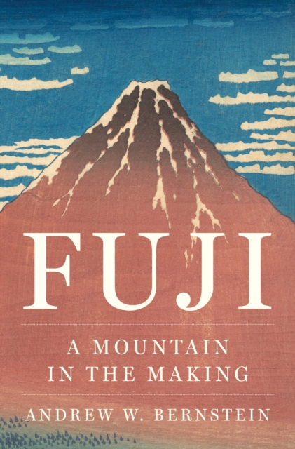
A panoramic history of Japan's iconic mountain from the Ice Age to the presentMount Fuji is everywhere recognized as a wonder of nature and enduring symbol of Japan.
A panoramic history of Japan's iconic mountain from the Ice Age to the presentMount Fuji is everywhere recognized as a wonder of nature and enduring symbol of Japan.
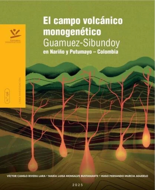
Esta obra presenta los resultados que permitieron proponer el Campo Volcánico Monogenético Guamuez-Sibundoy (CVMGS), ubicado en la región suroccidental de Colombia entre los departamentos de Nariño y Putumayo.
For thousands of years, earthquakes have terrified human beings—seen first as the footsteps of angry gods, the rage of monstrous serpents beneath the earth, or the punishment of forgotten sins.
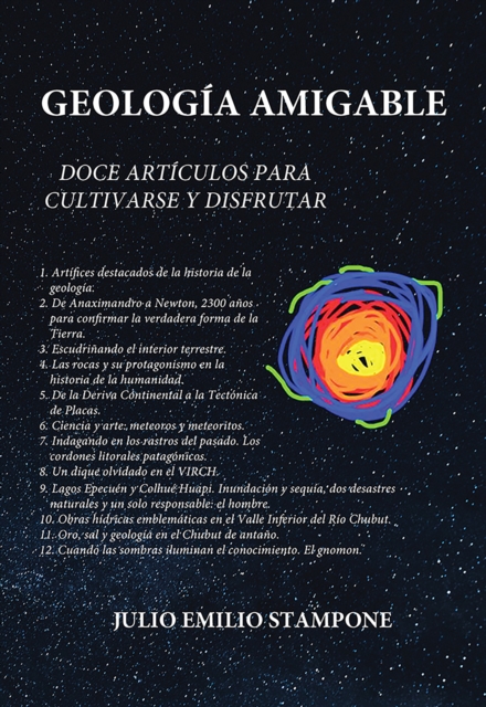
Geología amigable es una obra de divulgación científica escrita por Julio Emilio Stampone, que reúne artículos originalmente publicados en su blog entre los años 2019 y 2024.
**Ich will Aron - alles von ihm, egal wie sehr ich ihn nicht wollen sollte** Kaum jemand weiß so gut über brodelnde Vulkane Bescheid wie Scarlett Graham.
Adventures in Volcanoland charts journeys across deserts, through jungles and up ice caps, to some of the world's most important volcanoes, from Nicaragua to Hawaii, Santorini to Ethiopia, exploring Tamsin Mather's obsession with these momentous geological formations, the cultural and religious roles they have played in the minds of those living around them at different times throughout history, and the science behind their formation and eruptions.
Das Buch eröffnet einen sanften Blick in die Zukunft der Menschheit und schildert den spannenden Beginn einer neuen Wissenschaft, der Eterodynamik, mit Hilfe derer es auf längere Sicht hin gelingen wird, einige der derzeitigen Probleme der Menschheit zu lösen.
El catastrofico terremoto de Valparaiso en 1906, que dejo mas de tres mil muertos, posibilito variadas acciones, entre ellas el desarrollo del estudio sismico.
The first work of its kind, Volcanic Reservoirs in Petroleum Exploration summarizes the current research and exploration techniques of volcanic reservoirs as a source of oil and gas.
Paleoseismology has become an important component of seismic risk analysis, which is mandated for nuclear power plants, dams, waste repositories, and other critical structures.
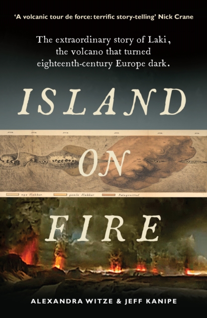
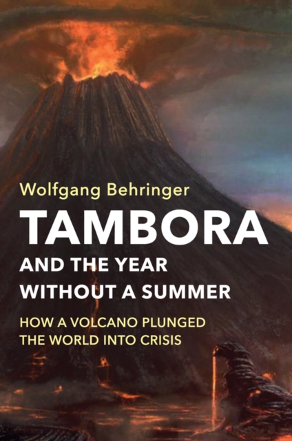
A global history of the climate catastrophe caused by the Tambora eruptionWhen Indonesia's Mount Tambora erupted in 1815, it unleashed the most destructive wave of extreme weather the world has witnessed in thousands of years.
Why seismologists still can't predict earthquakesAn earthquake can strike without warning and wreak horrific destruction and death, whether it's the catastrophic 2010 quake that took a devastating toll on the island nation of Haiti or a future great earthquake on the San Andreas Fault in California, which scientists know is inevitable.
Light scattering-based methods are used to characterize small particles suspended in water in a wide range of disciplines ranging from oceanography, through medicine, to industry.
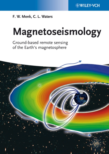
Written by a researcher at the forefront of the field, this first comprehensive account of magnetoseismology conveys the physics behind these movements and waves, and explains how to detect and investigate them.
Written by a researcher at the forefront of the field, this first comprehensive account of magnetoseismology conveys the physics behind these movements and waves, and explains how to detect and investigate them.
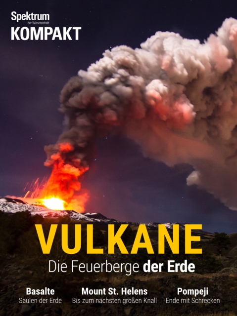
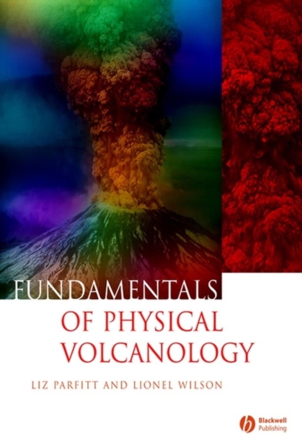
Volcanoes are essential elements in the delicate global balance of elemental forces that govern both the dynamic evolution of the Earth and the nature of Life itself.
An Introduction to Seismology, Earthquakes and Earth Structures is an introduction to seismology and its role in the earth sciences, and is written for advanced undergraduate and beginning graduate students.
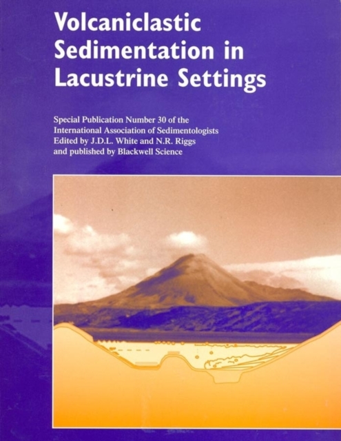
This volume presents a unique compendium of papers assessing the effects of volcanism on lakes, as recorded by the volcaniclastic sediments deposited within them.