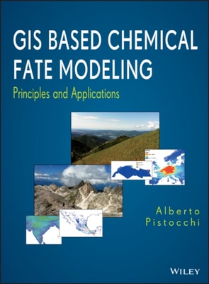
Explains how GIS enhances the development of chemical fate and transport models Over the past decade, researchers have discovered that geographic information systems (GIS) are not only excellent tools for managing and displaying maps, but also useful in the analysis of chemical fate and transport in the environment.
Explains how GIS enhances the development of chemical fate and transport models Over the past decade, researchers have discovered that geographic information systems (GIS) are not only excellent tools for managing and displaying maps, but also useful in the analysis of chemical fate and transport in the environment.
An updated guide to GNSS, and INS, and solutions to real-world GNSS/INS problems with Kalman filtering Written by recognized authorities in the field, this third edition of a landmark work provides engineers, computer scientists, and others with a working familiarity of the theory and contemporary applications of Global Navigation Satellite Systems (GNSS), Inertial Navigational Systems, and Kalman filters.
An updated guide to GNSS, and INS, and solutions to real-world GNSS/INS problems with Kalman filtering Written by recognized authorities in the field, this third edition of a landmark work provides engineers, computer scientists, and others with a working familiarity of the theory and contemporary applications of Global Navigation Satellite Systems (GNSS), Inertial Navigational Systems, and Kalman filters.
How do you draw a map of 100,000 places, of more than a million flows of people, of changes over time and space, of different kinds of spaces, surfaces and volumes, from human travel time to landscapes of hopes, fears, migration, manufacturing and mortality?
How do you draw a map of 100,000 places, of more than a million flows of people, of changes over time and space, of different kinds of spaces, surfaces and volumes, from human travel time to landscapes of hopes, fears, migration, manufacturing and mortality?
This book offers a comprehensive overview of progress in the general area of fluvial remote sensing with a specific focus on its potential contribution to river management.
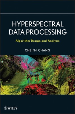
Hyperspectral Data Processing: Algorithm Design and Analysis is a culmination of the research conducted in the Remote Sensing Signal and Image Processing Laboratory (RSSIPL) at the University of Maryland, Baltimore County.
Hyperspectral Data Processing: Algorithm Design and Analysis is a culmination of the research conducted in the Remote Sensing Signal and Image Processing Laboratory (RSSIPL) at the University of Maryland, Baltimore County.
The third book in the trilogy that explores the popular missional movement From Reggie McNeal, the bestselling author of The Present Future and Missional Renaissance, comes the third book in the series that helps to define and illuminate the popular missional movement.
The third book in the trilogy that explores the popular missional movement From Reggie McNeal, the bestselling author of The Present Future and Missional Renaissance, comes the third book in the series that helps to define and illuminate the popular missional movement.
A primatologist''s guide to using geographic information systems (GIS); from mapping and field accuracy, to tracking travel routes and the impact of logging.
In recent decades, natural hazards have increasingly threatened lives, livelihoods, and economies, with annual losses totalling billions of dollars globally.
Deep Learning for Multi-Sensor Earth Observation addresses the need for transformative Deep Learning techniques to navigate the complexity of multi-sensor data fusion.
Presents state-of-the-art research into leaf interactions with light, for scientists working in remote sensing, plant physiology, ecology and resource management.
Presents state-of-the-art research into leaf interactions with light, for scientists working in remote sensing, plant physiology, ecology and resource management.
Explains how satellite remote sensing informs and helps deliver successful conservation management through case studies, which highlight practitioner experience.
Explains how satellite remote sensing informs and helps deliver successful conservation management through case studies, which highlight practitioner experience.
Geographic information systems (GIS) is a rapidly advancing field that has become thoroughly integrated into our society and inseparable from our daily lives.
This accessible reference presents the evolution of concepts of time and methods of time keeping, for historians, scientists, engineers, and educators.
This accessible reference presents the evolution of concepts of time and methods of time keeping, for historians, scientists, engineers, and educators.
A comprehensive manual exploring radiometry methodologies and principles used with satellite-, radiometer- and thermal-camera data, for academic researchers and graduate students.
A comprehensive manual exploring radiometry methodologies and principles used with satellite-, radiometer- and thermal-camera data, for academic researchers and graduate students.
Subpixel mapping is a technology that generates a fine resolution land cover map from coarse resolution fractional images by predicting the spatial locations of different land cover classes at the subpixel scale.
Subpixel mapping is a technology that generates a fine resolution land cover map from coarse resolution fractional images by predicting the spatial locations of different land cover classes at the subpixel scale.