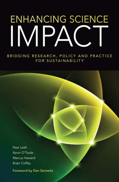
Sustainability challenges blur the boundaries between academic disciplines, between research, policy and practice, and between states, markets and society.
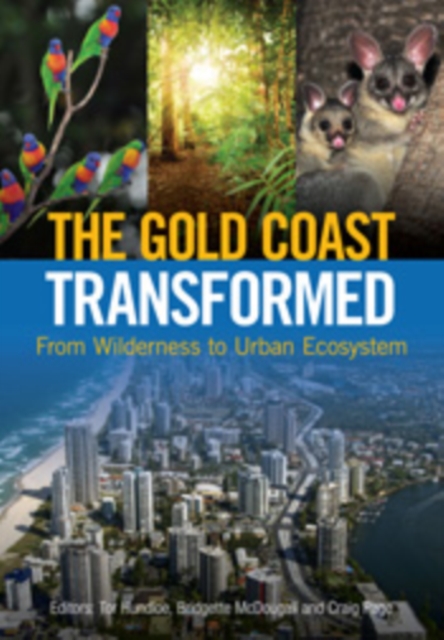
The Gold Coast is one of Australia's premier tourism destinations, a modern city cut out of coastal vegetation, including paperbark swamps, mangroves and rainforests of both Indigenous and worldwide significance.
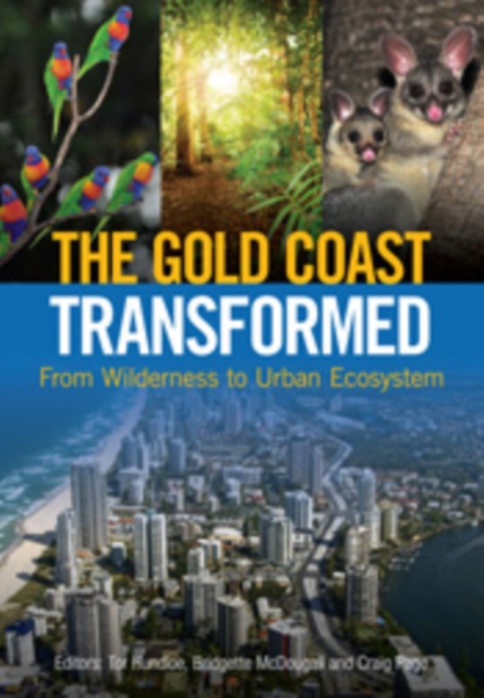
The Gold Coast is one of Australia's premier tourism destinations, a modern city cut out of coastal vegetation, including paperbark swamps, mangroves and rainforests of both Indigenous and worldwide significance.
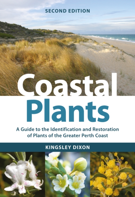
The greater Perth coast is a biodiverse and ecologically vulnerable region, with its unique native plant species threatened by clearing, invasive species, fire and climate change.
Proceedings of the International Meeting on UNEP's Regional Programmes in Mediterranean and Caribbean Seas, Genoa, Italy, 12-14 February 1992 which concentrated on three issues of particular interest: water quality, coastal zone management, sea-level rise and the risks and consequences of erosion and flooding.
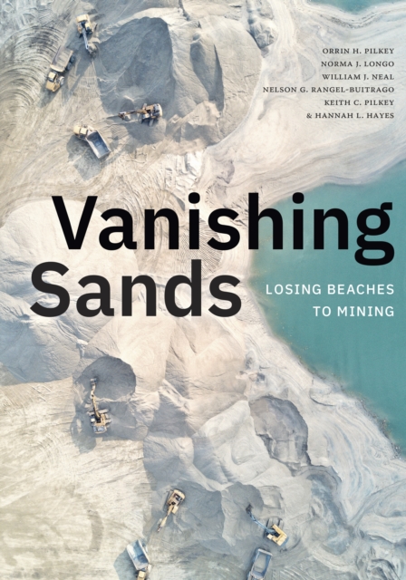
In a time of accelerating sea level rise and increasingly intensifying storms, the world's sandy beaches and dunes have never been more crucial to protecting coastal environments.
At an increasingly global scale, aquatic scientists are heavily entrenched in understanding the fate of marine ecosystems in the face of human-altered environments.
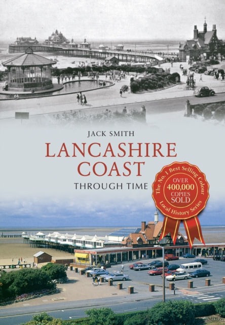
Stretching from the Ribble Estuary to the River Kent, the Lancashire coast provides both spectacular views and glimpses of the county's industrial heritage.
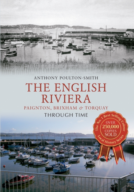
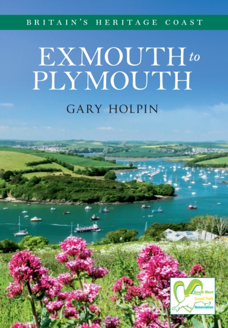
The three towns of Paignton, Brixham and Torquay form the area of the Devon coast known as the English Riviera, due to the sandy beaches, mild climate and host of leisure attractions.
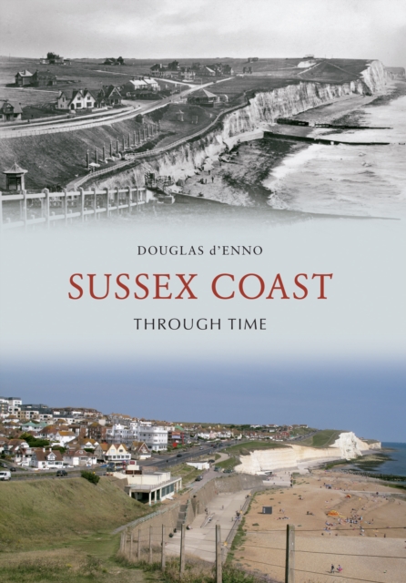
Stretching for some 90 miles from the Kent boundary near Camber Sands with its sand dunes to Thorney Island within the sheltered waters of Chichester Harbour, the Sussex coast presents a rich variety of features, from bustling resorts to oases of calm and isolation.
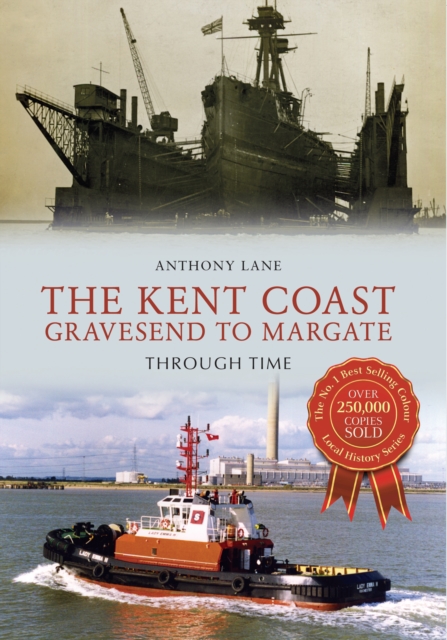
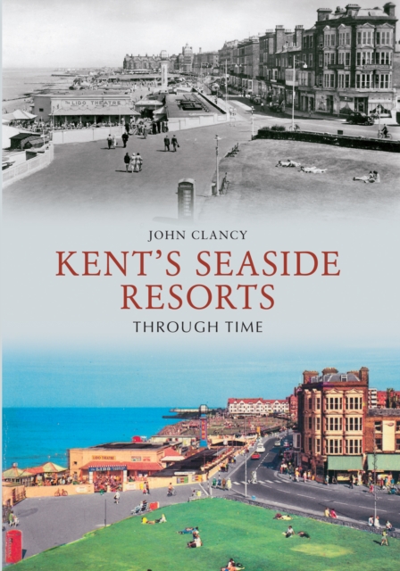
Kent has one of the longest coastlines in Britain and was at the forefront of the growth of the British seaside industry from the eighteenth century onwards when sea bathing became fashionable.
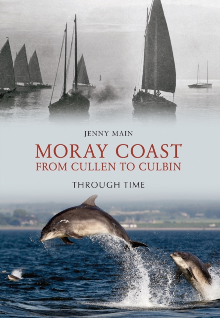
The Moray coast contains a wide variety of scenery, from rocky coastlines, shifting shingle, rugged cliffs, sheltered bays, glorious stretches of sandy beaches and the largest dune system in Britain.
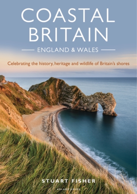
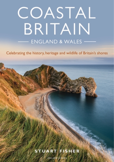
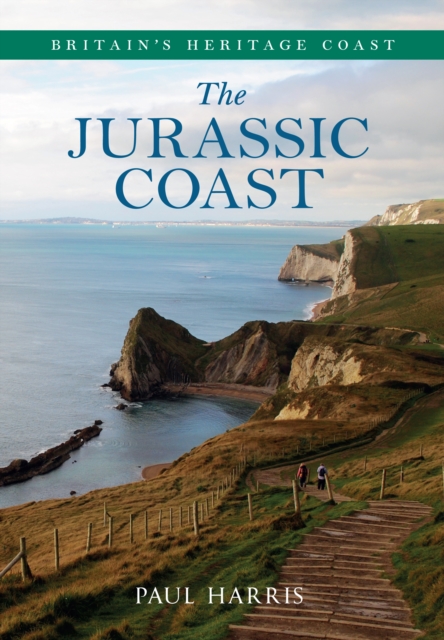
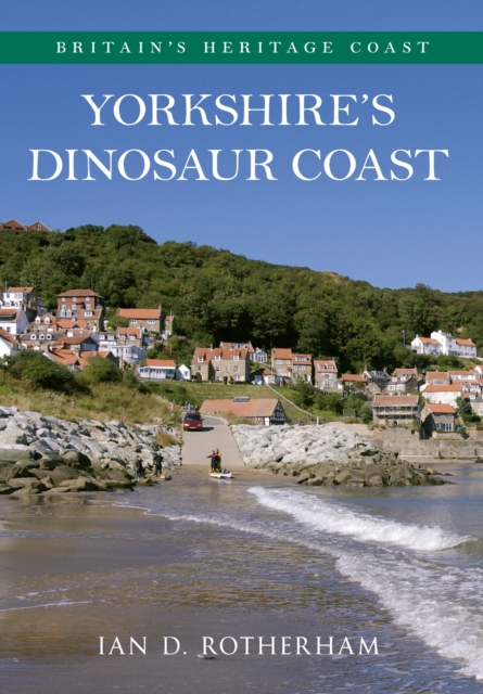
The Jurassic Coast, stretching from Exmouth to Studland on the South Coast, is England's first natural World Heritage Site, putting it on a par with such famous features as the Grand Canyon.
Coastal-Marine Conservation: Science and Policy introduces students and managers to complex conservation and management issues facing coastal nations of the world, their citizens, and international and non-governmental organizations.
Global Coastal Changeprovides a comprehensive overview of the environmental factors changing the marine systems of the world including atmospheric changes, sea level rise, alterations in freshwater and sediment use and transport, toxins, overfishing, alien species, and eutrophication.
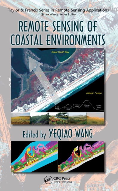
As coastal environments around the world face unprecedented natural and anthropogenic threats, advancements in the technologies that support geospatial data acquisition, imaging, and computing have profoundly enhanced monitoring capabilities in coastal studies.
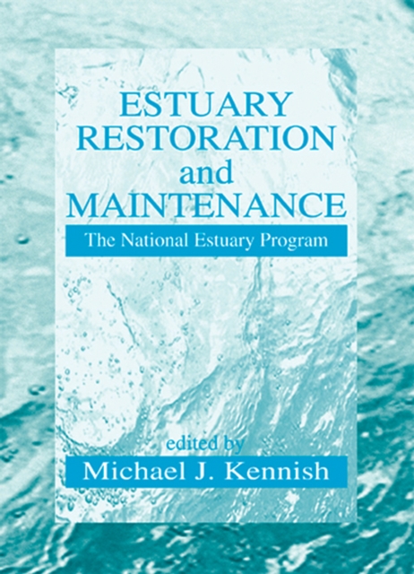
This timely volume examines the work of the National Estuary Program, the prominent federally-funded initiative dealing with pollution and other anthropogenic impacts on estuarine ecosystems and the management plans necessary to ensure that these invaluable natural treasures remain healthy and productive for future generations.
Estuaries in every country exemplify the same paradox- they are among the most productive ecosystems and also among the most impacted by anthropogenic activities.
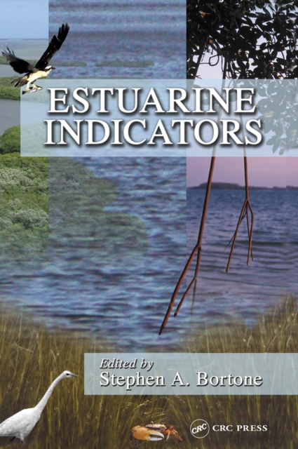
Acknowledging the present inability to determine objectively the status and trends among estuarine ecosystems, the environmental research community has recently stepped up efforts to develop and evaluate meaningful estuarine indicators.
Increasingly used to analyze and manage marine and coastal zones, Geographical Information Systems (GIS) provide a powerful set of tools for integrating and processing spatial information.