A world expert on how trees chemically affect our environment, Diana Beresford-Kroeger has woven together ecology, ancient myth, horticulture, spirituality, science and alternative medicine in The Global Forest to capture their enormous significance to us - and our future.
El titulo de este libro insiste en la necesidad, no exenta de dificultades metodologicas, de dotarse de nuevas maneras de disenar y aplicar las politicas territoriales.
El arte rupestre del arco del Mediterraneo supone, sin duda, un gran potencial como valor turistico tanto por su riqueza como por la variedad de los conjuntos documentados.
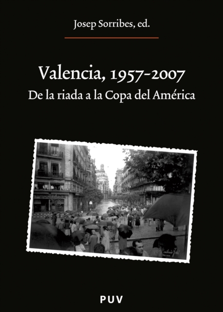
Con motivo de la conmemoración del cincuenta aniversario de la riada de 1957, el MuVIM organizó unas jornadas que analizaron los procesos de la transformación que experimentó València en los cincuenta años posteriores.
Este Cuaderno encierra un particular "viaje a Tierra Santa" con un guía de excepción, Olivier Artus, profesor de Sagrada Escritura en el Instituto Católico de Paris y miembro de la Pontificia Comisión Bíblica.
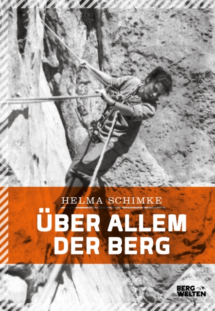
Ein Leben für die BergeHelma Schimke, Alpinistin, Architektin und Mutter dreier Kinder, erzählt in »Über allem der Berg« von aufsehenerregenden Touren und spannenden Anekdoten ihrer Erlebnisse am Berg aus den Pioniertagen des Alpinismus.
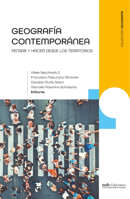
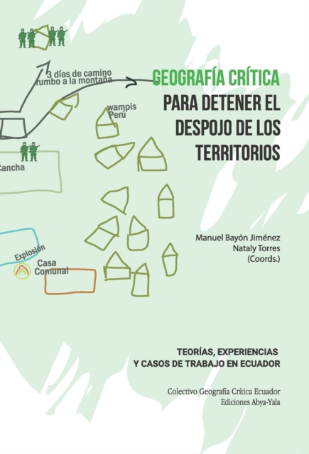
La praxis de la geografía contemporánea nos sitúa ante la producción disciplinar en cuanto a sus elementos teóricos y prácticos, que se relacionan directamente con las personas que los producen, respondiendo a la óptica de quienes vienen desarrollando el conocimiento de la disciplina.
La praxis de la geografía contemporánea nos sitúa ante la producción disciplinar en cuanto a sus elementos teóricos y prácticos, que se relacionan directamente con las personas que los producen, respondiendo a la óptica de quienes vienen desarrollando el conocimiento de la disciplina.
El Colectivo de Geografia Critica del Ecuador recupera la mejor tradicion del pensamiento critico revolucionario que, sabemos, surgio en las calles, en las luchas sociales y no en la academia.
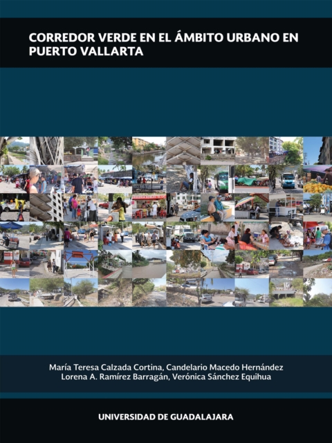
Para responder a las dinámicas de la vida contemporánea, es de suma importancia la mejora en la calidad de vida de los habitantes en su cotidianidad, a través de la generación de espacios dentro de la ciudad y que en la medida de lo posible propicien su desarrollo social e integral.
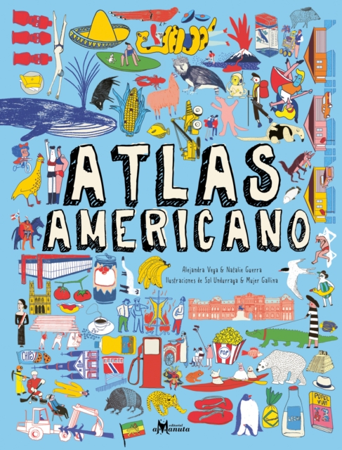
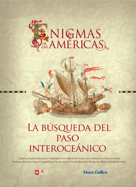
Este atlas ilustrado presenta todos los países del continente americano, con información recopilada por dos historiadoras chilenas y complementada por ciudadanos de los distintos países, buscando dar una mirada más completa de la identidad de cada país.
Taylor develops a geohistorical argument which focuses on the periods and places of modernities, offering a grounded analysis of what it is to be modern.
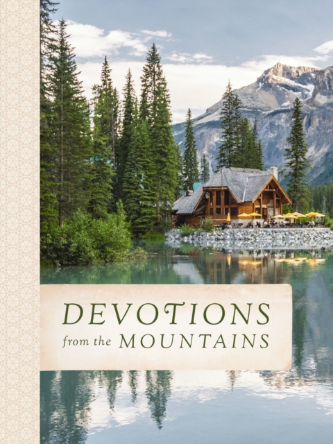
Experience the majesty and splendor of the mountains and grow in your faith with mountain-focused devotions and awe-inspiring photography of lofty peaks and vistas.
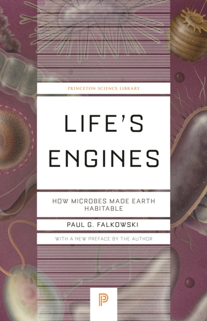
The marvelous microbes that made life on Earth possible and support our very existenceFor almost four billion years, microbes had the primordial oceans all to themselves.
A nonpartisan plan of action for fixing the global economy from fifteen of the world's leading economistsIn the fall of 2008, fifteen of the world's leading economists-representing the broadest spectrum of economic opinion-gathered at New Hampshire's Squam Lake.
Esta obra está diseñada para facilitar el proceso de enseñanza aprendizaje, de docentes estudiantes y profesionales de la topografía y ciencias afines; de tal manera que puede ser utilizado como texto guía de clase o en el desarrollo de proyectos topográficos.
La reformulación de los conceptos de patrimonio –que se ha ampliado notablemente– o de paisaje –que incluye la percepción de la población– despierta un notable interés, especialmente cuando estos se vinculan al desarrollo territorial.
Natur pur – Einblicke in das Leben im und mit dem MoorDas Moor: schmatzende, nasse Sumpflandschaften, wo Vögel nisten, Schilfpflanzen, Torfmoose und Gräser wachsen.
La geomática involucra varias ciencias de la tierra, es decir, ciencias que manejan datos geográficos georreferenciados, los cuales son necesarios tanto en los campos académico y profesional como en el campo laboral, donde se desarrollan aplicaciones de diversa índole.
Im neuen SPIEGEL-Wissenstest geht es um Geografie: Wir laden Sie ein auf eine Reise um die Welt in 150 Fragen – mit exklusiven Interviews mit Linda Zervakis und Boris Herrmann.
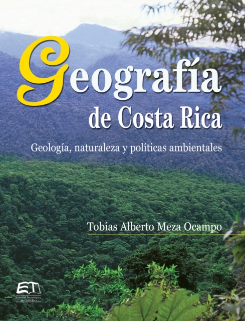
La presente investigación surgió como una necesidad de llenar un vacío existente en el campo de la geografía de nuestro país, ya que no se podía localizar un texto que sintetizara los aspectos más relevantes que se habían publicado en relación con la historia geológica de Costa Rica, así como las migraciones de especies de flora y fauna, las que habían utilizado como vía de tránsito el territorio ístmico de América Central, facilitando la dispersión de esas especies tanto por Norte como por Sur América.
'This complex, compelling tale is told with simplicity and grace' - The TimesA story of courage and adventure, set against the backdrop of the race to exploit Africa by the colonial powers.
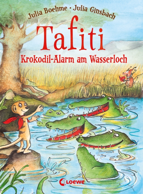
Für Tafiti und seine Freund*innen werden die Wasservorräte knapp: Keiner traut sich mehr ans Wasserloch, seit sich Krokodile dort niedergelassen haben.
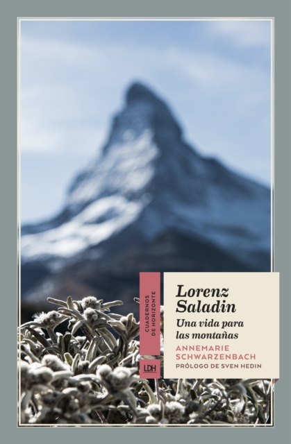
No es extraño encontrar en la corta vida de este alpinista, fotógrafo y viajero suizo, los elementos románticos que abrazó en vida Annemarie Schwarzenbach.
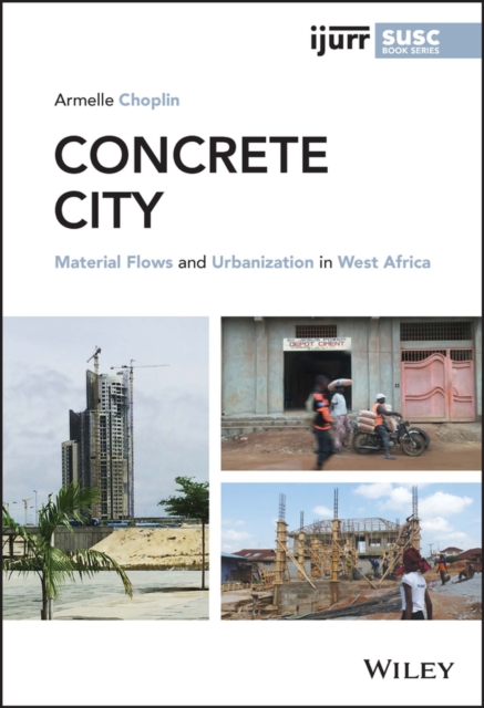
CONCRETE CITY Armelle Choplin s Concrete City weaves a novel and engaging analysis of urbanization by tracing the journeys of cement and people making urban life in West Africa.
CONCRETE CITY Armelle Choplin s Concrete City weaves a novel and engaging analysis of urbanization by tracing the journeys of cement and people making urban life in West Africa.
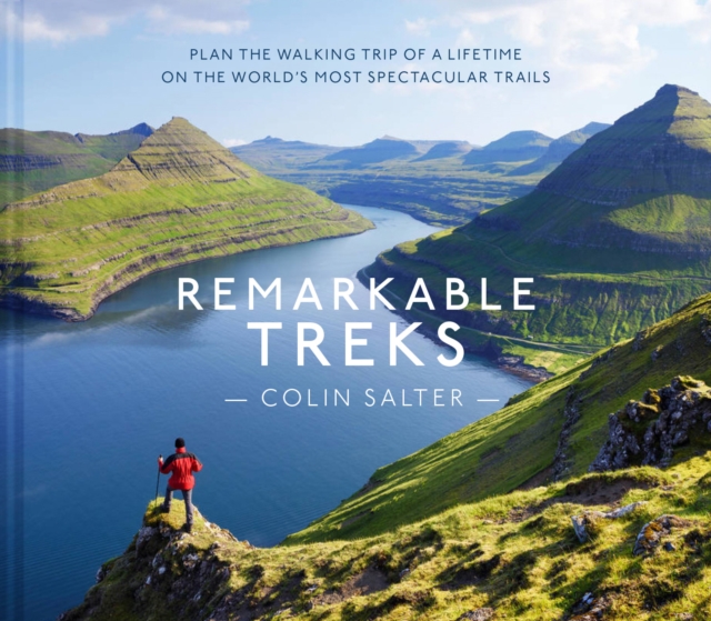
Remarkable Treks is a compendium of exhilarating long-distance walks from around the planet - some lasting weeks, some lasting just a few days, but all of them set against spectacular backdrops.
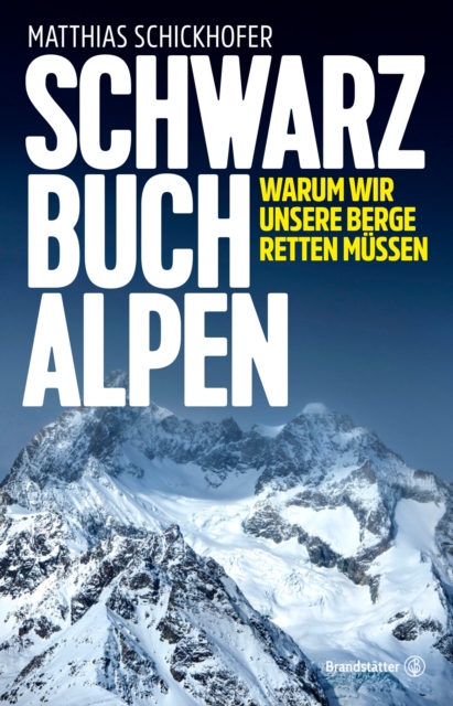
Nomniert für das WISSENSBUCH DES JAHRES von Bild der WissenschaftDie Natur ist unsere Lebensversicherung; sie versorgt uns mit Luft, Wasser, Rohstoffen und Erholung.
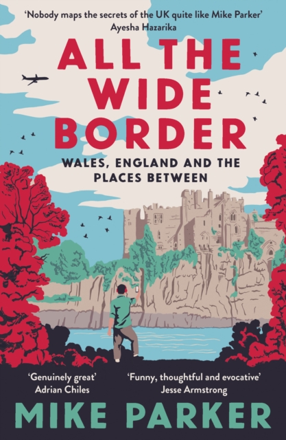
A Waterstones Travel Book of the Year 2023A funny, warm and timely meditation on identity and belonging, following the scenic route along the England-Wales border: Britain's deepest faultline.
Motiva la presente publicacion reflexionar acerca de la ciudad como escena de la vida y de las vivencias en dialogo con la novela, pero tambien la ciudad como espacio para su ensenanza y aprendizaje.
THE INTERNATIONAL BESTSELLERA TIMES BEST MEMOIR OF 2023'Grippingly vivid and pacey' THE TIMES'A seven-year old girl on a seventy-foot yacht, for ten years, over fifty thousand miles of sailing' SIMON WINCHESTER'An astonishing almost day-by-day account of [a] hazardous journey and its legacy' TELEGRAPH'This is a story of an epic childhood journey, so exciting and so shocking it is hard to know whether you're reading about a dream or a nightmare.