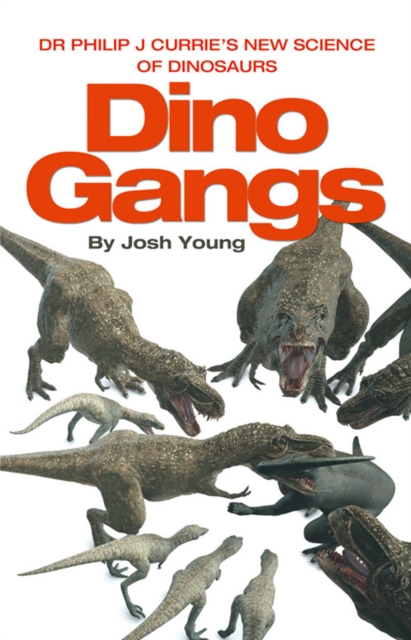
With his groundbreaking findings and extensive research, palaeontologist and dino hunter Dr Phil Currie challenges the very foundations of traditional dinosaur theories.
In his bestselling book 1421:The Year China Discovered the World, Gavin Menzies revealed that it was the Chinese that discovered America, not Columbus.
Nathaniel Philbrick, bestselling author of 'In the Heart of the Sea', reveals the darker side of the Pilgrim fathers' settlement in the New World, which ultimately erupted in bloody battle some fifty years after they first landed on American soil.
Part historical narrative, part travelogue through the wilds of the West and part environmental polemic, 'Selling Your Father's Bones' is a thrilling journey through the history and wilderness of the stunning area of landscape that is Continental USA.
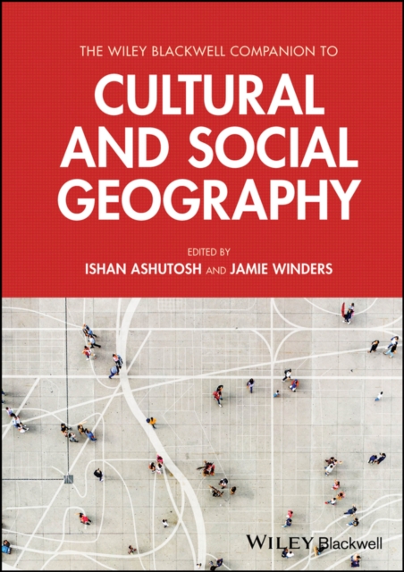
Addresses both social and cultural geography in a single volume, authored and edited by leading authorities in the fields The Companion to Social and Cultural Geography provides reliable and up-to-date coverage of both foundational topics and emerging themes within two vibrant and increasingly interconnected subdisciplines of geography.
Introduce students to the diversity embraced by the discipline of biogeography, revised and updated throughout Biogeography: Space, Time and Life provides a comprehensive introduction to the study of large-scale geographic distributions of life, focusing on ecology, evolution, physical geography and conservation.
'A bold, ambitious and truly wonderful history of the world' Peter Wohlleben, author of The Hidden Life of Trees'A fascinating story and a crucial revision of the momentous importance of tropical forests to human history' Lewis Dartnell, author of Origins_________________________ Jungle tells the remarkable story of the world's tropical forests, from the arrival of the first plants millions of years ago to the role of tropical forests in the evolution of the world's atmosphere, the dinosaurs, the first mammals and even our own species and ancestors.
WINNER OF THE TELEGRAPH BEST SPORTS WRITING AWARD 2021SHORTLISTED FOR THE COSTA BIOGRAPHY AWARD 2021'One of the best books ever written about the early attempts to conquer Everest.
The essential account of geopolitics right now, from one of our greatest living intellectuals - including a new afterword on President Donald Trump Noam Chomsky: philosopher, political writer, fearless activist.
Inspired by hopes of both riches and of converting native people to Christianity, the Spanish adventurers of the fifteenth century convinced themselves that an earthly paradise existed in the Caribbean.
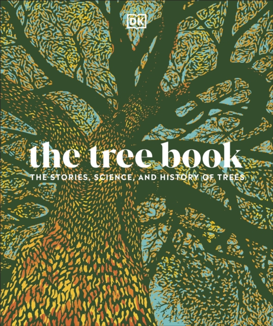
Bring trees to life like you've never seen before as The Tree Book invites you on an enchanting and illustrated journey into the astonishingly diverse growth of woodland wildlife in the world around us.
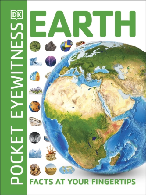
Become an Earth expert and find out all you need to know about our planet - from the tallest mountain to the deepest ocean trenches - in this brilliant mini ebook.
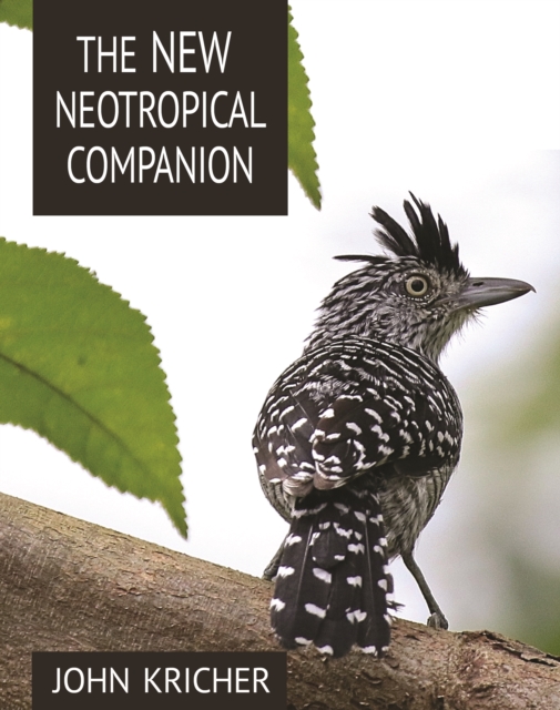
The acclaimed guide to the ecology and natural history of the American tropics-now fully updated and expandedThe New Neotropical Companion is the completely revised and expanded edition of a book that has helped thousands of people to understand the complex ecology and natural history of the most species-rich area on Earth, the American tropics.
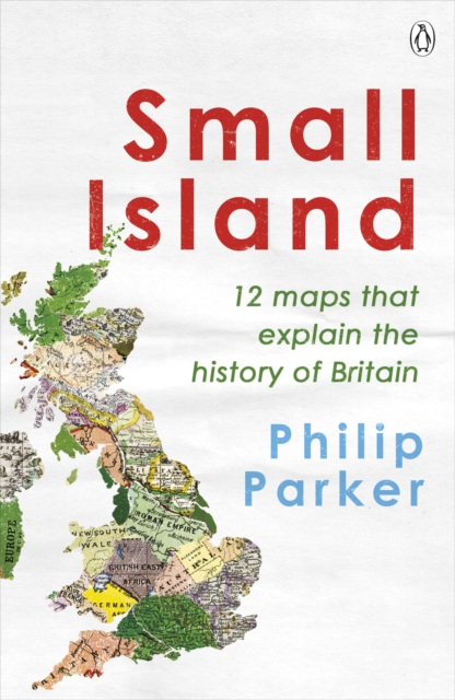
Discover the 12 crucial moments in Britain's past that will answer the greatest questions for our future in this richly insightful and fascinating history'A richly entertaining canter through the country's past.
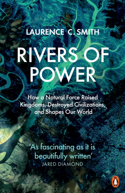
'As fascinating as it is beautifully written' JARED DIAMOND, Pulitzer Prize-winning author of Guns, Germs and SteelRivers, more than any road, technology or political event, have shaped the course of civilization.
The definitive illustrated guide to modern British architecture, from one of the most acclaimed critics at work todayModernism is now a century old, and its consequences are all around us, built into our everyday lived environments.
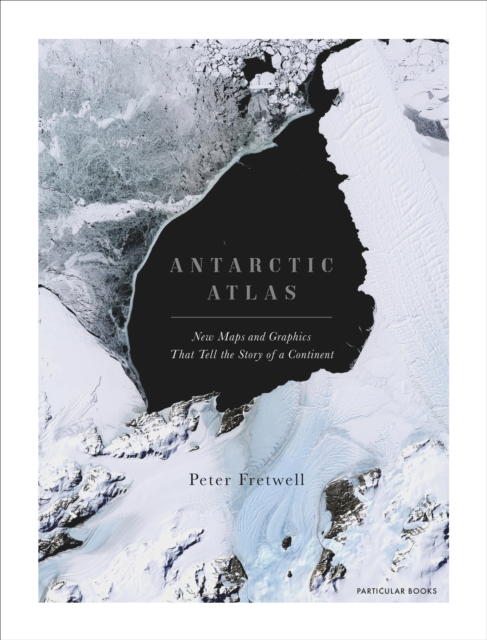
A FINANCIAL TIMES BOOK OF THE YEAR 2020SHORTLISTED FOR THE ESTWA AWARD FOR ILLUSTRATED TRAVEL BOOK OF THE YEAR 2022One of the least-known places on the planet, the only continent on earth with no indigenous population, Antarctica is a world apart.
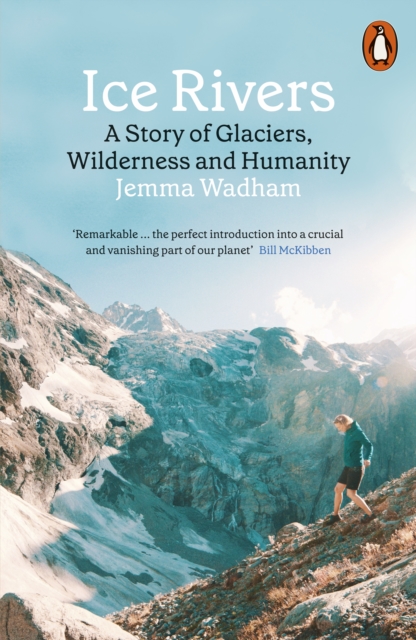
Longlisted for the Wainwright PrizeShortlisted for the Richard Jeffries AwardThe story of one woman's passion for glaciersAs one of the world's leading glaciologists, Professor Jemma Wadham has devoted her career to the glaciers that cover one-tenth of the Earth's land surface.