This volume documents the techniques for geochemical remote sensing of the subsurface, to present case-history evidence of their successes and limitations, and to consider their further potential.
Sophisticated interactive maps are increasingly used to explore information - guiding us through data landscapes to provide information and prompt insight and understanding.
Theoretical and Applied Solutions in Multi Scale MappingUsers have come to expect instant access to up-to-date geographical information, with global coverage--presented at widely varying levels of detail, as digital and paper products; customisable data that can readily combined with other geographic information.
This highly illustrated student guide introduces the skills of interpreting a geological map and relating it to the morphology of the most important types of geological structure.
In the age of adventure, when dirigibles coasted through the air and vast swaths of the Earth remained untouched and unseen by man, one pack of relentless explorers competed in the race of a lifetime: to be the first aviator to fly over the North Pole.
Wave Fields in Real Media examines the differences between an ideal and a real description of wave propagation, where ideal means an elastic (lossless), isotropic and single-phase medium, and real means an anelastic, anisotropic and multi-phase medium.
The book compiles the main ideas and methodologies that have been proposed and tested within these last fifteen years in the field of Digital Soil Mapping (DSM).
By 1883 when the rail lines of the Northern Pacific reached the tiny town of Cinnabar, Montana Territory, newspaper and magazine stories of the wonders to be found in Yellowstone National Park had been firing the imaginations of eager potential visitors around the world for a decade.
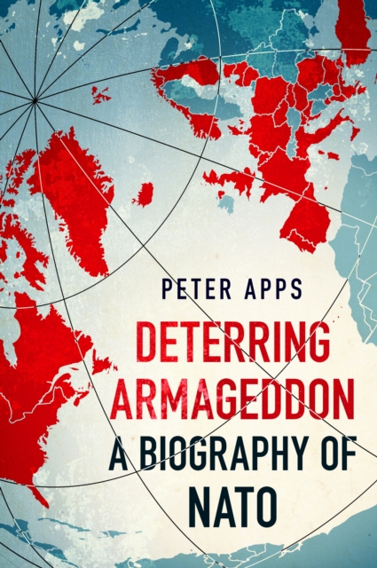
'EXCELLENT' - THE TLS'HUGELY IMPRESSIVE' - THE INDEPENDENT'AN ASTONISHINGLY FINE HISTORY' - COUNTRY LIFE'FASCINATING' - DAILY MAILThe history of the world's most successful military alliance, from the wrecked Europe of 1945 to Vladimir Putin's invasion of Ukraine.