This self-contained monograph gives a thorough introduction to the theory of gravity which is used as the basis for developing applications in exploration and geodesy.
Damage assessment, rehabilitation, decision-making, social consequences, repair and reconstruction; these are all critical factors for considerations following natural disasters such as earthquakes.
GOOS is an international programme for a permanent global framework of observations, modelling and analysis of ocean variables which are needed to support operational services around the world.
This second edition retains the general structure of the first edition, buthas been updated in the light of recent oceanographic research, and improvedas a teaching text on the basis of feedback from past students and otherreaders.
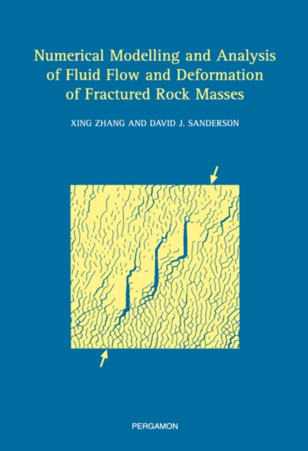
Our understanding of the subsurface system of the earth is becoming increasingly more sophisticated both at the level of the behaviour of its components (solid, liquid and gas) as well as their variations in space and time.
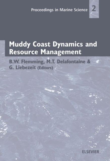
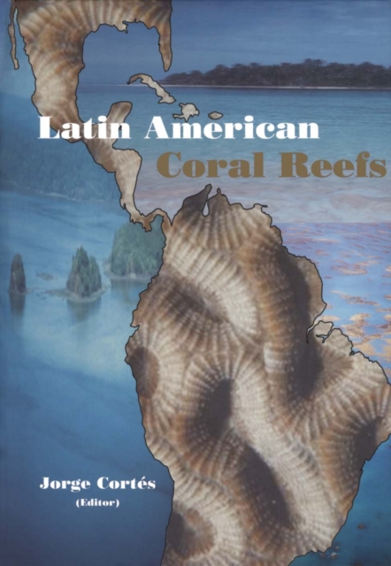
Muddy coasts are land-sea transitional environments commonly found along low-energy shorelines which either receive large annual supplies of muddy sediments, or where unconsolidated muddy deposits are being eroded by wave action.
Godunov-type schemes appear as good candidates for the next generation of commercial modelling software packages, the capability of which to handle discontinuous solution will be a basic requirement.
Many Neogene hydrothermal ore deposits have been formed on and near the Japanese islands from the middle Miocene to the present day and today many subaerial and submarine active geothermal systems are active.
This book was primarily written for an audience that has heard about neural networks or has had some experience with the algorithms, but would like to gain a deeper understanding of the fundamental material.
The purpose of Applied Geothermics for Petroleum Engineers is to present in a clear and concise form methods of utilizing the data of temperature surveys in deep boreholes as well as the results of field, laboratory and analytical investigations in geothermics to a wide audience.
The critically acclaimed serialized review journal for nearly fifty years, Advances in Geophysics is a highly respected publication in the field of geophysics.
Sea Level Rise, History and Consequences includes a special emphasis on the evidence for historical sea level change; case studies are used to demonstrate the resulting consequences.
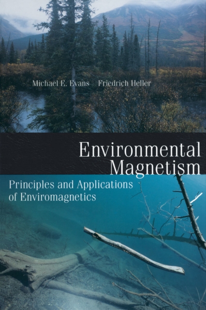
Magnetism is important in environmental studies for several reasons, the two most fundamental being that most substances exhibit some form of magnetic behavior, and that iron is one of the most common elements in the Earth's crust.
The critically acclaimed serialized review journal for nearly fifty years, Advances in Geophysics is a highly respected publication in the field of geophysics.