This book provides an overview and up-to-date synthesis of the most commonly used non-destructive technologies for the reverse engineering of built infrastructure facilities.
Specifically written for contractors and small businesses carrying out small works, Spon's Estimating Cost Guide to Roofing contains accurate information on thousands of rates, each broken down to labour, material overheads and profit.
Following in the tradition of its popular predecessor, the Manual of Geospatial Science and Technology, Second Edition continues to be the authoritative volume that covers all aspects of the field, both basic and applied, and includes a focus on initiating, planning, and managing GIS projects.
This book gives comprehensive introduction to the fundamentals, methods and applications of GNSS-Reflectometry (GNSS-R), including GNSS-R history, GNSS reflection signal characteristics, ground-based GNSS multipath reflectometry, interference pattern technology, delay Doppler map, space-based GNSS-R theory, ocean altimetry, hydrological remote sensing, vegetation monitoring and cryosphere remote sensing, etc.
This book gives comprehensive introduction to the fundamentals, methods and applications of GNSS-Reflectometry (GNSS-R), including GNSS-R history, GNSS reflection signal characteristics, ground-based GNSS multipath reflectometry, interference pattern technology, delay Doppler map, space-based GNSS-R theory, ocean altimetry, hydrological remote sensing, vegetation monitoring and cryosphere remote sensing, etc.
ICE Handbook of Ground Investigation is a comprehensive practical guide, presented in two volumes, that covers the range of techniques used in conducting thorough and effective ground investigations.
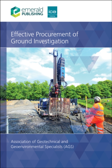
Effective Procurement of Ground Investigation is a client's best practice guide to procuring good quality ground investigations which will ensure that ground related and other risks are suitably and sufficiently assessed and that the required data is obtained to meet the project objectives.
Find Practical Solutions to Civil Engineering Design and Cost Management ProblemsA guide to successfully designing, estimating, and scheduling a civil engineering project, Integrated Design and Cost Management for Civil Engineers shows how practicing professionals can design fit-for-use solutions within established time frames and reliable budgets.
The increase in private property value, growth of underground and multilevel development, and the emergence of 3D technologies in planning and GIS drives the need to record 3D situations in cadastral registration.
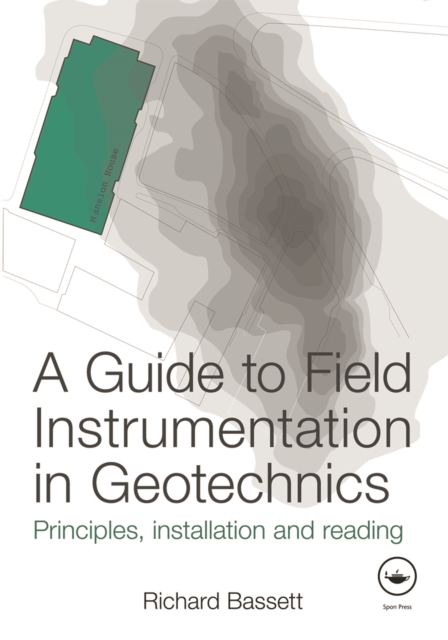
Geotechnical instrumentation is used for installation, monitoring and assessment on any sizeable project, particularly in urban areas, and is used for recording, controlled remedial work, and safety.
Building information modelling (BIM) uses a combination of technologies and resources to capture, manage, analyse, and display a digital representation of the physical and functional characteristics of a facility.
Now in its 44th edition, Spon's External Works and Landscape Price Book 2025 offers the only comprehensive source of information for detailed external works and landscape costs.
Compiled by AECOM, the 2026 edition has been updated with the latest pricing information to help you manage your projects over the next 12 months through this challenging period of inflationary pressure, global uncertainty and skills shortages.
Plane and Geodetic Surveying blends together theory and practice, conventional techniques and satellite-based methods, to provide the ideal book for students of surveying.
This volume gathers the latest advances, innovations, and applications in the field of GIS and geo-spatial technologies, as presented by leading researchers and engineers at the International Conference on Geoinformatics for Spatial-Infrastructure Development in Earth & Allied Sciences (GIS-IDEA), held in Hanoi, Vietnam on November 7-9 2023.
This volume gathers the latest advances, innovations, and applications in the field of GIS and geo-spatial technologies, as presented by leading researchers and engineers at the International Conference on Geoinformatics for Spatial-Infrastructure Development in Earth & Allied Sciences (GIS-IDEA), held in Hanoi, Vietnam on November 7-9 2023.
Building information modelling (BIM) uses a combination of technologies and resources to capture, manage, analyse, and display a digital representation of the physical and functional characteristics of a facility.
Intelligent Buildings and Infrastructure with Sustainable and Social Values, Third edition is a comprehensive guide and an international reference source to the latest knowledge on the design, management, operation and technology of intelligent buildings and cities for sustainable developments that meet the needs of users now and in the future.
Light detection and ranging, or LiDAR, is an advanced active remote sensing technology developed in the last 30 years to measure variable distances to the Earth.
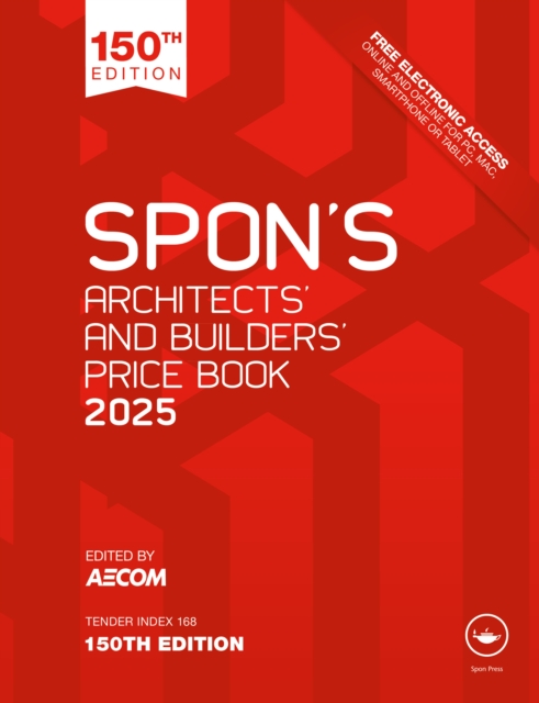
Compiled by AECOM, the 2025 edition has been updated with the latest pricing information to help you manage your projects over the next 12 months through this challenging period of higher inflation and labour shortages.
In a time without GPS and echosounder, European engineers and black labourers worked for decades to get a better understanding of the nautical intricacies of the Congo River.
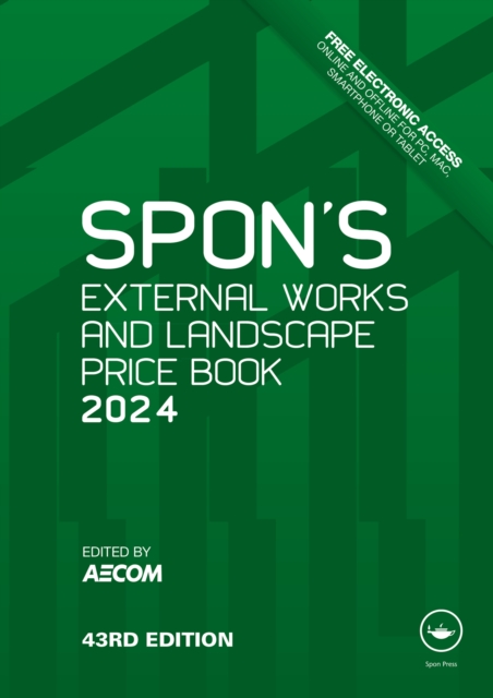
Compiled by AECOM, the 2024 edition has been updated with the latest pricing information to help you manage your projects over the next 12 months through this challenging period of high inflation and financial uncertainty.
Als Standardwerk beschreibt das Große Handbuch der Gleisinstandhaltung in anschaulicher und komprimierter Form alle Aspekte der Gleisinstandhaltung in Theorie und Praxis.
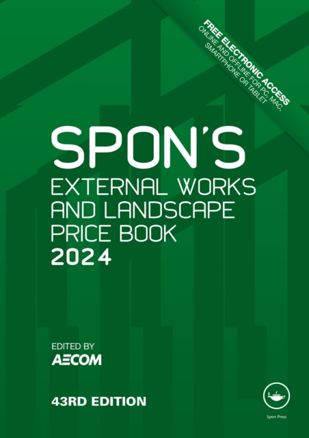
Compiled by AECOM, the 2024 edition has been updated with the latest pricing information to help you manage your projects over the next 12 months through this challenging period of high inflation and financial uncertainty.
In a time without GPS and echosounder, European engineers and black labourers worked for decades to get a better understanding of the nautical intricacies of the Congo River.
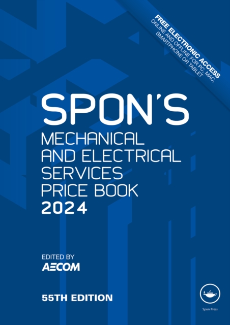
Compiled by AECOM, the 2024 edition has been updated with the latest pricing information to help you manage your projects over the next 12 months through this challenging period of high inflation and financial uncertainty.
Compiled by AECOM, the 2024 edition has been updated with the latest pricing information to help you manage your projects over the next 12 months through this challenging period of high inflation and financial uncertainty.
The Residential Pathway - APC Essentials was written to facilitate and encourage candidates preparing for the RICS Assessment of Professional Competence (APC) to become Chartered Surveyors.
Compiled by AECOM, the 2024 edition has been updated with the latest pricing information to help you manage your projects over the next 12 months through this challenging period of high inflation and financial uncertainty.
Compiled by AECOM, the 2024 edition has been updated with the latest pricing information to help you manage your projects over the next 12 months through this challenging period of high inflation and financial uncertainty.
Die Fähigkeit, räumlich verteilte Daten zu analysieren und die darunterliegenden Prozesse und Strukturen zu verstehen und zu modellieren, ist in vielen Anwendungen der Geowissenschaften und des Geoingenieurwesens maßgebende Grundlage für weiterführende Arbeiten in der Erkenntnisgewinnung oder Planung/Projektierung.
Die Fähigkeit, räumlich verteilte Daten zu analysieren und die darunterliegenden Prozesse und Strukturen zu verstehen und zu modellieren, ist in vielen Anwendungen der Geowissenschaften und des Geoingenieurwesens maßgebende Grundlage für weiterführende Arbeiten in der Erkenntnisgewinnung oder Planung/Projektierung.
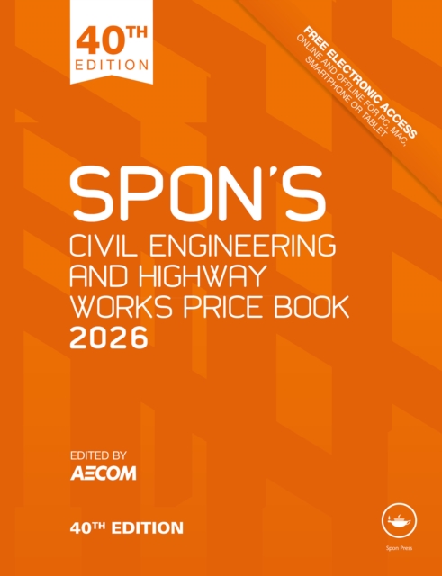
Compiled by AECOM, the Spon's Civil Engineering and Highway Works Price Book 2026 is the milestone 40th edition and has been updated with the latest pricing information to help you manage your projects over the next 12 months through this challenging period of inflationary pressure, global uncertainty and skills shortages.
This volume gathers the latest advances, innovations, and applications in the field of geographic information systems and unmanned aerial vehicle (UAV) technologies, as presented by leading researchers and engineers at the 2nd International Conference on Unmanned Aerial System in Geomatics (UASG), held in Roorkee, India on April 2-4, 2021.
Project Design for Geomatics Engineers and Surveyors, Second Edition, continues to focus on the key components and aspects of project design for geomatics and land surveying projects with the goal of helping readers navigate the priority issues when planning new projects.
Project Design for Geomatics Engineers and Surveyors, Second Edition, continues to focus on the key components and aspects of project design for geomatics and land surveying projects with the goal of helping readers navigate the priority issues when planning new projects.
This volume gathers the latest advances, innovations, and applications in the field of geographic information systems and unmanned aerial vehicle (UAV) technologies, as presented by leading researchers and engineers at the 1st International Conference on Unmanned Aerial System in Geomatics (UASG), held in Roorkee, India on April 6-7, 2019.
This book reviews and summarizes the development and achievement in cartography and geographic information engineering in China over the past 60 years after the founding of the People's Republic of China.
This book focuses on the generalization of map features, providing descriptions and classifying groups of map objects into six categories: point clusters, groups of contours, road networks, river networks, continuous areal features and discrete areal features.
This volume gathers the latest advances, innovations, and applications in the field of geographic information systems and unmanned aerial vehicle (UAV) technologies, as presented by leading researchers and engineers at the 2nd International Conference on Unmanned Aerial System in Geomatics (UASG), held in Roorkee, India on April 2-4, 2021.
The definitive guide to photogrammetry--fully updatedThoroughly revised to cover the latest technological advances in the field, Elements of Photogrammetry with Applications in GIS, Fourth Edition, provides complete details on the foundational principles of photogrammetry as well as important advanced concepts.
Underground Sensing: Monitoring and Hazard Detection for Environment and Infrastructure brings the target audience the technical and practical knowledge of existing technologies of subsurface sensing and monitoring based on a classification of their functionality.