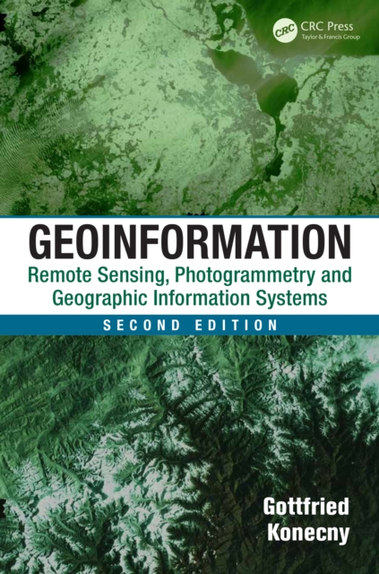
Written by a renowned expert, Geoinformation: Remote Sensing, Photogrammetry and Geographic Information Systems, Second Edition gives you an overarching view of how remote sensing, photogrammetry, and geographic information systems work together in an interdisciplinary manner.
Reeds Marine Surveying is aimed at students of marine surveying, professional marine surveyors, boatyard operators and technically-minded boat owners, and covers the latest marine surveying technology, including analysis of the mechanical behaviour of materials, failure analysis, stress concentration, fatigue and fracture, corrosion, wood-damaging organisms, polymer chemistry, and the composition and characteristics of common plastics, metal, alloys and composite materials.
Reeds Marine Surveying is aimed at students of marine surveying, professional marine surveyors, boatyard operators and technically-minded boat owners, and covers the latest marine surveying technology, including analysis of the mechanical behaviour of materials, failure analysis, stress concentration, fatigue and fracture, corrosion, wood-damaging organisms, polymer chemistry, and the composition and characteristics of common plastics, metal, alloys and composite materials.
Compiled by AECOM, the 2024 edition has been updated with the latest pricing information to help you manage your projects over the next 12 months through this challenging period of high inflation and financial uncertainty.
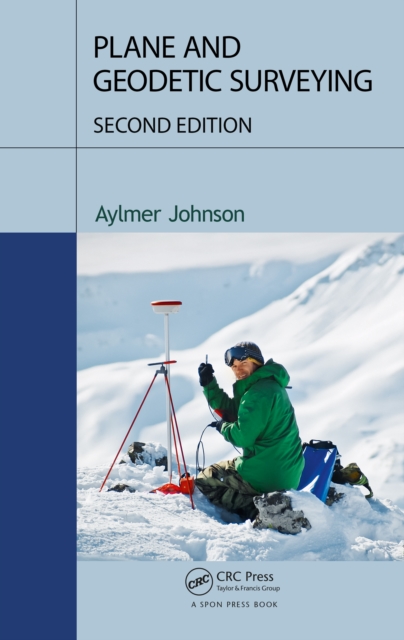
Plane and Geodetic Surveying blends together theory and practice, conventional techniques and satellite-based methods, to provide the ideal book for students of surveying.
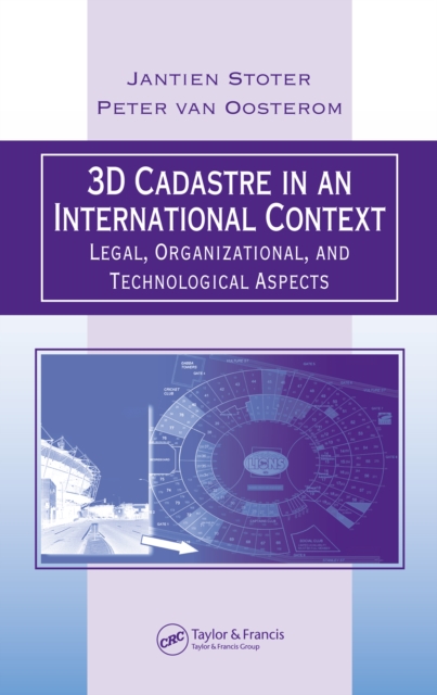
The increase in private property value, growth of underground and multilevel development, and the emergence of 3D technologies in planning and GIS drives the need to record 3D situations in cadastral registration.
The Estimator's Pocket Book, Third Edition is a concise and practical reference cover-ing the main approaches to pricing, as well as useful information such as how to process sub-contractor quotations, tender settlement and adjudication.
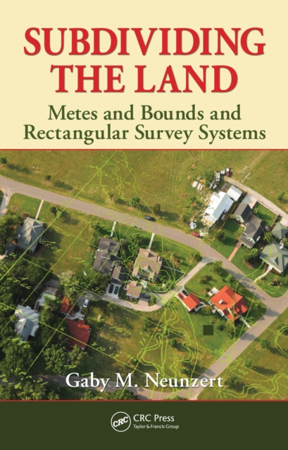
The survey and the transference are the distinctive and operative acts in the transmission of real property and, where they differ from each other, one must of necessity control the other.
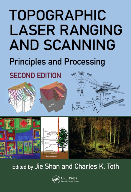
Topographic Laser Ranging and Scanning, Second Edition, provides a comprehensive discussion of topographic LiDAR principles, systems, data acquisition, and data processing techniques.
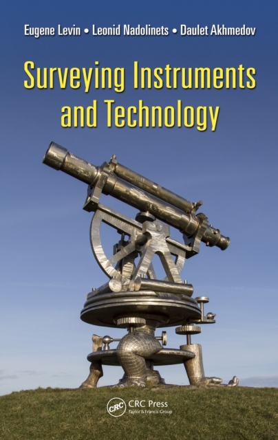
With the advent of GPS/GNSS satellite navigation systems and Unmanned Aerial Systems (UAS) surveying profession is nowadays facing its transformative stage.
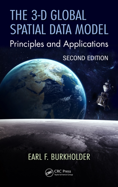
Traditional methods for handling spatial data are encumbered by the assumption of separate origins for horizontal and vertical measurements, but modern measurement systems operate in a 3-D spatial environment.
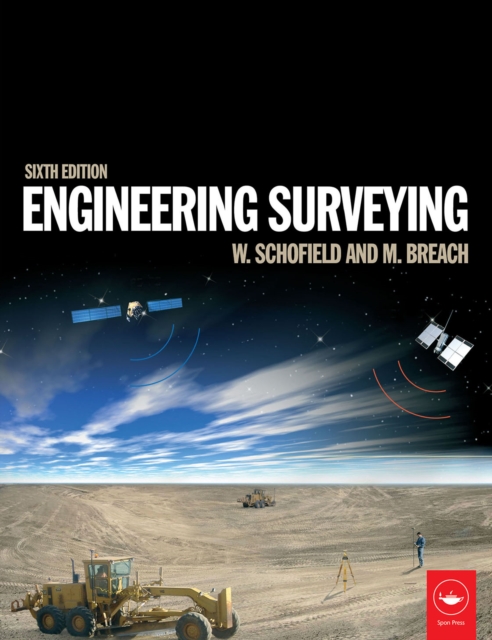
Engineering surveying involves determining the position of natural and man-made features on or beneath the Earth's surface and utilizing these features in the planning, design and construction of works.
Now in its 44th edition, Spon's External Works and Landscape Price Book 2025 offers the only comprehensive source of information for detailed external works and landscape costs.
Estimators need to understand the consequences of entering into a contract, often defined by complex conditions and documents, as well as to appreciate the technical requirements of the project.
Cost management of all building projects has become increasingly important as clients in the public and private sector demand the highest quality cost planning services with accurate budgeting and cost control.
Cost management of all building projects has become increasingly important as clients in the public and private sector demand the highest quality cost planning services with accurate budgeting and cost control.
Land is important to all aspects of human life and has a key role in the economic well-being of society therefore, land tenure, land ownership, and real property law is a critical part of any developed nation.
For all surveying courses in Construction Management, Construction Science, Construction Technology, Civil Engineering, Civil Engineering Technology, Survey Engineering, Resources Engineering and Technology programs.
For Surveying courses offered in Civil Engineering departments This highly readable, best-selling text presents basic concepts and practical material in each of the areas fundamental to modern surveying (geomatics) practice.
Compiled by AECOM, the 2026 edition has been updated with the latest pricing information to help you manage your projects over the next 12 months through this challenging period of inflationary pressure, global uncertainty and skills shortages.
Written for students taking courses in building and surveying, 'Estimating for Builders and Surveyors' describes and explains the method used by the estimator to build up prices or rates for items described in the SMM7 format.
Written for students taking courses in building and surveying, 'Estimating for Builders and Surveyors' describes and explains the method used by the estimator to build up prices or rates for items described in the SMM7 format.
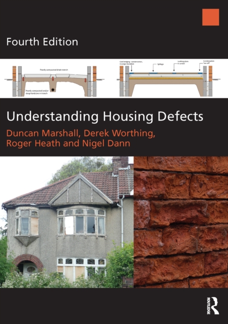
Understanding Housing Defects provides a concise, coherent and comprehensive introduction to the causes, investigation and diagnosis of defects in domestic buildings.
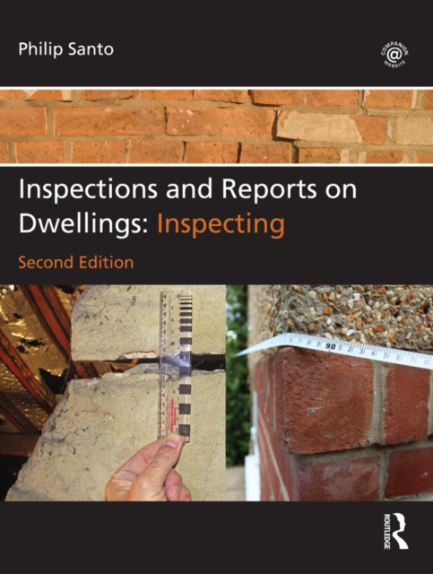
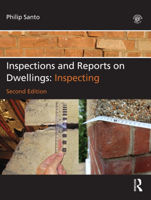
Inspections and Reports on Dwellings is a three-volume series that comprehensively explores the process of independent professional home assessment required for the purchase of residential property.
Inspections and Reports on Dwellings is a three-volume series that comprehensively explores the process of independent professional home assessment required for the purchase of residential property.
The Estimator's Pocket Book, Third Edition is a concise and practical reference cover-ing the main approaches to pricing, as well as useful information such as how to process sub-contractor quotations, tender settlement and adjudication.
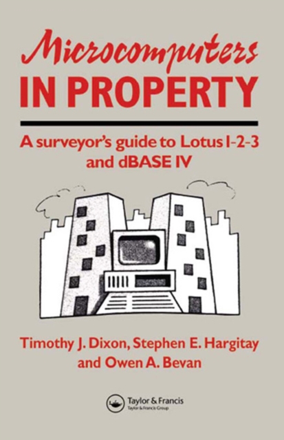
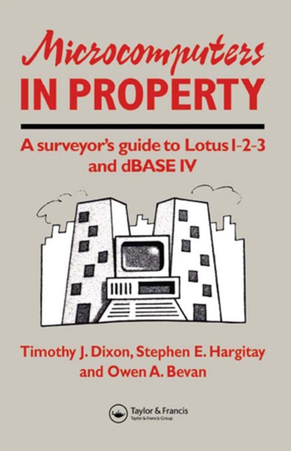
This handbook introduces surveyors to the use of microcomputers in the property industry using 'real-life' example applications with clear explanations, it will provide the surveyor with the knowledge and expertise to design spreadsheets and database management systems for use in a variety of general practice tasks from valuation to estate agency.
This handbook introduces surveyors to the use of microcomputers in the property industry using 'real-life' example applications with clear explanations, it will provide the surveyor with the knowledge and expertise to design spreadsheets and database management systems for use in a variety of general practice tasks from valuation to estate agency.
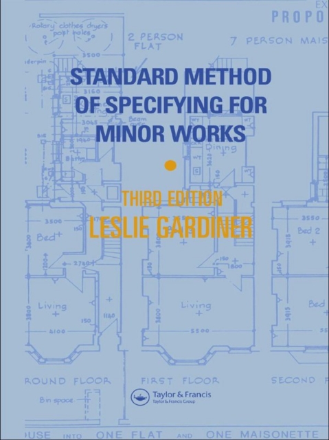
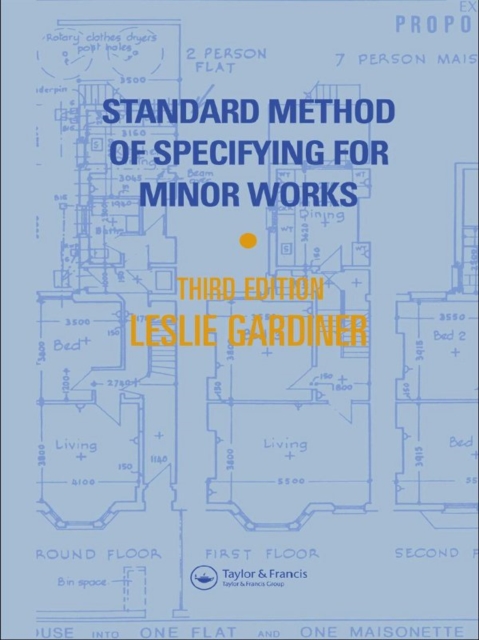
There is no widely recognized method for producing specifications of repair, improvement and conversion work, yet consistent documentation is fundamental to good client communications and consistent pricing.
There is no widely recognized method for producing specifications of repair, improvement and conversion work, yet consistent documentation is fundamental to good client communications and consistent pricing.
Residential Property Appraisal is a handbook not only for students studying surverying but also for surveyors and others involved in the appraisal of residential property for lending purposes.
Residential Property Appraisal is a handbook not only for students studying surverying but also for surveyors and others involved in the appraisal of residential property for lending purposes.