Seabreezes are the lifeblood of cruising and racing sailors - but they are a fickle resource and it's vital to be able to predict and read the situations when they will blow strongly, change direction (annoyingly) or vanish altogether.
Based on the author's Sailing an Atlantic Circuit, this practical, how-to guide to the planning, preparation and execution of a passage is both a helpful and an inspirational book for all sailors considering an offshore or ocean passage.
The Adlard Coles Book of Navigation is the perfect reference for anyone following an RYA navigation course, from Day Skipper through to Yachtmaster Offshore and for any seafarer requiring a knowledge of navigation.
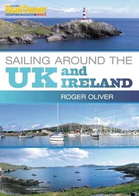
"e;The new circumnavigation bible"e; - Geoff Holt (the first disabled sailor to sail around Britain singlehandedly)A circumnavigation of the UK and Ireland is the perfect 'doorstep'challenge for sailors and motorboaters looking for an extended cruisewhich doesn't take them too far from family and responsibilities andallows them to keep in touch.
"e;The new circumnavigation bible"e; - Geoff Holt (the first disabled sailor to sail around Britain singlehandedly)A circumnavigation of the UK and Ireland is the perfect 'doorstep'challenge for sailors and motorboaters looking for an extended cruisewhich doesn't take them too far from family and responsibilities andallows them to keep in touch.
The Adlard Coles Book of Navigation is the perfect reference for anyone following an RYA navigation course, from Day Skipper through to Yachtmaster Offshore and for any seafarer requiring a knowledge of navigation.
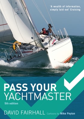
The Complete Yachtmaster has been a bestseller since first publication and has established itself as the standard reference for Yachtmaster studentsas well as skippers of all levels of experience.
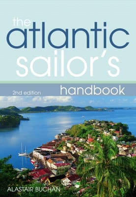
Based on the author's Sailing an Atlantic Circuit, this practical, how-to guide to the planning, preparation and execution of a passage is both a helpful and an inspirational book for all sailors considering an offshore or ocean passage.
This new book, based on a highly successful series of articles in Practical Boat Owner magazine, is a detailed practical guide to sailing around the UK - all by means of day sails.
This book aims to help yachtsmen and motorboaters pass the ICC test - essential for anyone wanting to take their boat to the inland waterways of Europe and to many European coastal waters too.
The 12th edition of this bestselling textbook is proof of the success of Mary Blewitt's concise and clear style in explaining a particularly difficult skill, and it has been the bible for many generations of ocean navigators.
An unparalleled illustrated history of spherical trigonometry from antiquity to todayHeavenly Mathematics traces the rich history of spherical trigonometry, revealing how the cultures of classical Greece, medieval Islam, and the modern West used this forgotten art to chart the heavens and the Earth.
The Reeds Eastern Almanac is the complete guide for North Sea mariners, offering ready access to essential navigation information by virtue of its clear layout and user friendly format, covering the UK east coast from Ramsgate to Cape Wrath including the Shetland and Orkney Islands, and from Niewport to Delfzjil and Helgoland.
The Reeds Western Almanac covers the coastline from Cape Wrath to Padstow as well as the whole of Ireland, and is ideal for any boater lucky enough to cruise and race in the superb waters off the coast of Wales, Western Scotland, Ireland or Western England.
The Reeds Channel Almanac covers the south coast of England from the Scilly Isles to Dover, the Channel Islands and northern France from Calais to L'Aberildut, offering cruising and racing yachtsmen ready access to essential navigation information by virtue of its clear layout and user friendly format.
Reeds Nautical Almanac is the indispensable trusted annual compendium of navigational data for yachtsmen and motorboaters, and provides all the information required to navigate Atlantic coastal waters around the whole of the UK, Ireland, Channel Islands and the entire European coastline from the tip of Denmark right down to Gibraltar, Northern Morocco, the Azores and Madeira.
Guiding a craft using one of the oldest of the mariner's arts-celestial navigation As romantic sounding as sailing to Tahiti did centuries ago, using the sun, moon, planets, and stars to guide one's boat on the seas is enjoying a comeback.
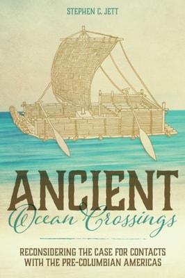
Paints a compelling picture of impressive pre-Columbian cultures and Old World civilizations that, contrary to many prevailing notions, were not isolated from one another In Ancient Ocean Crossings: Reconsidering the Case for Contacts with the Pre-Columbian Americas, Stephen Jett encourages readers to reevaluate the common belief that there was no significant interchange between the chiefdoms and civilizations of Eurasia and Africa and peoples who occupied the alleged terra incognita beyond the great oceans.
Mackey introduces the entrepreneurs who forged this important link between Montreal and the nation's interior and chronicles the course of their industry, correcting previous misinterpretations.
Hughes gives moving details about his life, from his time in England as a child while his father was in action in France during World War I, to time abroad in the army during World War II, to events during his twenty-six-year tenure on the bench.
Backpacker's Using a GPS: Digital Trip Planning, Recording, and Sharing isa complete guide to the digital mapping revolution including how to do it and how to join it.
All the expert guidance you need to understand, build, and operate GPS receivers The Second Edition of this acclaimed publication enables readers to understand and apply the complex operation principles of global positioning system (GPS) receivers.
How to build and operate GPS receivers-a working resource for engineers While GPS receivers abound in numerous applications, much of the information on their design is scattered in disparate and hard-to-find places.
The only comprehensive guide to Kalman filtering and its applications to real-world GPS/INS problems Written by recognized authorities in the field, this book provides engineers, computer scientists, and others with a working familiarity with the theory and contemporary applications of Global Positioning Systems (GPS), Inertial Navigational Systems, and Kalman filters.