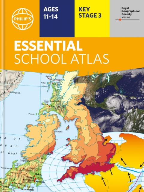
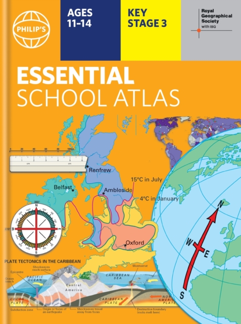
- Britain's best-selling school atlas - now in its 101st edition- Recommended for Key Stage 4, GCSE and A-level in England and Wales (Scottish National Qualifications/Highers) and international schools.
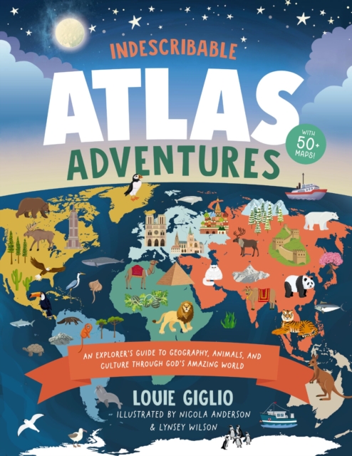
With more than 50 infographic maps, this illustrated world atlas for kids from bestselling author Louie Giglio will stretch your children's understanding of the globe as they discover more about God, science, and His amazing world!
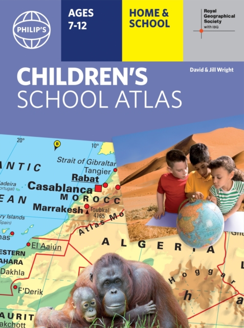
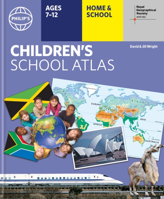
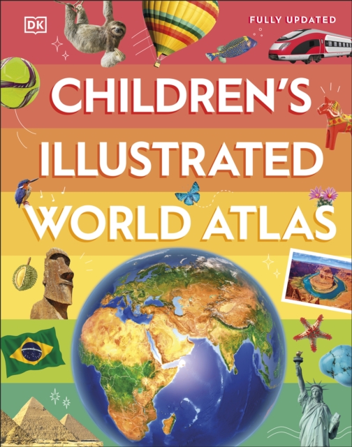
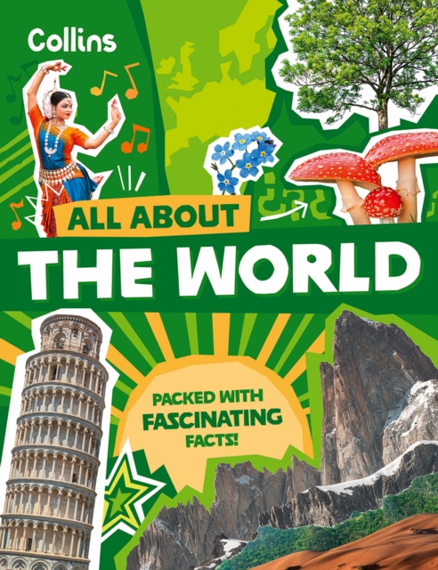
"e;This is such a great book for primary school age children and a little beyond for finding out about the world, its countries and people"e; Amazon customer review- Philip's atlas, designed specially to use at home and at school with guidance for parents and teachers- Clear maps and fascinating facts bring geography to life for readers aged 7-12- Published in association with the Royal Geographical Society- Quizzes, activity ideas and puzzles to make learning fun- Past winner of the Geographical Association's award for making a significant contribution to geographyThe atlas is organized spread by spread in the classic sequence: first Europe, then its land neighbour Asia, followed by Africa, Australia and Oceania, North America and South America.
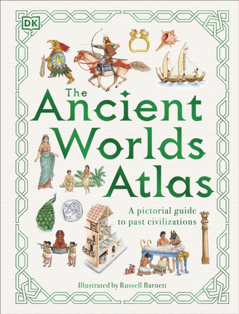
From the first cities of Sumer to the empire of the Incas, travel around the world and through 5,000 years of history in this illustrated guide to see where and how ancient peoples lived.
"e;This is such a great book for primary school age children and a little beyond for finding out about the world, its countries and people"e; Amazon customer review- Philip's atlas, designed specially to use at home and at school with guidance for parents and teachers- Clear maps and fascinating facts bring geography to life for readers aged 7-12- Published by Philip's in association with the Royal Geographical Society- Quizzes, activity ideas and puzzles to make learning fun- Past winner of the Geographical Association's award for making a significant contribution to geographyThe atlas is organized spread by spread in the classic sequence: first Europe, then its land neighbour Asia, followed by Africa, Australia and Oceania, North America and South America.
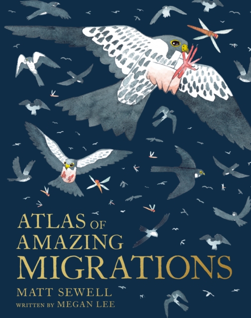
Matt Sewell returns with a sumptuous celebration of the most amazing migrating mammals, birds, reptiles, fish, insects and even plants who battle through Earth's toughest conditions to make extreme journeys.
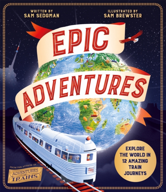
From Adventures on Trains author and British Book Award 2021 winner Sam Sedgman comes a beautiful and fact-filled book encapsulating the excitement and wonder of adventure and travel - all seen through the world's most epic train journeys.
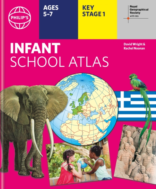
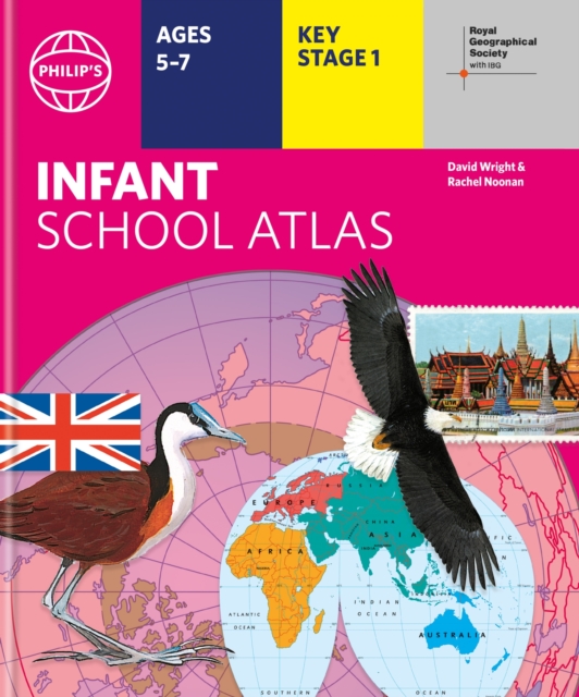
Written for 5 to 7 year-old this atlas is ideal for teaching Key Stage 1, helping to cover geography, history, science, citizenship and literacy requirements- Written by experts Professor David Wright and Rachel Noonan- Published in association with the Royal Geographical Society- 50 pages of clear, child-friendly maps showing our world today- Countries of the world brought to life with flags, illustrations and photos- Bold text, simple words and short sentences to encourage reading skills- Starts with the Earth as a Planet then zooms into each of the world's regions with maps and illustrations- Numbered balloons on each map link to photos of a real placeFully revised and updated, the atlas is for children aged 5-7 in the early stages of reading, with simple text to explain what is happening on the maps and illustrations - all compatible with National Curriculum Key Stage 1.
Written for 5 to 7 year-old this atlas is ideal for teaching Key Stage 1, helping to cover geography, history, science, citizenship and literacy requirements- Written by experts Professor David Wright and Rachel Noonan- Published in association with the Royal Geographical Society- 50 pages of clear, child-friendly maps showing our world today- Countries of the world brought to life with flags, illustrations and photos- Bold text, simple words and short sentences to encourage reading skills- Starts with the Earth as a Planet then zooms into each of the world's regions with maps and illustrations- Numbered balloons on each map link to photos of a real placeFully revised and updated, the atlas is for children aged 5-7 in the early stages of reading, with simple text to explain what is happening on the maps and illustrations - all compatible with National Curriculum Key Stage 1.
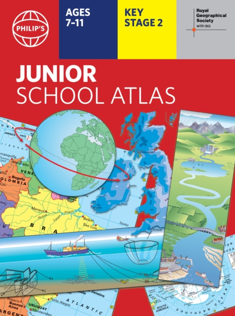
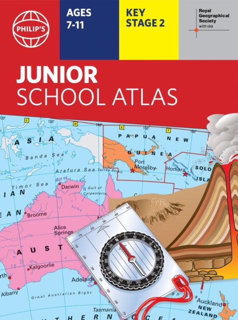
The 12th edition of the market-leading atlas for primary school pupils, Philip's RGS Junior School Atlas has been fully revised and updated with all the latest facts and curriculum requirements.
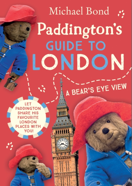
Paddington Bear has been delighting adults and children alike with his earnest good intentions and humorous misadventures for over sixty years and is now a major movie star!
The 11th edition of the market-leading atlas for primary school pupils, Philip's RGS Junior School Atlas has been fully revised and updated with all the latest facts and curriculum requirements.