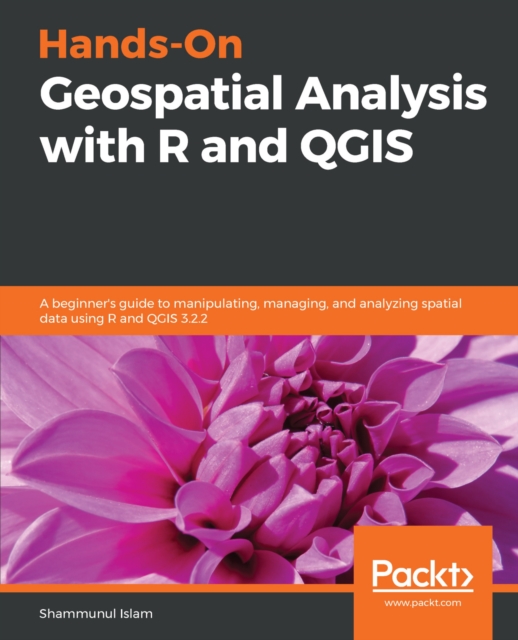
Practical examples with real-world projects in GIS, Remote sensing, Geospatial data management and Analysis using the R programming languageKey FeaturesUnderstand the basics of R and QGIS to work with GIS and remote sensing dataLearn to manage, manipulate, and analyze spatial data using R and QGISApply machine learning algorithms to geospatial data using R and QGISBook DescriptionManaging spatial data has always been challenging and it's getting more complex as the size of data increases.
Building the Agile Enterprise with Capabilities, Collaborations and Values, Second Edition covers advances that make technology more powerful and pervasive while, at the same time, improving alignment of technology with business.