Whether the project is river engineering, soil mapping for landuse planning, or control of landslides, this volume, first published in 1976, illustrates that the professional partnership between geomorphology and engineering can significantly minimize environmental damage.
This book, first published in 1902, is the product of the detailed geological survey undertaken by the Borneo Expedition of the late nineteenth century.
Originally published in this form in 1971, the content of this book was originally part of a larger composite volume 'Water, Earth and Man' (1969) which provided a synthesis of hydrology, geomorphology and socio-economic geography.
Originally published in this form in 1971, the content of this book was originally part of a larger composite volume 'Water, Earth and Man' (1969) which provided a synthesis of hydrology, geomorphology and socio-economic geography.
Originally published in this form in 1971, the content of this book was originally part of a larger composite volume 'Water, Earth and Man' (1969) which provided a synthesis of hydrology, geomorphology and socio-economic geography.
Originally published in this form in 1971, the content of this book was originally part of a larger composite volume 'Water, Earth and Man' (1969) which provided a synthesis of hydrology, geomorphology and socio-economic geography.
Originally published in this form in 1971, the content of this book was originally part of a larger composite volume 'Water, Earth and Man' (1969) which provided a synthesis of hydrology, geomorphology and socio-economic geography.
Originally published in this form in 1971, the content of this book was originally part of a larger composite volume 'Water, Earth and Man' (1969) which provided a synthesis of hydrology, geomorphology and socio-economic geography.
The book presents the first comprehensive description of parts of the Mid-Atlantic ridge subject to a contract for polymetallic sulphide exploration between the International Seabed Authority and the Ministry of Environment of the Republic of Poland.
In this engrossing and accessible book, Doug Macdougall explores the causes and effects of ice ages that have gripped our planet throughout its history, from the earliest known glaciation-nearly three billion years ago-to the present.
The first in-depth synthesis of processes controlling river discharge to the global ocean, including climatic and anthropogenic factors; includes online database.
The first in-depth synthesis of processes controlling river discharge to the global ocean, including climatic and anthropogenic factors; includes online database.
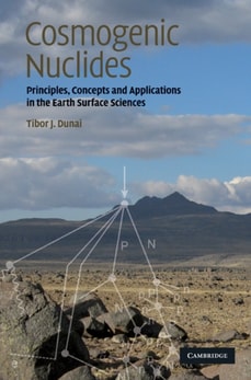
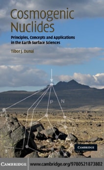
The first comprehensive, state-of-the-art introduction to the fast-evolving topic of in-situ produced cosmogenic nuclides, for graduate students and practitioners.
The first comprehensive, state-of-the-art introduction to the fast-evolving topic of in-situ produced cosmogenic nuclides, for graduate students and practitioners.
Describes fluid flow, transport and contamination in rocks and sediments, for graduate students and professionals in hydrology, water resources, geochemistry.
This practical guide demonstrates the successful application of geophysical techniques in periglacial environments through international field studies.
A detailed and comprehensive overview of observational and modelling techniques for all climate change, environmental science and glaciology researchers.
The new edition of Arid Zone Geomorphology aims to encapsulate the advances that have been made in recent years in the investigation and explanation of landforms and geomorphological processes in drylands.
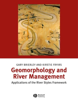
This book outlines a generic set of procedures, termed the River Styles Framework, which provides a set of tools for interpreting river character, behavior, condition, and recovery potential.
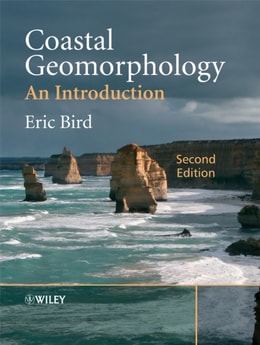
Coastal Geomorphology, Second Edition is a comprehensive and systematic introduction to this subject and demonstrates the dynamic nature of coastal landforms, providing a background for analytical planning and management strategies in coastal areas that are subject to continuing changes.
The new edition of Arid Zone Geomorphology aims to encapsulate the advances that have been made in recent years in the investigation and explanation of landforms and geomorphological processes in drylands.