Slope stability engineering is both an art and a science practised by many civil and geotechnical engineers involved in work on landslides, earth dams, breakwaters, coastal defence, earthworks slopes for roads, canals, railways, pipelines, housing developments, and other related developments.
Slope stability engineering is both an art and a science practised by many civil and geotechnical engineers involved in work on landslides, earth dams, breakwaters, coastal defence, earthworks slopes for roads, canals, railways, pipelines, housing developments, and other related developments.
The Quest for Oil (1970) examines all aspects of the oil industry - what oil is, where it is found, how fuels are produced, transported and sold, and the ways in which the fuels are used.
Con las incorporaciones de Bolivia y Perú, una novedad este año, Descorchados ya cubre a todos los países productores de vinos más relevantes de la escena sudamericana.
Reservoir characterization as a discipline grew out of the recognition that more oil and gas could be extracted from reservoirs if the geology of the reservoir was understood.
Reise zum Mittelpunkt der Erde ist einer der wenigen Romane von Jules Verne, deren Vision wohl niemals Wirklichkeit wird: Dafür ist es im Erdinnern einfach zu heiß.
La construcción de la DO Rioja como modelo vitivinícola en España sintetiza las investigaciones del autor sobre la historia del famoso vino de Rioja, en España.
How the concept of ';deep time' began as a metaphor used by philosophers, poets, and naturalists in the eighteenth and nineteenth centuriesIn this interdisciplinary book, Noah Heringman argues that the concept of ';deep time'most often associated with geological epochsbegan as a metaphorical language used by philosophers, poets, and naturalists of the eighteenth and nineteenth centuries to explore the origins of life beyond the written record.
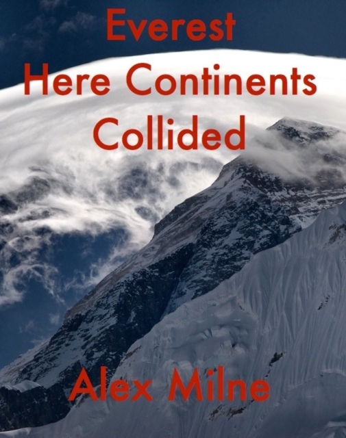
Everest Here Continents Collided was written for the trekker, the armchair mountain enthusiast and the educationalist, who want to understand the spectacular continental collision that has shaped the roof of the world.
Whilst the greatest effort has been made to ensure the quality of this text, due to the historical nature of this content, in some rare cases there may be minor issues with legibility.
Whilst the greatest effort has been made to ensure the quality of this text, due to the historical nature of this content, in some rare cases there may be minor issues with legibility.
Whilst the greatest effort has been made to ensure the quality of this text, due to the historical nature of this content, in some rare cases there may be minor issues with legibility.
Whilst the greatest effort has been made to ensure the quality of this text, due to the historical nature of this content, in some rare cases there may be minor issues with legibility.
Whilst the greatest effort has been made to ensure the quality of this text, due to the historical nature of this content, in some rare cases there may be minor issues with legibility.
Intertidal Deposits: River Mouths, Tidal Flats, and Coastal Lagoons combines the authors personal and professional experience with the mass of available literature to present a cohesive overview of intertidal deposits and the widely diverse conditions of their formation worldwide.
Intertidal Deposits: River Mouths, Tidal Flats, and Coastal Lagoons combines the authors personal and professional experience with the mass of available literature to present a cohesive overview of intertidal deposits and the widely diverse conditions of their formation worldwide.
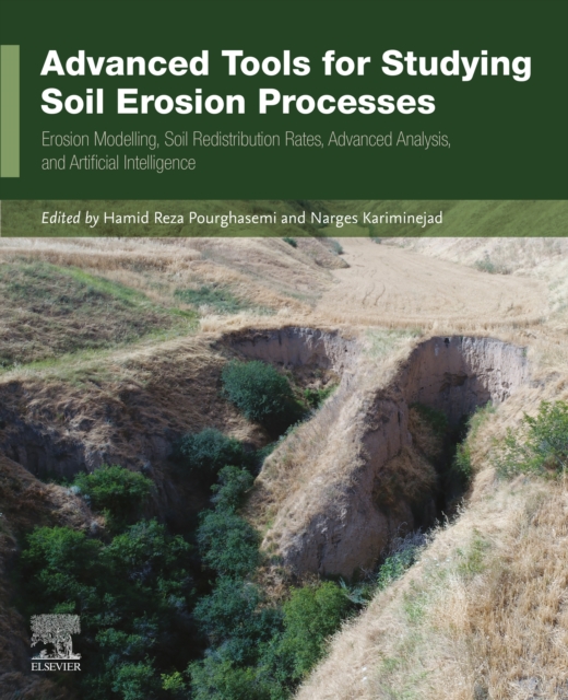
Advanced Tools for Studying Soil Erosion Processes: Erosion Modelling, Soil Redistribution Rates, Advanced Analysis, and Artificial Intelligence presents the most recent technologies and methods in quantifying soil erosion, focusing on quantitative geomorphological assessment, soil erosion interaction with natural and man-made hazards using new methods, and technologies that employ GIS, remote sensing (RS), spatial modeling, and machine learning tools as an effective plan for decision-makers and land users.
This book, first published in 1983, incorporates a wealth of reference material - keys, nomograms, tables, charts - likely to be needed in the field for actual fieldwork.
Agricultural Soil Sustainability and Carbon Management presents long-term research in the field of sustainable soil use and management to guide in the prioritizing the multifunctional value of soil health and addressing interdisciplinary links between major issues such as biodiversity and climate change.
This volume covers various aspects of the fundamentals, synthesis, analysis, design, monitoring, and control of metals, materials, and metallurgical processes and phenomena.
Agricultural Soil Sustainability and Carbon Management presents long-term research in the field of sustainable soil use and management to guide in the prioritizing the multifunctional value of soil health and addressing interdisciplinary links between major issues such as biodiversity and climate change.
Formation Evaluation with Pre-Digital Well Logs covers the practical use of legacy materials for formation evaluation using wireline logging equipment from 1927 until the introduction of digital logging in the 1960s and '70s.
As debates about the effects of fossil fuels on our climate and foreign policy intensify, the question of just how much longer we can depend on this finite source of energy becomes more and more pressing.
Coastal wetlands are under a great deal of pressure from the dual forces of rising sea level and the intervention of human populations both along the estuary and in the river catchment.
This book investigates the evolution process of rockburst based on the energy dissipation theory and proposes appropriate active prevention and control technologies.
This book gathers older and current knowledge of the evolution and functioning of cuesta landscapes to provide a better understanding of the Luxembourgian landscape.
This book asserts that the albatross was the reason for the advance of the Japanese into the isolated islands in the Pacific after the abolition of the Japanese "e;closed-door"e; policy that had been in effect from the seventeenth century to the latter part of the nineteenth century.
This book focuses on the survey technology, post-processing technology, mapping technology and scientific application of the submarine topography and geomorphology in detail.
This book presents general problems in geoarchaeology, and discusses geophysical solutions, X-ray fluorescence spectrometry applications, X-ray and isotope analyses and GIS technologies.