The second volume of this comprehensive global perspective on Integrated Drought Management is focused on drought modeling, meteorological prediction, and the use of remote sensing in assessing, analyzing, and monitoring drought.
Covering significant new advances in satellite oceanography, this new edition introduces remote sensing for graduate and advanced undergraduate students.
Covering significant new advances in satellite oceanography, this new edition introduces remote sensing for graduate and advanced undergraduate students.
An essential reference for researchers and students of planetary remote sensing on the interaction of electromagnetic radiation with planetary surfaces.
An essential reference for researchers and students of planetary remote sensing on the interaction of electromagnetic radiation with planetary surfaces.
Media Boundaries and Conceptual Modelling forms part of the humanities tradition by facing one of the fundamental problems since antiquity: how different media represent the world we live in.
The climate over the Indian subcontinent is influenced by complex interactions between the atmosphere, ocean, and land, along with human interventions that are influencing heat extremes, changing monsoon patterns, sea-level rise, and posing serious threats to lives and livelihoods among populations in India.
The fifth edition of this core textbook in advanced remote sensing continues to maintain its emphasis on statistically motivated, data-driven techniques for remote sensing image analysis.
This is the first book to provide sociologists, criminologists, political scientists, and other social scientists with the methodological logic and techniques for doing spatial analysis in their chosen fields of inquiry.
This is the first book to provide sociologists, criminologists, political scientists, and other social scientists with the methodological logic and techniques for doing spatial analysis in their chosen fields of inquiry.
Written by a pioneer in the field, this unique volume is the only one of its kind to explore advanced concepts in the mathematical representation of polarization, descriptors, and various optical elements used in the analysis of polarization in multiple applications.
Through an exploration of the links between geologic setting, mining and process technologies, economics, environment and stakeholder communities, this text addresses ways in which the mineral industry can be made safe, efficient and ecologically sustainable, focusing in particular upon the following key themes: a review of the current status of t
Through an exploration of the links between geologic setting, mining and process technologies, economics, environment and stakeholder communities, this text addresses ways in which the mineral industry can be made safe, efficient and ecologically sustainable, focusing in particular upon the following key themes: a review of the current status of t
In order to provide water security in the twenty-first century, there is universal agreement that a continuation of current policies and extrapolation of trends is not an option.
More than 50% of the world's population already live in cities, and the proportion is rising extremely rapidly towards developed country levels of more than 90%.
This book is based on satellite image processing, focusing on the potential of hyperspectral image processing (HIP) research with a case study-based approach.
The agriculture system is under pressure to increase production every year as global population expands and more people move from a diet mostly made up of grains, to one with more meat, dairy and processed foods.
The agriculture system is under pressure to increase production every year as global population expands and more people move from a diet mostly made up of grains, to one with more meat, dairy and processed foods.
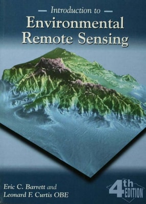
Taking a detailed, non-mathematical approach to the principles on which remote sensing is based, this book progresses from the physical principles to the application of remote sensing.
Taking a detailed, non-mathematical approach to the principles on which remote sensing is based, this book progresses from the physical principles to the application of remote sensing.
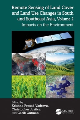
South and Southeast Asian countries are experiencing rapid land cover and land use changes (LCLUC) driven by urbanization, agricultural expansion, deforestation, and infrastructure development.
By offering an understanding of Geographic Information Systems within the social, economic, legal, political and ethical contexts within which they exist, the author shows that there are substantial limits to their ability to represent the very objects and relationships, people and places, that many believe to be most important.
By offering an understanding of Geographic Information Systems within the social, economic, legal, political and ethical contexts within which they exist, the author shows that there are substantial limits to their ability to represent the very objects and relationships, people and places, that many believe to be most important.
This book provides a non-technical introduction to High Performance Computing applications together with advice about how beginners can start to write parallel programs.
This book provides a non-technical introduction to High Performance Computing applications together with advice about how beginners can start to write parallel programs.
High Resolution Site Surveys brings together the full range of site surveying techniques for the first time, to provide a unified approach to marine and land-based resolution surveying.
The growing market penetration of Internet mapping, satellite imaging and personal navigation has opened up great research and business opportunities to geospatial communities.