The agriculture system is under pressure to increase production every year as global population expands and more people move from a diet mostly made up of grains, to one with more meat, dairy and processed foods.
The agriculture system is under pressure to increase production every year as global population expands and more people move from a diet mostly made up of grains, to one with more meat, dairy and processed foods.
This special issue collects enhanced and extended versions of papers that were presented at the Symposium on Spatial Vagueness, Uncertainty, and Granularity held in October 2001.
This special issue collects enhanced and extended versions of papers that were presented at the Symposium on Spatial Vagueness, Uncertainty, and Granularity held in October 2001.
Taking a detailed, non-mathematical approach to the principles on which remote sensing is based, this book progresses from the physical principles to the application of remote sensing.
Taking a detailed, non-mathematical approach to the principles on which remote sensing is based, this book progresses from the physical principles to the application of remote sensing.
The Companion Encyclopedia of Geography provides an authoritative and provocative source of reference for all those concerned with the earth and its people.
Location Technologies in International Context offers the first international account of location technologies (in an expanded sense) and brings together a range of contributions on these technologies and their various cultures of use within the Global South.
Location Technologies in International Context offers the first international account of location technologies (in an expanded sense) and brings together a range of contributions on these technologies and their various cultures of use within the Global South.
In his influential 1991 book Edge City, Joel Garreau argued that every American city "e;is growing in the fashion of Los Angeles, with multiple urban cores"e;.
In his influential 1991 book Edge City, Joel Garreau argued that every American city "e;is growing in the fashion of Los Angeles, with multiple urban cores"e;.
The specialist contributors to Geomorphological Techniques have thoroughly augmented and updated their original, authoritative coverage with critical evaluations of major recent developments in this field.
The specialist contributors to Geomorphological Techniques have thoroughly augmented and updated their original, authoritative coverage with critical evaluations of major recent developments in this field.
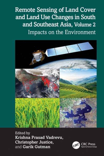
South and Southeast Asian countries are experiencing rapid land cover and land use changes (LCLUC) driven by urbanization, agricultural expansion, deforestation, and infrastructure development.
This second edition of Geographic Information Systems builds on the strengths of the first, and incorporates important recent advances in GIS development and major new socioeconomic datasets including new census data.
This second edition of Geographic Information Systems builds on the strengths of the first, and incorporates important recent advances in GIS development and major new socioeconomic datasets including new census data.
By offering an understanding of Geographic Information Systems within the social, economic, legal, political and ethical contexts within which they exist, the author shows that there are substantial limits to their ability to represent the very objects and relationships, people and places, that many believe to be most important.
By offering an understanding of Geographic Information Systems within the social, economic, legal, political and ethical contexts within which they exist, the author shows that there are substantial limits to their ability to represent the very objects and relationships, people and places, that many believe to be most important.
This book provides a non-technical introduction to High Performance Computing applications together with advice about how beginners can start to write parallel programs.
This book provides a non-technical introduction to High Performance Computing applications together with advice about how beginners can start to write parallel programs.
Informed Cities looks at the knowledge brokerage processes between cities and higher education institutions, and in particular evaluates governance mechanisms for monitoring local sustainability and the role of research within this.
Informed Cities looks at the knowledge brokerage processes between cities and higher education institutions, and in particular evaluates governance mechanisms for monitoring local sustainability and the role of research within this.
Applied Geography offers an invaluable introduction to useful research in physical, environmental and human geography and provides a new focus and reference point for investigating and understanding problem-orientated research.
Applied Geography offers an invaluable introduction to useful research in physical, environmental and human geography and provides a new focus and reference point for investigating and understanding problem-orientated research.
Geographers have for a long time contributed much valuable detailed data on the geographical patterns of disease and health care delivery to the medical world.
Geographers have for a long time contributed much valuable detailed data on the geographical patterns of disease and health care delivery to the medical world.
Not only is locative media one of the fastest growing areas in digital technology, but questions of location and location-awareness are increasingly central to our contemporary engagements with online and mobile media, and indeed media and culture generally.
Not only is locative media one of the fastest growing areas in digital technology, but questions of location and location-awareness are increasingly central to our contemporary engagements with online and mobile media, and indeed media and culture generally.
High Resolution Site Surveys brings together the full range of site surveying techniques for the first time, to provide a unified approach to marine and land-based resolution surveying.
Economists, geographers and surveyors are beginning to recognise the powerful tool which a Geographical Information System (GIS) offers in effective property management.
Economists, geographers and surveyors are beginning to recognise the powerful tool which a Geographical Information System (GIS) offers in effective property management.
As research in the geosciences and social sciences becomes increasingly dependent on computers, applications such as geographical information systems are becoming indispensable tools.