Originally published in 1974, was a pioneering study which summarized, within the pre-existing framework of atmospheric knowledge, the more significant findings that emerged from the first decade of climatological analyses of meteorological satellite data.
Originally published in 1974, was a pioneering study which summarized, within the pre-existing framework of atmospheric knowledge, the more significant findings that emerged from the first decade of climatological analyses of meteorological satellite data.
GIS projects have previously been viewed primarily as technical exercises but it is now evident that the success of GIS projects depends as much upon organisational issues as upon technicalities.
Large-Scale 3D Data Integration: Challenges and Opportunities examines the fundamental aspects of 3D geo-information, focusing on the latest developments in 3D GIS (geographic information) and AEC (architecture, engineering, construction) systems.
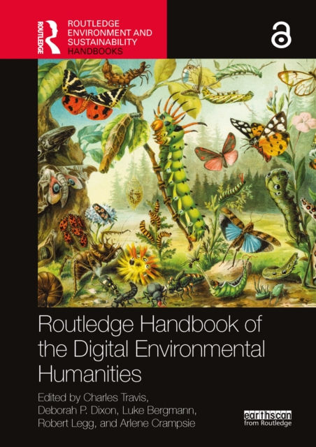
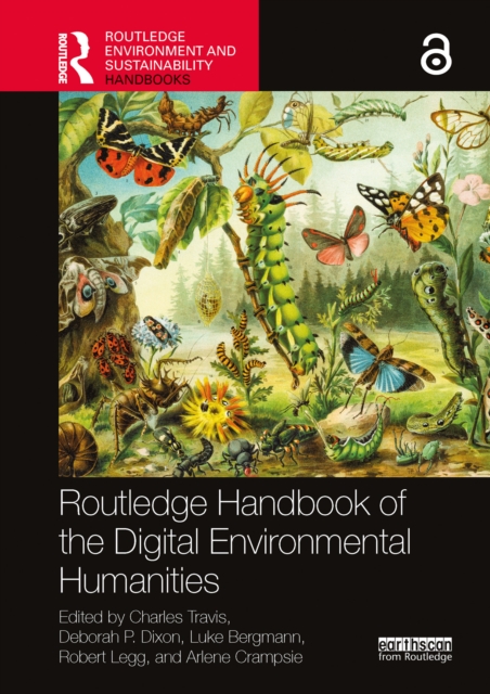
The Routledge Handbook of the Digital Environmental Humanities explores the digital methods and tools scholars use to observe, interpret, and manage nature in several different academic fields.
The Routledge Handbook of the Digital Environmental Humanities explores the digital methods and tools scholars use to observe, interpret, and manage nature in several different academic fields.
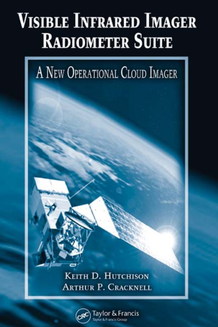
The Visible Infrared Imager Radiometer Suite (VIIRS) is the next-generation multispectral imaging instrument to fly on US operational, polar-orbiting meteorological satellites.
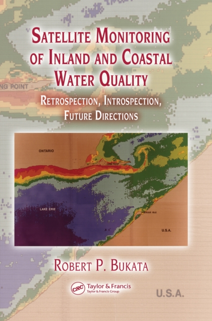
Satellite Monitoring of Inland and Coastal Water Quality: Retrospection, Introspection, Future Directions reviews how aquatic optics models can convert remote determinations of water color into accurate assessments of water quality.
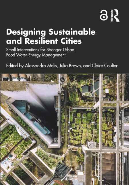
This book explores the link between the Food-Water-Energy nexus and sustainability, and the extraordinary value that small tweaks to this nexus can achieve for more resilient cities and communities.
This book explores the spatial characteristics of the city of Kolkata in India in terms of the physical, economic, social, political, and environmental aspects of urban geography, and focuses upon the inherent processes that impact its transformation.
This book explores the spatial characteristics of the city of Kolkata in India in terms of the physical, economic, social, political, and environmental aspects of urban geography, and focuses upon the inherent processes that impact its transformation.
This book disseminates various long-term data and research results from university forests in Asia towards realizing adaptive forest management and conservation based on a comprehensive understanding of environmental changes and ecological responses.
This book disseminates various long-term data and research results from university forests in Asia towards realizing adaptive forest management and conservation based on a comprehensive understanding of environmental changes and ecological responses.
This book discusses the various aspects of smart cities and their architecture along with the application of the latest technologies, including the Internet of Things (IoT) and artificial intelligence (AI).
This book presents the proceedings of the 30th International Geological Congress, providing information on geological hazards map and image analytical systems, mineral resources with integrated information, phase-separation analysis, mineral reserve estimation, and geosciences and management information systems.
All around the world, regions are facing major challenges: climate change, the transition to renewable energy, reinventing the food system, ongoing urbanisation and finding room to sustain biodiversity.
Remote Sensing and Image Processing in Mineralogy reveals the critical tools required to comprehend the latest technology surrounding the remote sensing imaging of mineralogy, oil and gas explorations.
Remote Sensing and Image Processing in Mineralogy reveals the critical tools required to comprehend the latest technology surrounding the remote sensing imaging of mineralogy, oil and gas explorations.
Spatial predictive modeling (SPM) is an emerging discipline in applied sciences, playing a key role in the generation of spatial predictions in various disciplines.
This is a comprehensive resource that integrates the application of innovative remote sensing techniques and geospatial tools in modeling Earth systems for environmental management beyond customary digitization and mapping practices.
This is a comprehensive resource that integrates the application of innovative remote sensing techniques and geospatial tools in modeling Earth systems for environmental management beyond customary digitization and mapping practices.
The chapters in this book cover crop -weather interaction and agro-met observatory, agro-climatic analysis, crop micro-meteorology, remote sensing, crop simulation models, weather codes and their management, integrated weather forecast and agro advisories, climate change, livestock climatology/meteorology and astrometeorology.
Re-envisioning Advances in Remote Sensing: Urbanization, Disasters and Planning aims at portraying varied advancements in remote sensing applications, particularly in the fields of urbanization, disaster management and regional planning perspectives.
Re-envisioning Advances in Remote Sensing: Urbanization, Disasters and Planning aims at portraying varied advancements in remote sensing applications, particularly in the fields of urbanization, disaster management and regional planning perspectives.
This volume offers a critical and creative analysis of the innovations of Deathscapes, a transnational digital humanities project that maps the sites and distributions of custodial deaths in locations such as police cells, prisons and immigration detention centres.
This volume offers a critical and creative analysis of the innovations of Deathscapes, a transnational digital humanities project that maps the sites and distributions of custodial deaths in locations such as police cells, prisons and immigration detention centres.
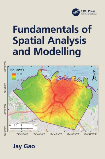
This textbook provides comprehensive and in-depth explanations of all topics related to spatial analysis and spatiotemporal simulation, including how spatial data are acquired, represented digitally, and spatially aggregated.