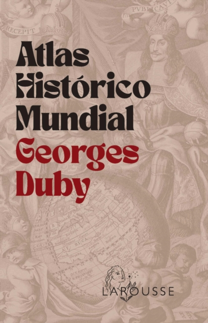
Ideado por Georges Duby, prestigioso historiador francés, este atlas histórico, obra de referencia en el ámbito de la geografía histórica y el desarrollocronológico, se presenta en una edición renovada y actualizada, con más de 340 mapas, que incluye los acontecimientos más recientes de la historia mundial, como el Brexit, la crisis del Coronavirus, la guerra en Ucrania o la ofensiva israelí en Palestina tras los ataques de Hamás.
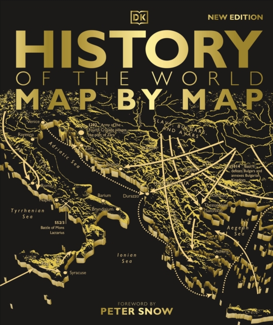
Witness our incredible human story unfold - from the very first people in Africa to the collapse of Communism and beyond - exquisitely charted map by map.
A SUNDAY TIMES #1 BESTSELLERA Waterstones Best Nature & Travel Writing Book 2025'Educational, smart and funny' Richard Osman'This book is superb' Charlie Brooker'Brilliant.
How to Draw a Map is a fascinating meditation on the centuries-old art of map-making, from the first astronomical maps to the sophisticated GPS guides of today.
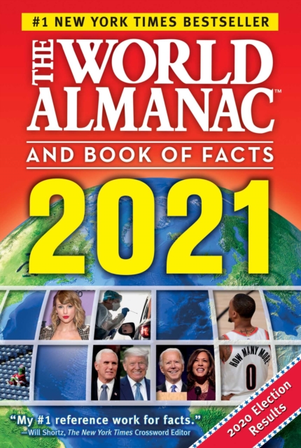
From the #1New York Timesbestselling World Almanac comes a fullcolor, fulloffun, oversize book packed with thousands of awesome facts about Americaeverything about the 50 states and beyond.
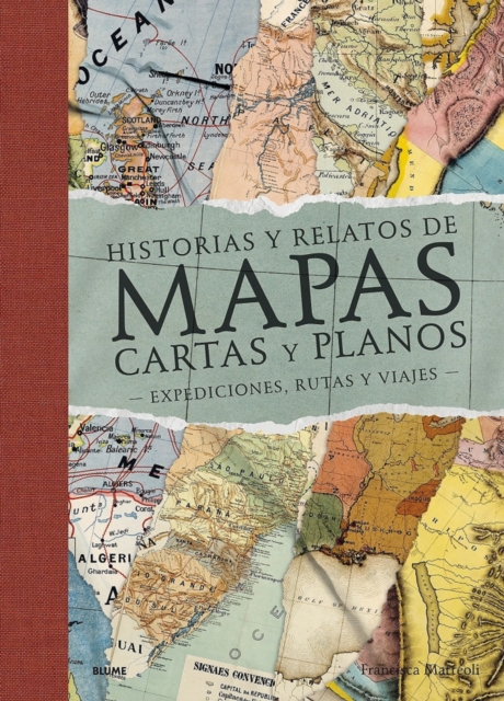
- Mediante un recorrido por el mundo a través de magníficos mapas de territorios y épocas distintos, la escritora Francisca Mattéoli nos ofrece una aventura geográfica sorprendente, en una veintena de textos sobre los lugares que la han inspirado.
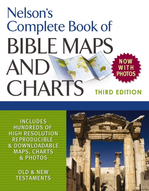
This updated edition of Thomas Nelson's popular Complete Book of Bible Maps and Charts has everything you need to visualize the events, places, and people in the Old and New Testaments.
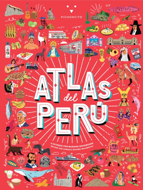
Descubre las maravillas de este fabuloso país con Atlas del Perú , el primer y único atlas ilustrado para niños con reseñas de lo mejor y másrepresentativo de cada región.
This updated edition of Thomas Nelson's popular Complete Book of Bible Maps and Charts has everything you need to visualize the events, places, and people in the Old and New Testaments.
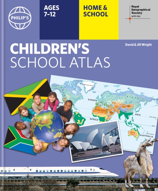
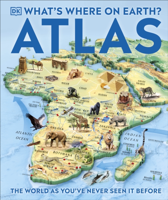
"e;This is such a great book for primary school age children and a little beyond for finding out about the world, its countries and people"e; Amazon customer review- Philip's atlas, designed specially to use at home and at school with guidance for parents and teachers- Clear maps and fascinating facts bring geography to life for readers aged 7-12- Published by Philip's in association with the Royal Geographical Society- Quizzes, activity ideas and puzzles to make learning fun- Past winner of the Geographical Association's award for making a significant contribution to geographyThe atlas is organized spread by spread in the classic sequence: first Europe, then its land neighbour Asia, followed by Africa, Australia and Oceania, North America and South America.
From the #1New York Timesbestselling World Almanac comes a fullcolor, fulloffun, oversize book packed with thousands of awesome facts about science, nature, and peopleeverything on planet Earth and beyond.
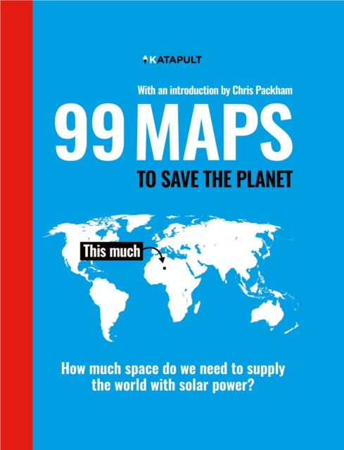
'Terrifying yet funny, surprising yet predictable, simple yet poignant' Chris PackhamA shocking but informative, eye-catching and witty book of maps that illustrate the perilous state of our planet.
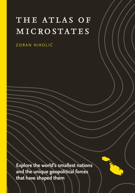
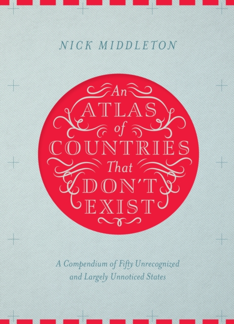
Acclaimed travel writer and Oxford geography don Nick Middleton takes us on a magical tour of countries that, lacking diplomatic recognition or UN membership, inhabit a world of shifting borders, visionary leaders and forgotten peoples.
This reference incorporates information from the 1990 Mexican census and combines a wealth of historical data with revised graphs and improved maps showing social and economic change over the past century, particularly over the past decade.
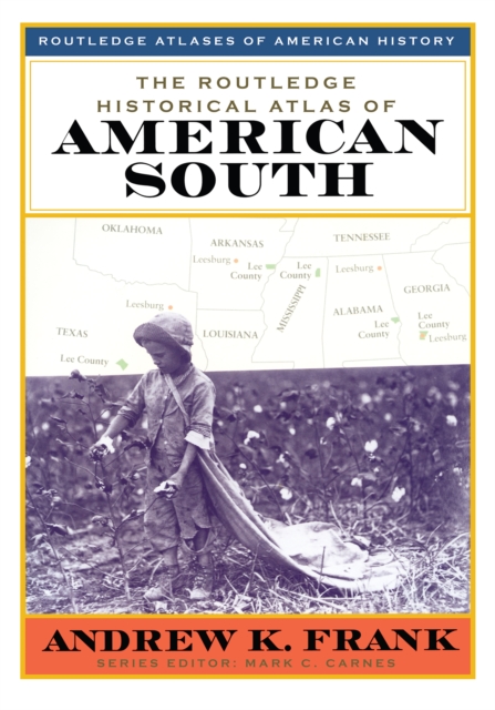
This book illuminates singular aspects of Southern society and culture and provides justification for thinking about the South as a region unto itself.
This book illuminates singular aspects of Southern society and culture and provides justification for thinking about the South as a region unto itself.
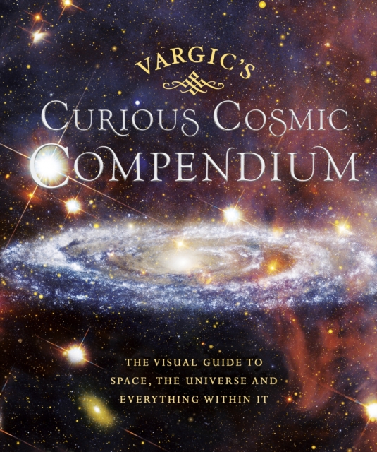
Take a trip to outer space with this weird and wonderful guide to our universe, the perfect gift for both young and old Vargic's beautifully innovative designs will help to explain all of the bizarre and fascinating aspects of the cosmos; from the history of the universe to what makes up our solar system and even how human life fits into the wider picture.
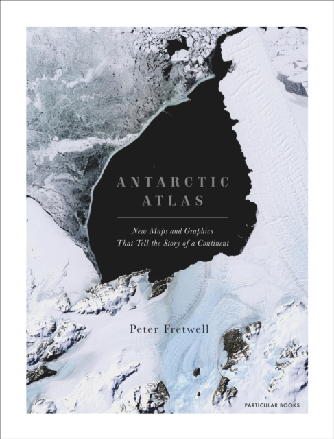
A FINANCIAL TIMES BOOK OF THE YEAR 2020SHORTLISTED FOR THE ESTWA AWARD FOR ILLUSTRATED TRAVEL BOOK OF THE YEAR 2022One of the least-known places on the planet, the only continent on earth with no indigenous population, Antarctica is a world apart.