This volume is a compendium of the rich archeological and literary evidence on the Iranian world in its larger sense, comprising part of what is now Soviet Central Asia and Afghanistan as well as Iran proper.
The first cartographic reference book on one of today's most important religious movementsHistorical Atlas of Hasidism is the very first cartographic reference book on one of the modern era's most vibrant and important mystical movements.
Witness our incredible human story unfold - from the very first people in Africa to the collapse of Communism and beyond - exquisitely charted map by map.
A SUNDAY TIMES #1 BESTSELLERA Waterstones Best Nature & Travel Writing Book 2025'Educational, smart and funny' Richard Osman'This book is superb' Charlie Brooker'Brilliant.
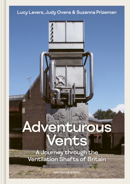
A beautiful tribute to some of the UK's strangest, most charismatic structures - and an invitation to see the world around us a little differently'Allow me to vent my enthusiasm for the oddest book of the year.
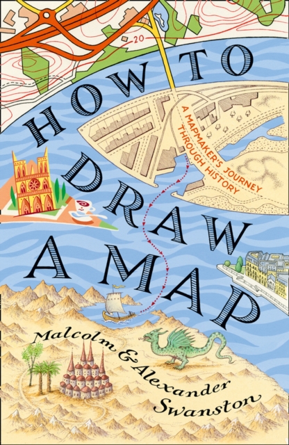
How to Draw a Map is a fascinating meditation on the centuries-old art of map-making, from the first astronomical maps to the sophisticated GPS guides of today.
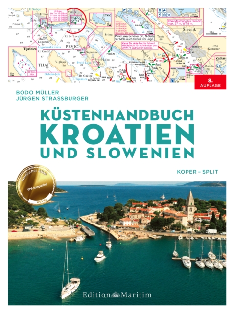
Segeln im Reich der tausend Inseln: Handbuch fur Bootstouren in Kroatien und SlowenienDas Kustenhandbuch fur Kroatien und Slowenien enthalt alles, was Segler und Motorboot-Kapitane fur entspannte Torns im Mittelmeer benotigen.
There is a story in the name of almost every street and district in Glasgow, with some tracing their origins to pagan times, long before Glasgow could even be called a city.
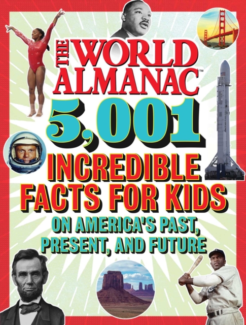
From the #1New York Timesbestselling World Almanac comes a fullcolor, fulloffun, oversize book packed with thousands of awesome facts about Americaeverything about the 50 states and beyond.
El estudio del precio de la tierra rural en areas de influencia metropolitana se constituye en un tema de actualidad e importancia, el cual es desarrollado por el autor en este libro, la obra muestra los resultados de una investigacion enmarcada en la geografia economica cuyo enfoque teorico fue la teoria de la renta de la tierra.
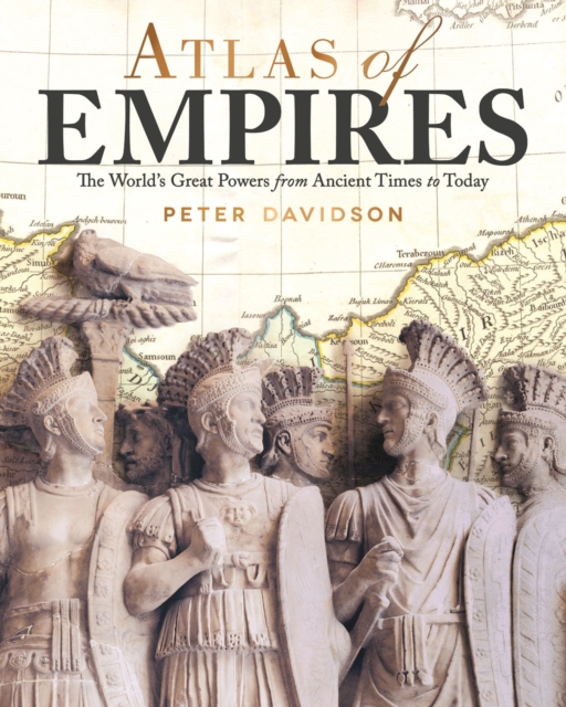
Atlas of Empires tells the story of how and why the great empires of history came into being, operated, and ultimately declined, and it discusses the future of the empire in today's globalized world.
Die Geschichte von Atlantis – eine sagenumwobene Insel, die von einer fortschrittlichen Zivilisation bewohnt und durch eine Katastrophe zerstört wurde – fasziniert und inspiriert die Menschheit seit mehr als zweitausend Jahren.
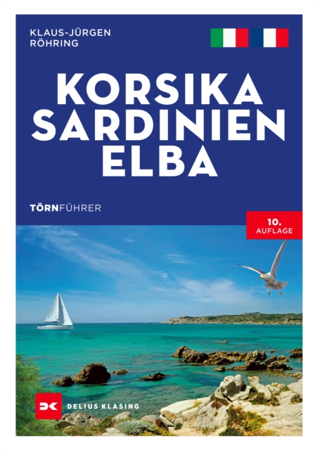
Segeln und Motorbootfahren zwischen Italien und Frankreich: die schönsten Törns im westlichen MittelmeerDas Tyrrhenische Meer mit Korsika, Sardinien und Elba ist eines der populärsten Reviere im Mittelmeer.
Segeln und Motorbootfahren zwischen Italien und Frankreich: die schönsten Törns im westlichen MittelmeerDas Tyrrhenische Meer mit Korsika, Sardinien und Elba ist eines der populärsten Reviere im Mittelmeer.
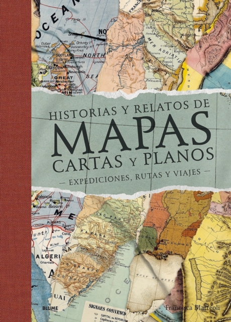
- Mediante un recorrido por el mundo a través de magníficos mapas de territorios y épocas distintos, la escritora Francisca Mattéoli nos ofrece una aventura geográfica sorprendente, en una veintena de textos sobre los lugares que la han inspirado.
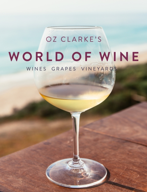
Oz Clarke is recognized the world over as one of the leading experts on wine and this new book, Oz Clarke's World of Wine, is an entertaining yet authoritative guide to the world of wine that has grown out of all recognition in the last 20 years.
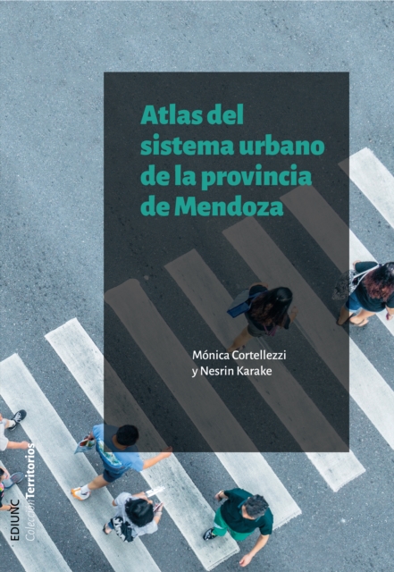
El trabajo dirigido por las docentes e investigadoras Mónica Cortellezzi y Nesrin Karake contó con la valiosa colaboración del cartógrafo Martín Rizzo y los geógrafos profesionales Yésica Jacqueline Tapiz y Daniel Aricoma Mérida, quienes realizaron diferentes tareas para la concreción de este atlas.
El trabajo dirigido por las docentes e investigadoras Mónica Cortellezzi y Nesrin Karake contó con la valiosa colaboración del cartógrafo Martín Rizzo y los geógrafos profesionales Yésica Jacqueline Tapiz y Daniel Aricoma Mérida, quienes realizaron diferentes tareas para la concreción de este atlas.
This updated edition of Thomas Nelson's popular Complete Book of Bible Maps and Charts has everything you need to visualize the events, places, and people in the Old and New Testaments.
Este Cuaderno encierra un particular "viaje a Tierra Santa" con un guía de excepción, Olivier Artus, profesor de Sagrada Escritura en el Instituto Católico de Paris y miembro de la Pontificia Comisión Bíblica.
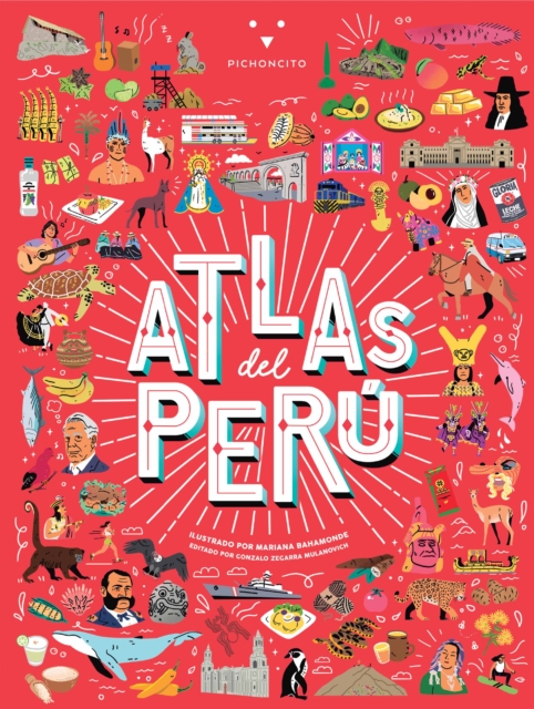
Descubre las maravillas de este fabuloso país con Atlas del Perú , el primer y único atlas ilustrado para niños con reseñas de lo mejor y másrepresentativo de cada región.
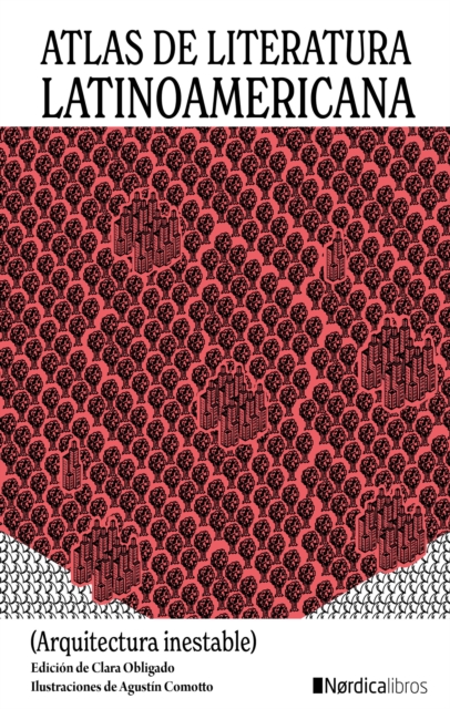
La escritora Clara Obligado coordina este necesario Atlas de literatura latinoamericana que pretende visibilizar y reivindicar la rica variedad de tradiciones literarias presentes en esos países y que con demasiada frecuencia se desconocen en España y en las naciones vecinas.
This updated edition of Thomas Nelson's popular Complete Book of Bible Maps and Charts has everything you need to visualize the events, places, and people in the Old and New Testaments.
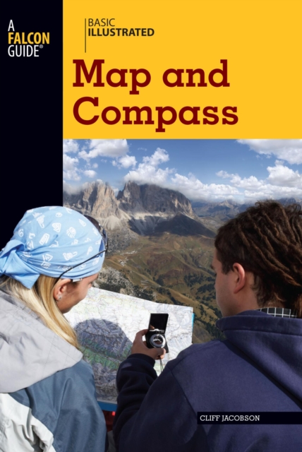
BASIC ILLUSTRATED MAP AND COMPASSWilderness guide Cliff Jacobson created the map and compass curriculum for the Minnesota Department of Natural Resources, and here he shows easy-to-follow steps on choosing a compass, reading contour lines and other map features, using them in concert with a GPS receiver, plotting a course in the wilderness, navigating at night by the stars, and much more.
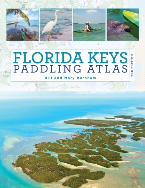
The Florida Keys Paddling Atlas, a first of its kind detailed color atlas of the Florida Keys, from Key Largo to Key West, is specifically designed for paddlers, fly fishers, snorkelers, and other small craft water enthusiasts interested in shallow water exploration.