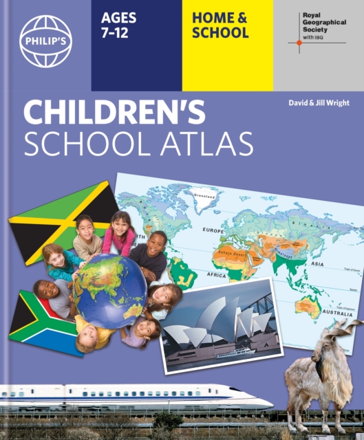
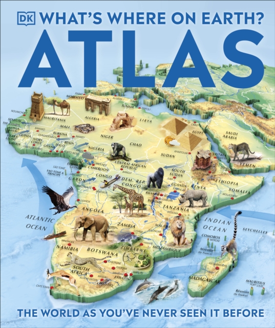
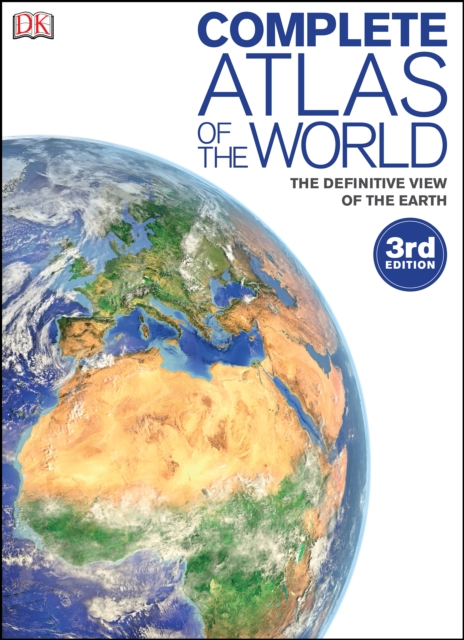
"e;This is such a great book for primary school age children and a little beyond for finding out about the world, its countries and people"e; Amazon customer review- Philip's atlas, designed specially to use at home and at school with guidance for parents and teachers- Clear maps and fascinating facts bring geography to life for readers aged 7-12- Published by Philip's in association with the Royal Geographical Society- Quizzes, activity ideas and puzzles to make learning fun- Past winner of the Geographical Association's award for making a significant contribution to geographyThe atlas is organized spread by spread in the classic sequence: first Europe, then its land neighbour Asia, followed by Africa, Australia and Oceania, North America and South America.
Ortsnamen sind Fixpunkte der Orientierung in unserer Welt: Oft Jahrhunderte, manchmal Jahrtausende alt, bestimmen sie Regionen und Landschaften in unverwechselbarer Weise.
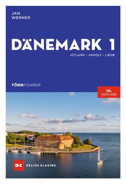
Rund Jütland mit Motor- oder Segelboot: Die schönsten Törns in DänemarkJan Werner nimmt Sie in diesem Revierführer mit zu den schönsten Zielen vor den dänischen Küsten.
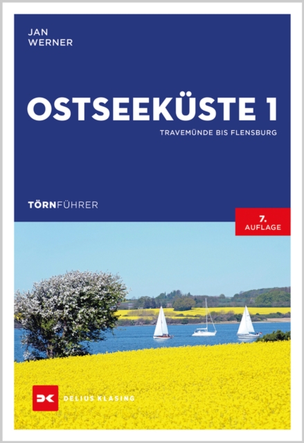
Segelurlaub an der Ostsee – die schönsten Törns zwischen Lübeck und FlensburgAus der Lübecker Bucht hinaus bis zur Insel Fehmarn und zurück ins Segler-Mekka Kiel oder in aller Ruhe immer an der Küste entlang bis in die malerische Flensburger Förde: Ein Urlaub an der Ostsee hält vielfältige Törns für Segler und Motorbootfahrer bereit.
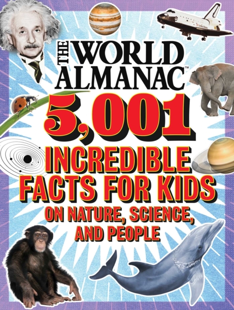
From the #1New York Timesbestselling World Almanac comes a fullcolor, fulloffun, oversize book packed with thousands of awesome facts about science, nature, and peopleeverything on planet Earth and beyond.
Barron's Regents Exams and Answers: Earth Scienceprovides essential review for students taking the Earth Science Regents, including actual exams administered for the course, thorough answer explanations, and comprehensive review of all topics.
The Florida Keys Paddling Atlas, a first of its kind detailed color atlas of the Florida Keys, from Key Largo to Key West, is specifically designed for paddlers, fly fishers, snorkelers, and other small craft water enthusiasts interested in shallow water exploration.
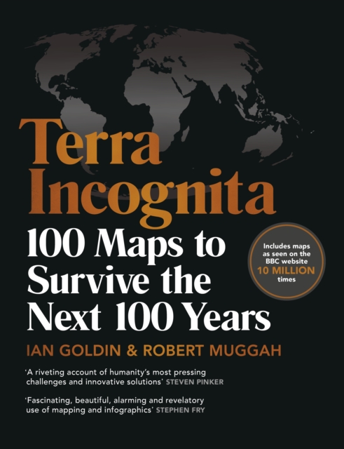
'Terrifying yet funny, surprising yet predictable, simple yet poignant' Chris PackhamA shocking but informative, eye-catching and witty book of maps that illustrate the perilous state of our planet.
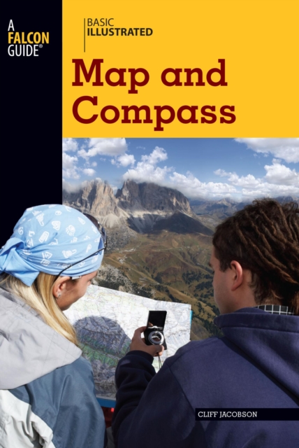
BASIC ILLUSTRATED MAP AND COMPASSWilderness guide Cliff Jacobson created the map and compass curriculum for the Minnesota Department of Natural Resources, and here he shows easy-to-follow steps on choosing a compass, reading contour lines and other map features, using them in concert with a GPS receiver, plotting a course in the wilderness, navigating at night by the stars, and much more.
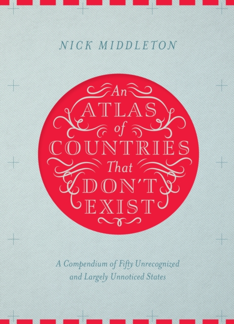
Acclaimed travel writer and Oxford geography don Nick Middleton takes us on a magical tour of countries that, lacking diplomatic recognition or UN membership, inhabit a world of shifting borders, visionary leaders and forgotten peoples.
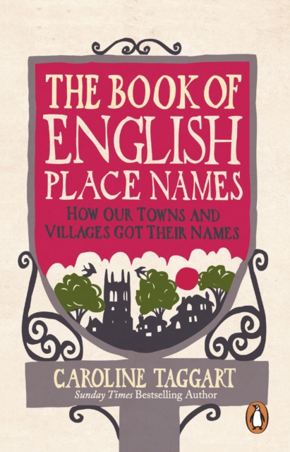
Take a journey down winding lanes and Roman roads in this witty and informative guide to the meanings behind the names of England's towns and villages.
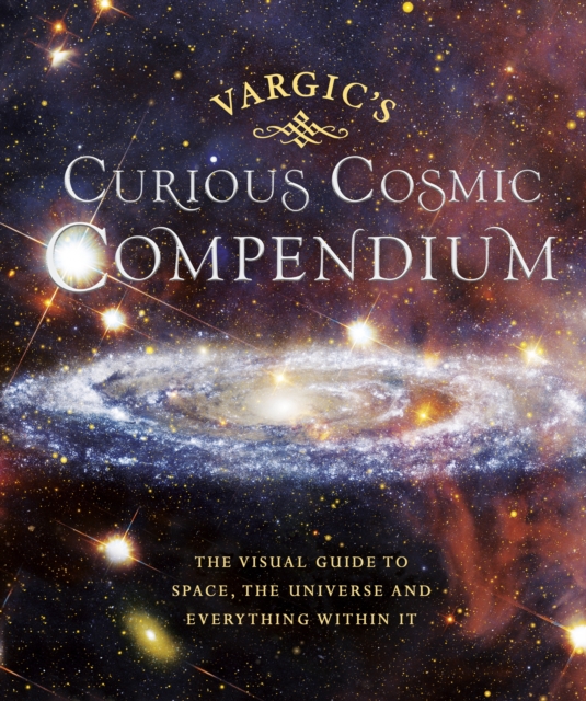
Take a trip to outer space with this weird and wonderful guide to our universe, the perfect gift for both young and old Vargic's beautifully innovative designs will help to explain all of the bizarre and fascinating aspects of the cosmos; from the history of the universe to what makes up our solar system and even how human life fits into the wider picture.
A first-time skywatcher's guide from bright new talent, BBC Blue Peter astronomer, Anton VamplewMost books on stargazing claim to be for beginners, but by page 12 are talking about celestial equators and sidereal months.
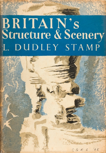
Britains Structure and Scenery deals with the physical background, the stage on which the drama of life is played and which provides the fundamental environment for plants, newnaturalists.
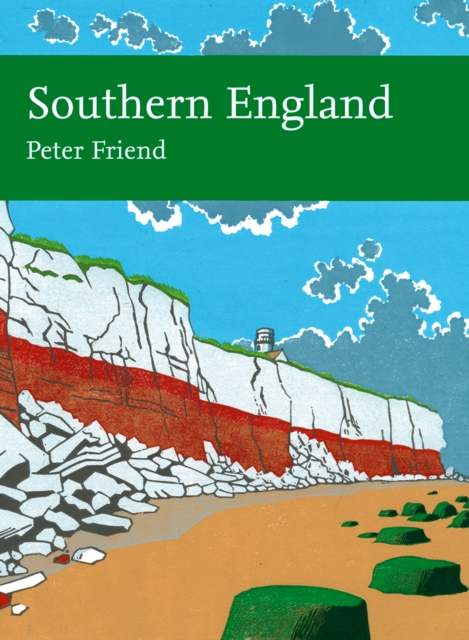
Illustrated with beautifully detailed photographs throughout, New Naturalist Southern England comprehensively explores the formation of these wonderful landscapes that are so universally admired.
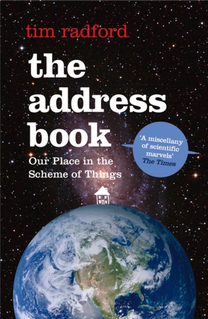
Over the years, millions of school children must have written out their address in the same way - their house number and street, their town, their country, their continent, planet Earth, the universe.
The definitive illustrated guide to modern British architecture, from one of the most acclaimed critics at work todayModernism is now a century old, and its consequences are all around us, built into our everyday lived environments.
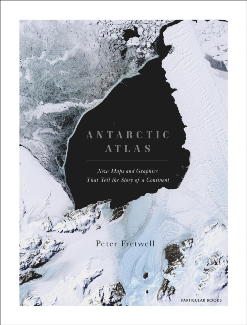
A FINANCIAL TIMES BOOK OF THE YEAR 2020SHORTLISTED FOR THE ESTWA AWARD FOR ILLUSTRATED TRAVEL BOOK OF THE YEAR 2022One of the least-known places on the planet, the only continent on earth with no indigenous population, Antarctica is a world apart.