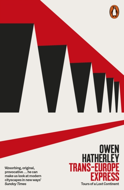
'A scathing, lively and timely look at the "e;European city"e;, from one of our most provocative voices on culture and architecture today' Owen JonesA searching, timely account of the condition of contemporary Europe, told through the landscapes of its citiesOver the past twenty years European cities have become the envy of the world: a Kraftwerk Utopia of historic centres, supermodernist concert halls, imaginative public spaces and futuristic egalitarian housing estates which, interconnected by high-speed trains traversing open borders, have a combination of order and pleasure which is exceptionally unusual elsewhere.
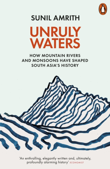
A bold new perspective on the history of South Asia, telling its story through its climate, and the long quest to tame its watersSouth Asia's history has been shaped by its waters.
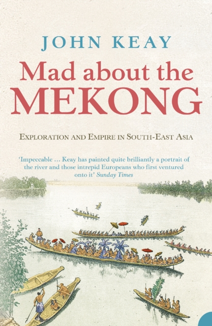
The story of both a dramatic journey retracing the historic voyage of France's greatest 19th-century explorer up the mysterious Mekong river, and a portrait of the river and its peoples today.
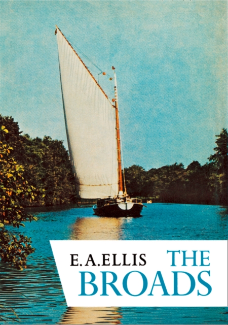
Another volume in the popular New Naturalist series, this book gives a comprehensive account of the natural history of Britain and Ireland's inland waters, many of which are popular holiday destinations.
A definitive natural history of the Yorkshire Dales, covering the range of wildlife habitats, rich cultural heritage and ecological history of one of our best-loved National Parks.
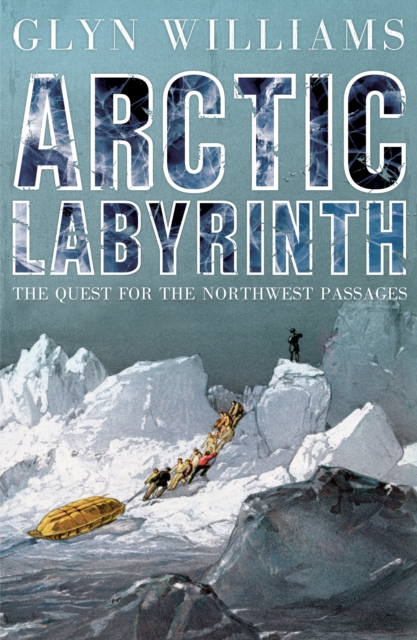
For centuries British navigators dreamt of finding the Northwest Passage - the route over the top of North America that would open up the fabulous wealth of Asia to British merchants.
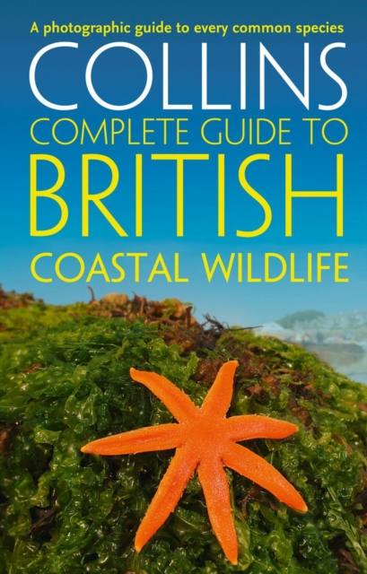
Discover over 1,200 species of animals and plants found in the coastal regions of Britain and make the most of your surroundings, whether you are on a holiday browse or serious quest.
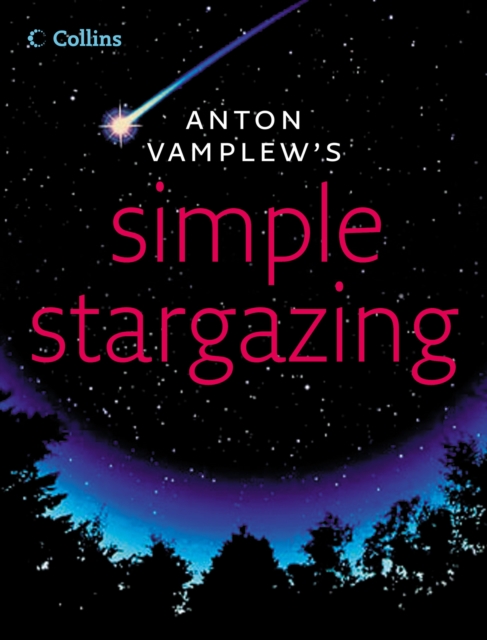
A first-time skywatcher's guide from bright new talent, BBC Blue Peter astronomer, Anton VamplewMost books on stargazing claim to be for beginners, but by page 12 are talking about celestial equators and sidereal months.
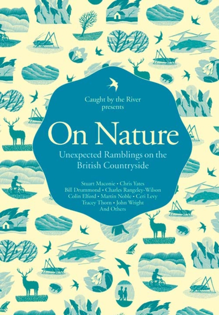
A diverse and entertaining collection of writing examining and celebrating the British Countryside, from falconry to foraging and from the musings of a nighttime angler to tips for seasonal drinking.
A definitive natural history of the Wye Valley covering the geology, geomorphology, conservation and ecological history of this diverse area of outstanding natural beauty.
Mike Parker, bestselling author of Map Addict, offers a very full, intelligent and witty exploration into a glorious and passionate British subject - footpaths and the history of land ownership.
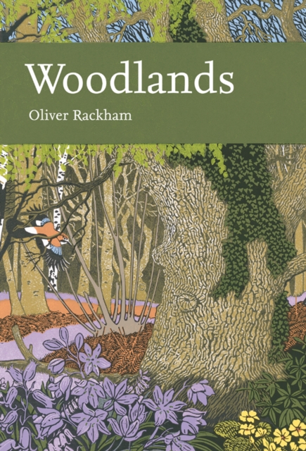
The 100th volume of the prestigious New Naturalist series, written by one of Britain's best-known naturalists, explores the significance and history of woodlands on the British landscape'Trees are wildlife just as deer or primroses are wildlife.
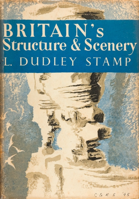
Britains Structure and Scenery deals with the physical background, the stage on which the drama of life is played and which provides the fundamental environment for plants, newnaturalists.
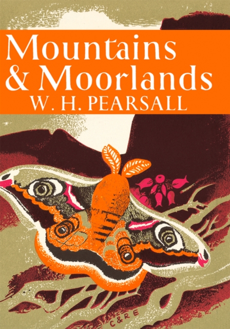
An invaluable introduction to the upland regions of Britain - their structure, climate, vegetation and animal life, their present and past uses and the problems of their conservation for the future.
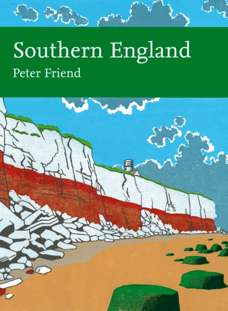
Illustrated with beautifully detailed photographs throughout, New Naturalist Southern England comprehensively explores the formation of these wonderful landscapes that are so universally admired.
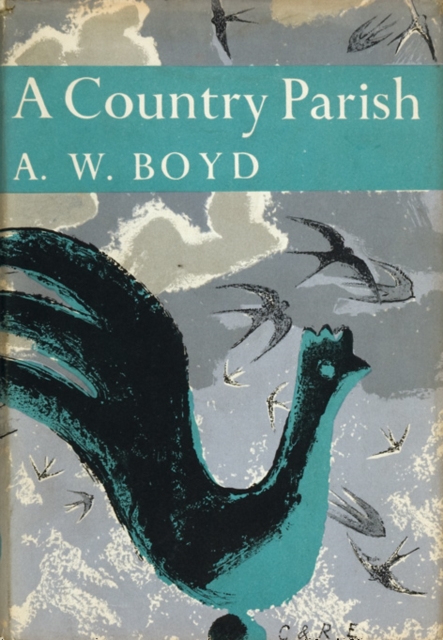
The natural history of an ordinary English country parish was one of the first subjects that suggested themselves when the New Naturalist series was planned.
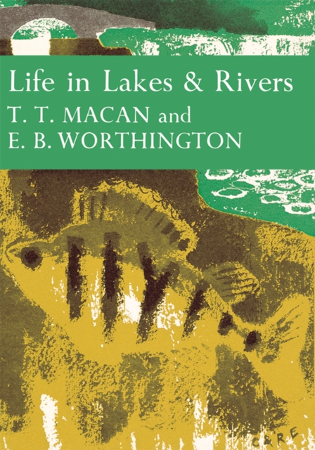
Life in Lakes and Rivers reveals to us not only the fascination of the world of fresh waters, but the excitement and delight of finding out more about it.
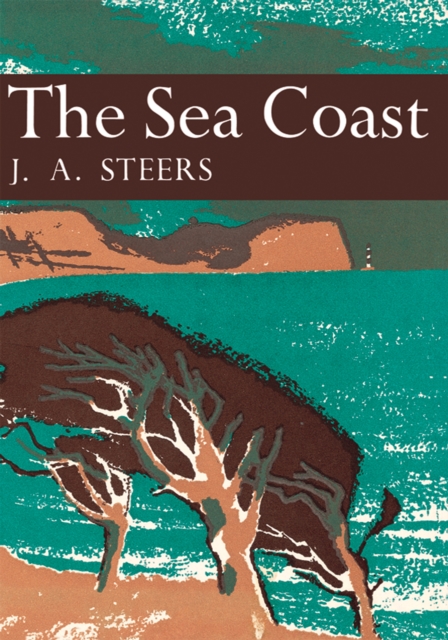
The Sea Coast shows in a persuasive and compelling way the origin and evolution of cliffs, estuaries, sea marshes, sand dunes and the communities of plants and animals that they support.
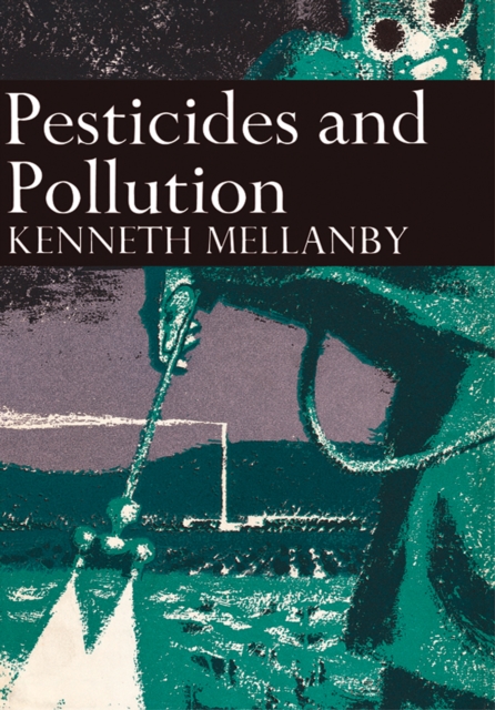
Pesticides and Pollution examines the problems of pollution of air, land, river, and the sea, by herbicides, pesticides, sewage, industrial effluents, gases, radiation, leakages, over-drainage, mistakes and mismanagement, in Britain today.