Bestselling Van Life author Foster Huntington shares his experiences - as well as others - living by his own rules in this aspirational book filled with awe-inspiring photographs of unique homes in unexpected places.
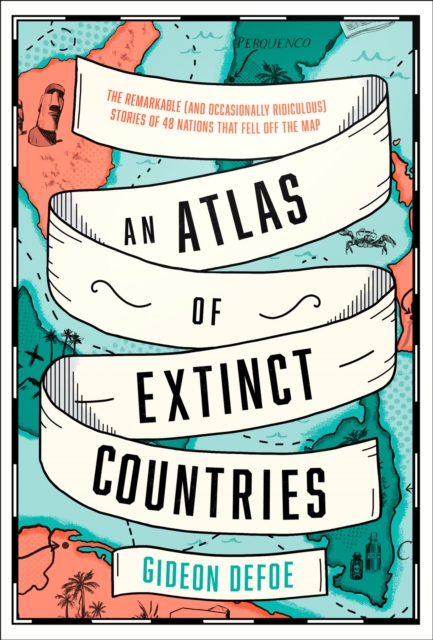
Prisoners of Geography meets Bill Bryson: a funny, fascinating, beautifully illustrated - and timely - history of countries that, for myriad and often ludicrous reasons, no longer exist.
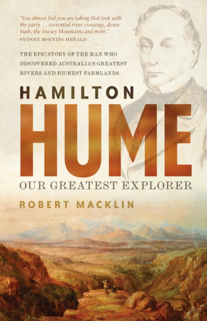
'You almost feel you are taking that trek with the party as Robert Macklin cites the obstacles - torrential river crossings, dense bush, the Snowy Mountains and more.
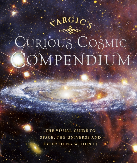
Take a trip to outer space with this weird and wonderful guide to our universe, the perfect gift for both young and old Vargic's beautifully innovative designs will help to explain all of the bizarre and fascinating aspects of the cosmos; from the history of the universe to what makes up our solar system and even how human life fits into the wider picture.
On October 23, 1852, Professor Augustus De Morgan wrote a letter to a colleague, unaware that he was launching one of the most famous mathematical conundrums in history--one that would confound thousands of puzzlers for more than a century.
A comprehensive, richly illustrated guide to Japan's astonishing animals and plants-and the natural forces that have shaped themThis richly illustrated guide is the first comprehensive and accessible introduction to the extraordinary natural history of the Japanese archipelago.
The little-known history of how the Sahara was transformed from a green and fertile land into the largest hot desert in the worldThe Sahara is the largest hot desert in the world, equal in size to China or the United States.
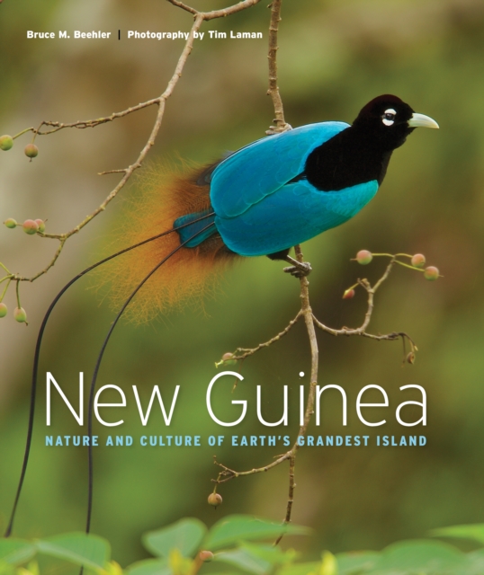
An enthralling exploration of the biologically richest island on Earth, featuring more than 200 spectacular color images by award-winning National Geographic photographer Tim LamanIn this beautiful book, Bruce Beehler, a renowned author and expert on New Guinea, and award-winning National Geographic photographer Tim Laman take the reader on an unforgettable journey through the natural and cultural wonders of the world's grandest island.
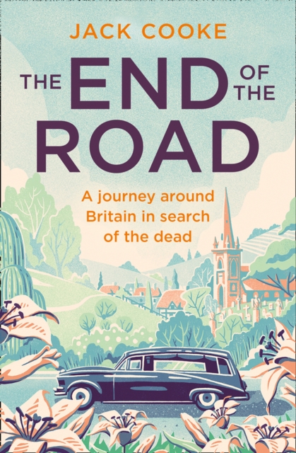
A wonderfully quixotic, charming and surprisingly uplifting travelogue which sees Jack Cooke, author of the much-loved The Treeclimbers Guide, drive around the British Isles in a clapped-out forty-year old hearse in search of famous - and not so famous - tombs, graves and burial sites.
A moving, eye-opening polemic about the US-Mexico border and what happens to the tens of thousands of unaccompanied Mexican and Central American children arriving in the US without papers'We are driving across Oklahoma in early June when we first hear about the waves of children arriving, alone and undocumented, from Mexico and Central America.
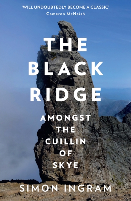
'Will undoubtedly become a classic narrative of this scenically magnificent, legend-rich and geologically unique part of Scotland' Cameron McNeish, The HeraldRising a kilometre out of the storm-scoured waters around Scotland's Isle of Skye is a dark battlement of pinnacles and ridgelines: the Cuillin.
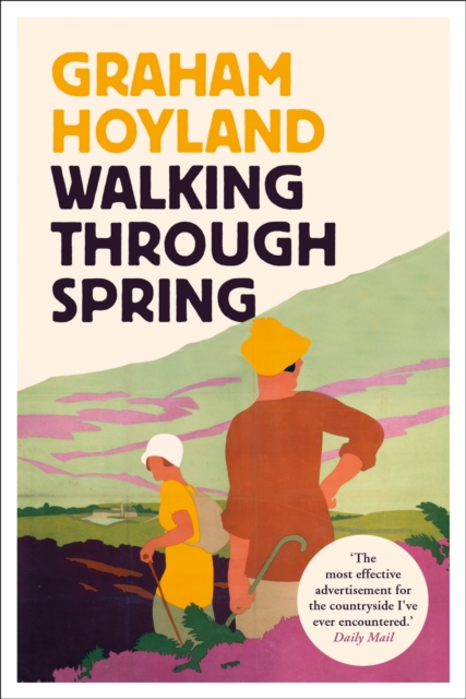
'The most effective advertisement for the countryside I've ever encountered' Daily MailWalking Through Spring follows Graham Hoyland's journey as he traces a new national trail, walking north with Spring from the South Coast to the Borders.
'Never for me the lowered banner, never the last endeavour' SIR ERNEST SHACKLETONAPRIL 1916:After his ship Endurance was crushed by Antarctic ice and now trapped on a small inhospitable island, cut off from all hope of help, with winter approaching, Sir Ernest Shackleton made the fateful decision to attempt a risky, almost foolhardy voyage across the wild Southern Ocean to South Georgia with five of his men.
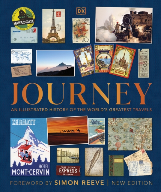
From the earliest migrations to the dawn of space tourism, experience the excitement of travel throughout the ages in this gloriously illustrated book!
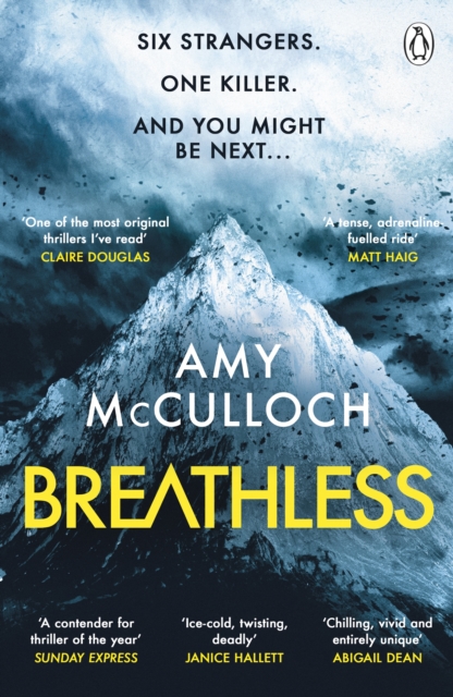
THE CHILLING AND EXHILARATING WATERSTONES THRILLER OF THE MONTHSUNDAY TIMES CRIME BOOK OF THE MONTHTHERE'S A KILLER ON THE MOUNTAIN - AND YOU MIGHT BE NEXT .
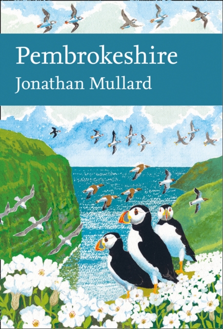
This lushly illustrated and fully comprehensive book about the wildlife, landscapes and history of Pembrokeshire is a much-anticipated addition to the New Naturalist series, and reveals the incredible wealth of biodiversity present in the region.
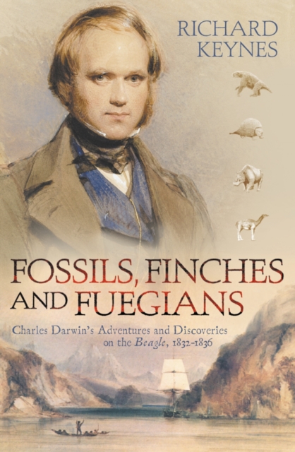
A narrative account of Darwin's historic 4-year voyage on the Beagle to South America, Australia and the Pacific in the 1830s that combines the adventure and excitement of Alan Moorehead's famous (and now out of print) account with an expert assessment of the scientific discoveries of that journey.
Travelling the circumference of the truly gigantic Pacific, Simon Winchester tells the story of the world's largest body of water, and - in matters economic, political and military - the ocean of the future.
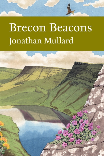
The first comprehensive book to be published about the wildlife of the Brecon Beacons is a much-anticipated addition to the New Naturalist series, and reveals the natural wonders of this seemingly wild and inhospitable mountain landscape.
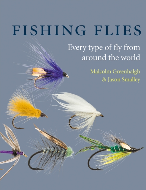
The most complete guide to fishing fliesDescribes every type of fly - freshwater and saltwaterCovers flies from around the worldEvery fly is illustrated with a specially taken photographFlies are tied by some of the world's most famous fly-tiersCollins Fishing Flies is the encyclopaedic guide to the huge range of flies now being used by the modern fly-fisherman, whether they are fishing for the traditional quarry of salmon and trout, chasing bonefish on the tropical flats of the Caribbean, or stalking pike in the cold fens of East Anglia, and everything in between.