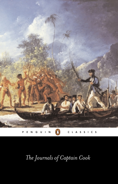
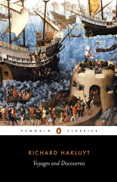
Renaissance diplomat and part-time spy, William Hakluyt was also England's first serious geographer, gathering together a wealth of accounts about the wide-ranging travels and discoveries of the sixteenth-century English.
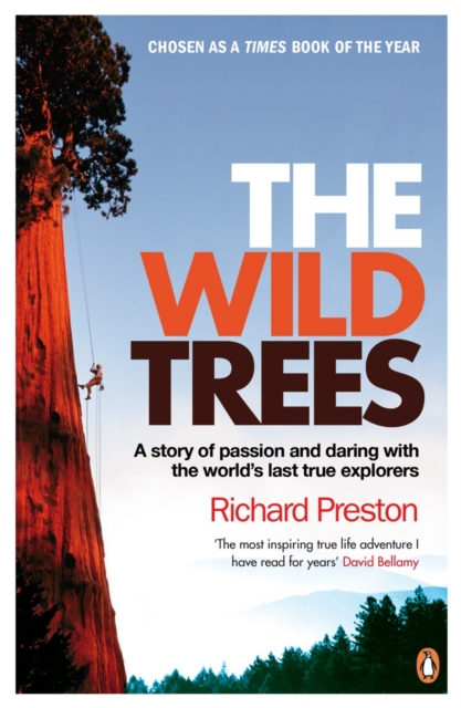
When Steve Sillett was 19 years old, he free-climbed with no safety equipment and no training one of the tallest trees on earth, in the redwood forests of Prairie Creek, California.
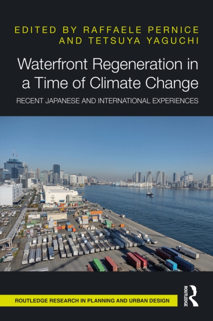
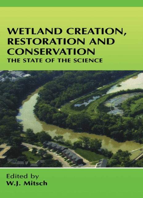
The current climate crisis and the rapid transformation of the natural environments will inevitably pose a threat to human settlements around the world.
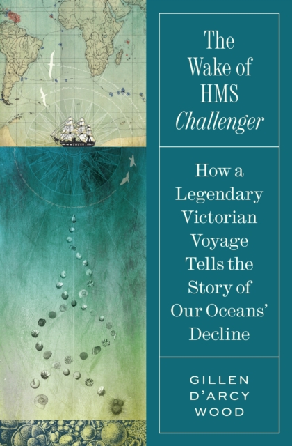
A scientific adventure story that dramatizes how profoundly our oceans have changed over the past 150 yearsIn December 1872, HMS Challenger embarked on the first round-the-world oceanographic expedition.
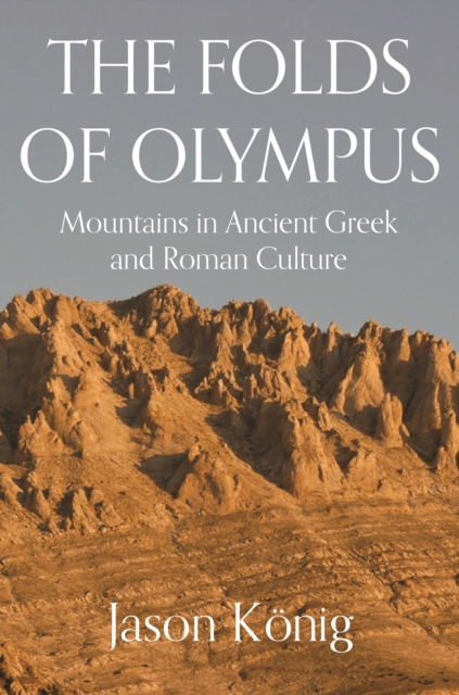
A cultural and literary history of mountains in classical antiquityThe mountainous character of the Mediterranean was a crucial factor in the history of the ancient Greek and Roman world.
How technological advances and colonial fears inspired utopian geoengineering projects during the late nineteenth and early twentieth centuries From the 1870s to the mid-twentieth century, European explorers, climatologists, colonial officials, and planners were avidly interested in large-scale projects that might actively alter the climate.
Critical legal geography is practised by an increasing number of scholars in various disciplines, but it has not had the benefit of an overarching theoretical framework that might overcome its currently rather ad hoc character.
How the optimism gap between rich and poor is creating an increasingly divided societyThe Declaration of Independence states that all people are endowed with certain unalienable rights, and that among these is the pursuit of happiness.
Why our cats are a danger to species diversity and human healthIn 1894, a lighthouse keeper named David Lyall arrived on Stephens Island off New Zealand with a cat named Tibbles.
A Nobel Prizewinning economist makes a new argument about the real roots of prosperityand why they are under threat todayIn this book, Nobel Prize-winning economist Edmund Phelps draws on a lifetime of thinking to make a sweeping new argument about what makes nations prosperand why the sources of that prosperity are under threat today.
On October 23, 1852, Professor Augustus De Morgan wrote a letter to a colleague, unaware that he was launching one of the most famous mathematical conundrums in history--one that would confound thousands of puzzlers for more than a century.
Advanced Remote Sensing is an application-based reference that provides a single source of mathematical concepts necessary for remote sensing data gathering and assimilation.
From Nobel Prizewinning economist Joel Mokyr, a revealing look at why Enlightenment culture sparked the Industrial RevolutionDuring the late eighteenth century, innovations in Europe triggered the Industrial Revolution and the sustained economic progress that spread across the globe.
Geospatial data acquisition and analysis techniques have experienced tremendous growth in the last few years, providing an opportunity to solve previously unsolved environmental- and natural resource-related problems.
Understanding GIS through Sustainable Development Goals applies a pedagogical shift to learning GIS, as the readers employ the concepts and methodologies on real-world problems.
Understanding GIS through Sustainable Development Goals applies a pedagogical shift to learning GIS, as the readers employ the concepts and methodologies on real-world problems.
The alpine treeline ecotone (ATE) is an area of transition high on mountains where closed canopy forests from lower elevations give way to the open alpine tundra and rocky expanses above.
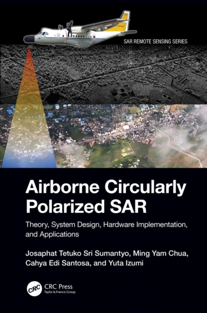
A comprehensive resource on airborne synthetic aperture radar (SAR) systems, Airborne Circularly Polarized SAR explains the theory, system design, hardware and software, and applications of airborne circularly polarized SAR in environmental monitoring and other uses.
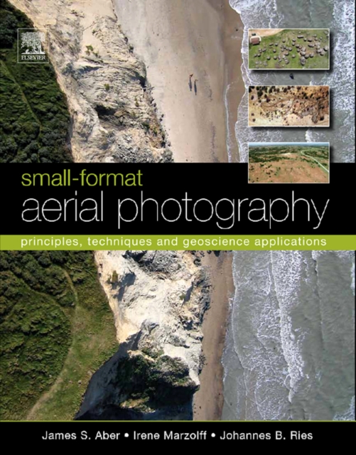
As the need for geographical data rapidly expands in the 21st century, so too do applications of small-format aerial photography for a wide range of scientific, commercial and governmental purposes.
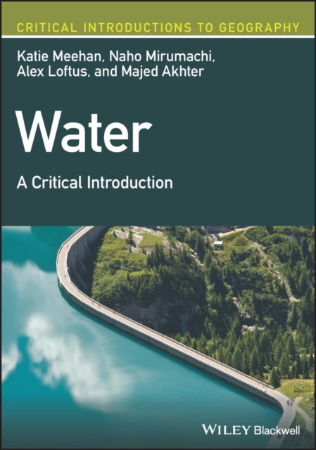
Discover the hydrosocial cycle and the impact of power, knowledge, and scarcity on water rights and use through this engaging and student-friendly textbook In Water: A Critical Introduction, a team of distinguished researchers delivers an expert examination of our most pressing water-related challenges, arguing that flows of water are shaped by social practices and geometries of power.
Routledge Handbook on Labour in Construction and Human Settlements presents a detailed and comprehensive examination of the relationship between labour and the built environment, and synergises these critical focus areas in innovative ways.
This is a tale of human obsession, one intrepid tuna, the dedicated fisherman who caught and set her free, the promises and limits of ocean science and the big truth of how our insatiable appetite for bluefin transformed a cottage industry into a global dilemma.
Phenomenological Perspectives on Place, Lifeworlds and Lived Emplacement is a compilation of seventeen previously published articles and chapters by David Seamon, one of the foremost researchers in environmental, architectural, and place phenomenology.
Folklore, People and Place is a contribution towards better understanding the complex interconnectivity of folklore, people and place, across a range of different cultural and geographical contexts.
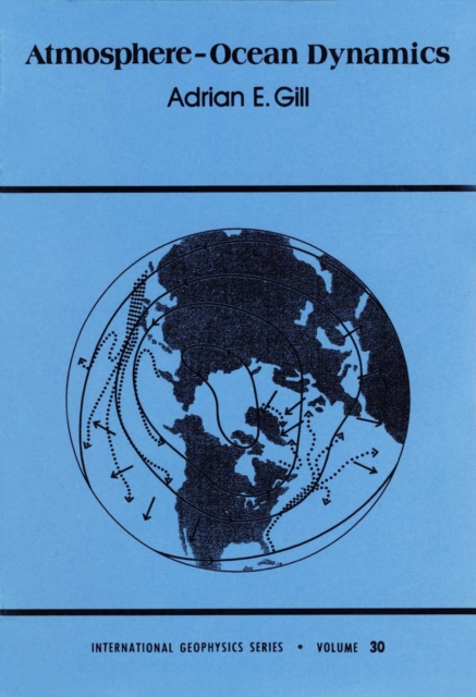
A systematic, unifying approach to the dynamics of the ocean and atmosphere is given in this book, with emphasis on the larger-scale motions (from a few kilometers to global scale).
Advanced Mathematical Tools for Control Engineers: Volume 1 provides a blend of Matrix and Linear Algebra Theory, Analysis, Differential Equations, Optimization, Optimal and Robust Control.
The mesmerizing, larger-than-life tale of an eccentric adventurer who traversed some of the greatest frontiers of the twentieth century, from uncharted Arctic wastelands to the underground resistance networks of World War II.