This revision maintains the position of Forest Ecosystems as the one source for the latest information on the advanced methods that have enhanced our understating of forest ecosystems.
This volume contains the proceedings from the COSPAR Colloquium on "e;Space Remote Sensing of Subtropical Oceans"e; which took place between 12 and 16 September, 1996, at the Institute of Oceanography of the National Taiwan University.
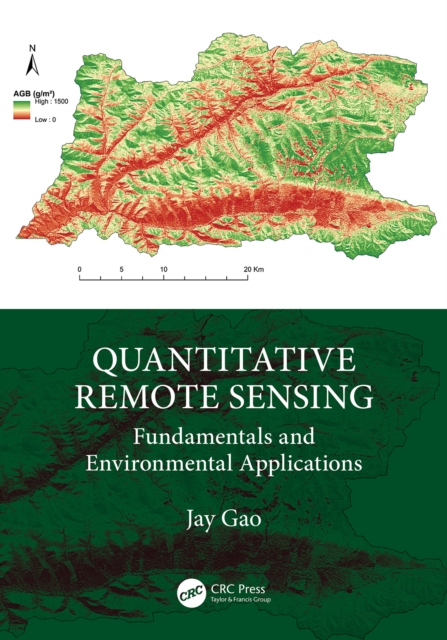
This book provides comprehensive and in-depth explanations of all topics related to quantitative remote sensing and its applications in terrestrial, biospheric, hydrospheric, and atmospheric studies.
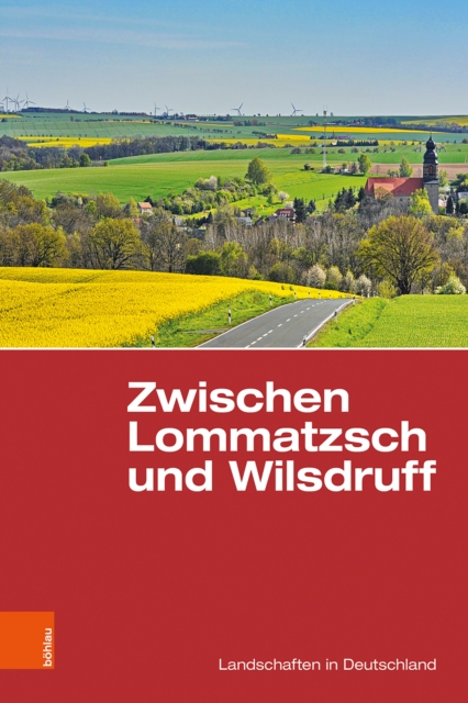
Die Lommatzscher Pflege ist nicht nur die sächsische Kornkammer, sondern ist ebenso wie die angrenzende Wilsdruffer Hochfläche auch archäologischer Hot-Spot und Lebensraum botanischer und zoologischer Raritäten.
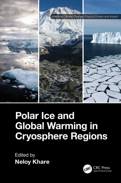
Polar Ice and Global Warming in Cryosphere Regions is based on recent and past climate variabilities data gathered through satellites and spatial-temporal analysis to explain the role of global warming on cryosphere regions such as high-latitude Himalaya, Arctic and Antarctic regions, and the surrounding Southern Ocean and Arctic Ocean.
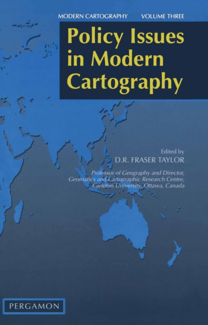
Policy Issues in Modern Cartography contains the views of national mapping agencies, legal scholars, the library community, the private sector and academia on these and many other important issues.
The Global Ocean Observing System (GOOS) is an international programme for a permanent global framework of observations, modelling and analysis of ocean variables that are needed to support operational services around the world.
This second edition retains the general structure of the first edition, buthas been updated in the light of recent oceanographic research, and improvedas a teaching text on the basis of feedback from past students and otherreaders.
Arc welding is one of the key processes in industrial manufacturing, with welders using two types of processes - gas metal arc welding (GMAW) and gas tungsten arc welding (GTAW).
This volume documents the techniques for geochemical remote sensing of the subsurface, to present case-history evidence of their successes and limitations, and to consider their further potential.
Sophisticated interactive maps are increasingly used to explore information - guiding us through data landscapes to provide information and prompt insight and understanding.
This accessible shortform book describes storm surge forecasting to enable port managers and practitioners to forecast these and mitigate their effects.
Theoretical and Applied Solutions in Multi Scale MappingUsers have come to expect instant access to up-to-date geographical information, with global coverage--presented at widely varying levels of detail, as digital and paper products; customisable data that can readily combined with other geographic information.
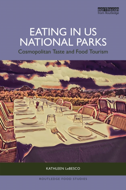
This book presents a fascinating exploration of eating experiences within US national parks, explaining how, on what, and why people eat in national parks and how this has changed over the last century.
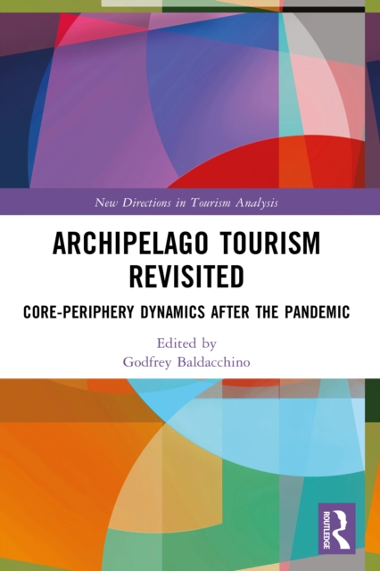
This timely and innovative book explores the dynamics of inter-island/island-island tourism - also known as archipelago tourism - on the cusp of the post-pandemic epoch.
Taking a micro-geographical approach to Israeli-Palestinian relations, this book analyses the history of space and place in West Jerusalem and Jaffa in the context of specific addresses.
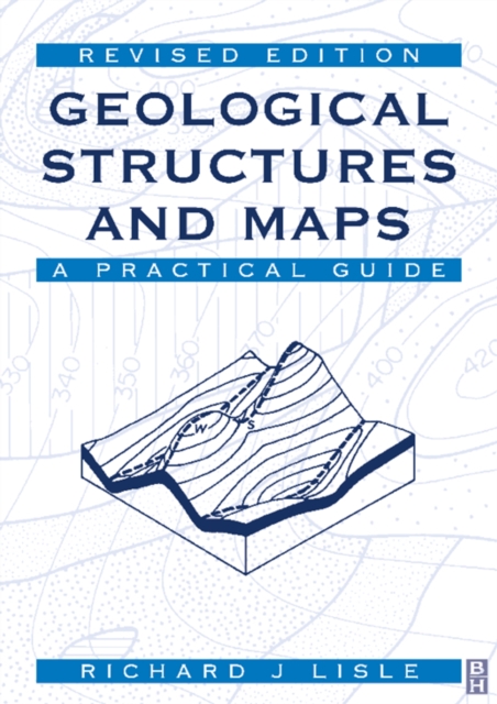
This highly illustrated student guide introduces the skills of interpreting a geological map and relating it to the morphology of the most important types of geological structure.
The Routledge Handbook of Cartographic Humanities offers a vibrant exploration of the intersection and convergence between map studies and the humanities through the multifaceted traditions and inclinations from different disciplinary, geographical and cultural contexts.
In the age of adventure, when dirigibles coasted through the air and vast swaths of the Earth remained untouched and unseen by man, one pack of relentless explorers competed in the race of a lifetime: to be the first aviator to fly over the North Pole.
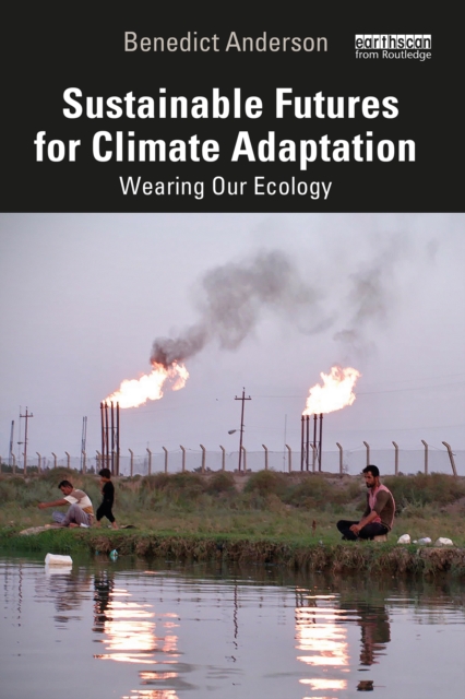
Considering sustainability as a flawed and restrictive term in practice, Sustainable Futures for Climate Adaptation argues that we must radically adapt humanity and reform society, cities, buildings, and our approach to migration in order to coexist in harmony with our natural environments.
Ideas about matters of public concern are shaped by the spaces associated with them: Events occur in particular places, political regulations apply to specific territories, people in different locations are differentially affected by issues.
Wave Fields in Real Media examines the differences between an ideal and a real description of wave propagation, where ideal means an elastic (lossless), isotropic and single-phase medium, and real means an anelastic, anisotropic and multi-phase medium.
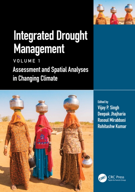
The first volume of this comprehensive global perspective on Integrated Drought Management is focused on understanding drought, causes, and the assessment of drought impacts.
The first volume of this comprehensive global perspective on Integrated Drought Management is focused on understanding drought, causes, and the assessment of drought impacts.
This book enhances the discussion of anthropized soils with photographs of soil profiles and provides general information about soils in Japan, using data on their physical and chemical properties.
Volume IV of the Six Volume Remote Sensing Handbook, Second Edition, is focused on the use of remote sensing in forestry, biodiversity, ecology, land use and land cover, and global terrestrial carbon mapping and monitoring.
The book compiles the main ideas and methodologies that have been proposed and tested within these last fifteen years in the field of Digital Soil Mapping (DSM).