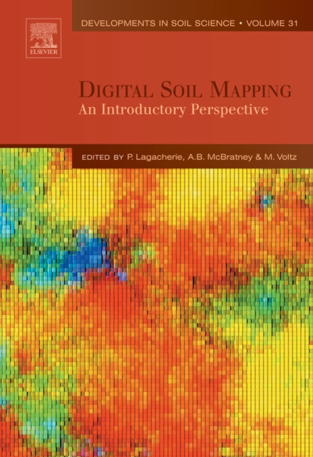
The book compiles the main ideas and methodologies that have been proposed and tested within these last fifteen years in the field of Digital Soil Mapping (DSM).
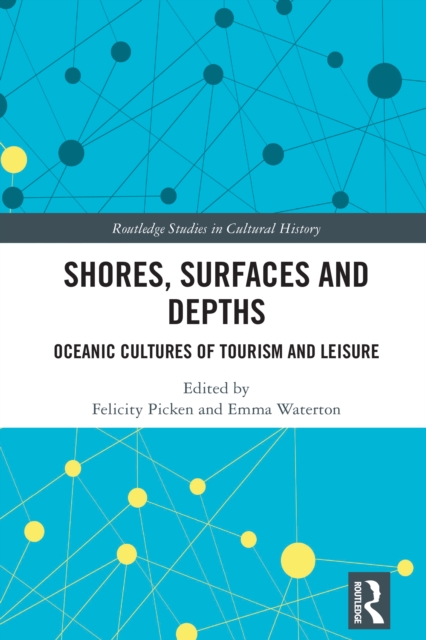
This book examines the oceanic presence in life on Earth, and the ways that we engage with the oceanic worlds for play, pleasure, adventure, and the pursuit of leisure and escape through tourism and travel.
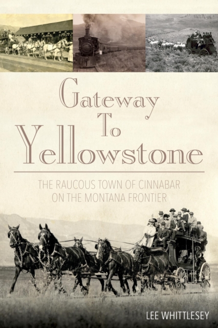
By 1883 when the rail lines of the Northern Pacific reached the tiny town of Cinnabar, Montana Territory, newspaper and magazine stories of the wonders to be found in Yellowstone National Park had been firing the imaginations of eager potential visitors around the world for a decade.
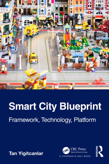
The smart city movement, during the last decade and a half, advocated the built environment and digital technology convergence with the backing of institutional capital and government support.
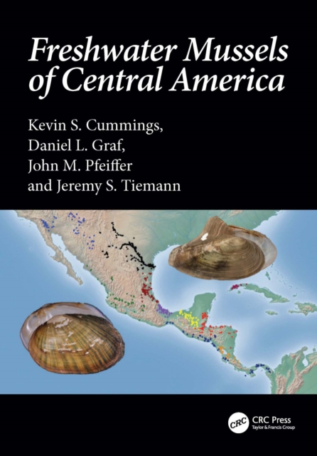
This book describes a fauna of global conservation concern and provides a framework for researchers to begin to test hypotheses regarding the evolution of freshwater mussels in Central America.
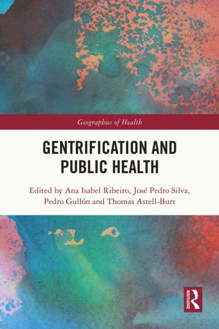
This book explores the profound impacts of gentrification on public health, examining how this process reshapes socioeconomic and physical environments, exacerbates health disparities, and influences lived experiences.
This book explores how resurgent nationalism across the globe demands re-examination of many of the theories and practices in applied linguistics and language teaching as political forces seek to limit the movement of people, goods, and services across national borders and, in some cases, enact violence upon those with linguistic and/or ethnic backgrounds that differ from that of the dominant culture.
This book traces the reception and resettlement of Vietnamese, Cambodians and Laotians in France, Germany, the United Kingdom, the Netherlands and Israel during the 'boat people' crisis of 1975-79.
'EXCELLENT' - THE TLS'HUGELY IMPRESSIVE' - THE INDEPENDENT'AN ASTONISHINGLY FINE HISTORY' - COUNTRY LIFE'FASCINATING' - DAILY MAILThe history of the world's most successful military alliance, from the wrecked Europe of 1945 to Vladimir Putin's invasion of Ukraine.
This book systematically and comprehensively introduces concepts, theories, principles, and applications of Thermal Infrared (TIR) imaging spectral techniques and TIR remote sensing.
This book details the transformation processes that impinge on constitutionally ordained governance by drawing on the new theoretical approaches in the urban sciences.
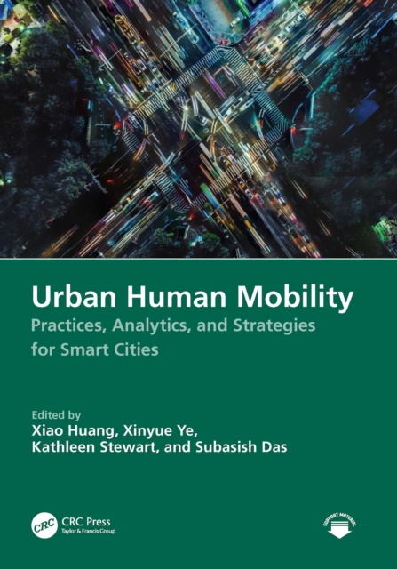
This comprehensive handbook covers human mobility within urban contexts, integrating academic theories with pragmatic insights and offering a detailed analysis of the diverse facets of human mobility and its substantial impact on the urban landscape, economy, and societal structures.