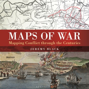
There is little documented mapping of conflict prior to the Renaissance period, but, from the 17th century onwards, military commanders and strategists began to document the wars in which they were involved and later, to use mapping to actually plan the progress of a conflict.
There is little documented mapping of conflict prior to the Renaissance period, but, from the 17th century onwards, military commanders and strategists began to document the wars in which they were involved and later, to use mapping to actually plan the progress of a conflict.
Remarkable Treks is a compendium of exhilarating long-distance walks from around the planet - some lasting weeks, some lasting just a few days, but all of them set against spectacular backdrops.
'Britain is full of amazing pubs and this man will guide you to the very best' Phil CarrAfter spontaneously hosting a birthday pub crawl through London's finest alehouses, Thomas J.
Dieser aktuelle Reiseführer ist der ideale Begleiter, um alle Seiten der größten griechischen Insel selbstständig zu entdecken:- Die interessantesten Orte, Sehenswürdigkeiten und Attraktionen ausführlich vorgestellt und bewertet- Die schönsten Strände rund um die Insel- Die besten Hotspots zum Schnorcheln und Tauchen, Wasserskifahren, Surfen u.
Dieser aktuelle Reiseführer ist der ideale Begleiter, um alle Seiten der größten griechischen Insel selbstständig zu entdecken:- Die interessantesten Orte, Sehenswürdigkeiten und Attraktionen ausführlich vorgestellt und bewertet- Die schönsten Strände rund um die Insel- Die besten Hotspots zum Schnorcheln und Tauchen, Wasserskifahren, Surfen u.
"e;This is such a great book for primary school age children and a little beyond for finding out about the world, its countries and people"e; Amazon customer review- Philip's atlas, designed specially to use at home and at school with guidance for parents and teachers- Clear maps and fascinating facts bring geography to life for readers aged 7-12- Published by Philip's in association with the Royal Geographical Society- Quizzes, activity ideas and puzzles to make learning fun- Past winner of the Geographical Association's award for making a significant contribution to geographyThe atlas is organized spread by spread in the classic sequence: first Europe, then its land neighbour Asia, followed by Africa, Australia and Oceania, North America and South America.
Begin an unforgettable journey along the Camino de Santiago: Camino Francs, one of the classic routes of the Way of St James, crossing northern Spain from Saint-Jean-Pied-de-Port in the French Pyrenees to Santiago de Compostela in Galicia.
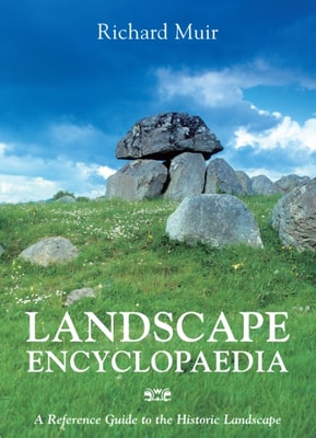
An Atlas of Northamptonshire presents an historical atlas of the greater part of Northamptonshire (the first quarter having been published as An Atlas of Rockingham Forest).
An Atlas of Northamptonshire presents an historical atlas of the greater part of Northamptonshire (the first quarter having been published as An Atlas of Rockingham Forest).
Inspiring urban explorers and armchair travellers alike to consider a new way of understanding the world we live in, this unique atlas shows you the modern world from surprising new vantage points.
Blessed with glorious beaches, spectacular mountain ranges and lush, green rainforest, Puerto Rico offers fantastic outdoor activities, cultural sights, plus great food and music.
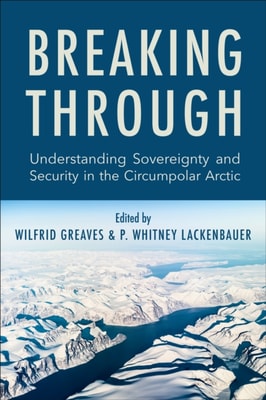
Globalization, climate change, and increased geopolitical competition are having a profound impact on the Arctic, affecting how we understand both sovereignty and security within the region.
Globalization, climate change, and increased geopolitical competition are having a profound impact on the Arctic, affecting how we understand both sovereignty and security within the region.
Coinciding with the 80th anniversary of the outbreak of World War II, this stunning collection of cartography offers a detailed insight into the German Blitzkrieg that overran Europe in the early years of World War II.
A magnificent visual survey of how conflict was recorded and planned, using maps produced at the time to reveal how warfare and its documentation has changed through the centuries.
A magnificent visual survey of how conflict was recorded and planned, using maps produced at the time to reveal how warfare and its documentation has changed through the centuries.
Featuring scores of painstakingly researched and intricately detailed maps, this stunning, luxuriously bound book displays and explains the campaigns on the most famous theatre of war in history the European Theatre of World War II.
Since the beginning of the twentieth century, Toronto’s Kensington Market neighbourhood has been home to a multicultural mosaic of immigrant communities: Jewish, Portuguese, Chinese, South Asian, Caribbean, and many others.
Since the beginning of the twentieth century, Toronto’s Kensington Market neighbourhood has been home to a multicultural mosaic of immigrant communities: Jewish, Portuguese, Chinese, South Asian, Caribbean, and many others.
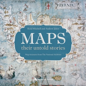
A map is a snapshot of a place, a city, a nation or even the world at a given point in time - fascinating for what they tell us about the way our ancestors saw themselves, their neighbours and their place in the world.
A map is a snapshot of a place, a city, a nation or even the world at a given point in time - fascinating for what they tell us about the way our ancestors saw themselves, their neighbours and their place in the world.
For the first time in a single volume, this book brings together more than 150 of the best walks, tracks or trails in Victoria, which can be walked, cycled or driven by the moderately fit individual.
The Atlas of the Ethno-Political History of the Caucasus is a magnificent collection of fifty-six original maps with commentaries that detail the ethnic, religious, and linguistic makeup of the Caucasus—the region located between the Black and Caspian Seas that contains Europe’s highest mountain—from the eighteenth century to the present.
Have the world at your fingertips with this invaluable compact atlasFrom the African plains to the Himalayan heights, over 60 easy-to-read maps uncover the world's continents, regions and countries in astonishing clarity in the 5th edition of the Compact World Atlas.