Introduction to Satellite Remote Sensing: Atmosphere, Ocean and Land Applications is the first reference book to cover ocean applications, atmospheric applications, and land applications of remote sensing.
Data Assimilation for the Geosciences: From Theory to Application brings together all of the mathematical,statistical, and probability background knowledge needed to formulate data assimilation systems in one place.
Archaeological Geophysics for Ephemeral Human Occupations: Focusing on the Small-Scale combines technological advances in near-surface geophysics with recent archaeological scholarship and underlying archaeological premises to provide a practical manual for guiding archaeo-geophysical research design.
Proterozoic Orogens of India: A Critical Window to Gondwana provides a unique opportunity to understand a cross-section of the well-exposed and best-studied part of Earth's crust and the processes of continental collision.
Volatiles in the Martian Crust is a vital reference for future missions - including ESA's EXO Mars and NASA's Mars2020 rover - looking for evidence of life on Mars and the potential for habitability and human exploration of the Martian crust.
Basic Principles of Induction Logging provides geoscientists with the information required to survey the electrical conductivity of rocks surrounding a borehole.
Electromagnetic Geothermometry explores, presents and explains the new technique of temperature estimation within the Earth's interior; the Electromagnetic technique will identify zones of geothermal anomalies and thus provides locations for deep drilling.
The critically acclaimed serialized review journal for over 50 years, Advances in Geophysics is a highly respected publication in the field of geophysics.
Geological Controls for Gas Hydrate Formations and Unconventionals tells the story of unconventional hydrocarbon resources, especially gas hydrates, tight gas, shale gas, liquid- rich shale, and shale oil, to future generations.
Reservoir Formation Damage, Third Edition, provides the latest information on the economic problems that can occur during various phases of oil and gas recovery from subsurface reservoirs, including production, drilling, hydraulic fracturing, and workover operations.
Seismic Wave Analysis for Near Surface Applications presents the foundational tools necessary to properly analyze surface waves acquired according to both active and passive techniques.
The critically acclaimed serialized review journal for over 50 years, Advances in Geophysics is a highly respected publication in the field of geophysics.
Authored by a world-renowned aerial photography and remote sensing expert, Geographic Aerial Photography: Identifying Earth-Surface Hazards Through Image Interpretation is the most practical and authoritative reference available for any professional or student looking for a reference on how to recognize, analyze, interpret and avoid - or successfully plan for - dangerous contingencies.
This book discusses in detail the facts and findings related to the X-Press Pearl container vessel accident that occurred in May 2021 off the coast of Colombo, Sri Lanka.
This book discusses in detail the facts and findings related to the X-Press Pearl container vessel accident that occurred in May 2021 off the coast of Colombo, Sri Lanka.
This book presents the state-of-the-art of optical remote sensing applied for the generation of marine climate-quality data products, with contributions by international experts in the field.
Since 1984, Geophysical Data Analysis has filled the need for a short, concise reference on inverse theory for individuals who have an intermediate background in science and mathematics.
Advanced Remote Sensing is an application-based reference that provides a single source of mathematical concepts necessary for remote sensing data gathering and assimilation.
The devastating impacts of tsunamis have received increased focus since the Indian Ocean tsunami of 2004, the most destructive tsunami in over 400 years of recorded history.
Parameter Estimation and Inverse Problems, Second Edition provides geoscience students and professionals with answers to common questions like how one can derive a physical model from a finite set of observations containing errors, and how one may determine the quality of such a model.
The critically acclaimed serialized review journal for over 50 years, Advances in Geophysics is a highly respected publication in the field of geophysics.
The critically acclaimed serialized review journal for over 50 years, Advances in Geophysics is a highly respected publication in the field of geophysics.
Hyperspectral Remote Sensing: Theory and Applications offers the latest information on the techniques, advances and wide-ranging applications of hyperspectral remote sensing, such as forestry, agriculture, water resources, soil and geology, among others.
Active Geophysical Monitoring, Second Edition, presents a key method for studying time-evolving structures and states in the tectonically active Earth's lithosphere.
Everyday Applied Geophysics 2: Electromagnetics and Magnetics covers the physical methods permitting the environmental exploration of the sub-surface in 1, 2, 3 or 4 dimensions (the latter for time-lapse in terms of physical environmental state and geometry).
Authored by a world-renowned aerial photography and remote sensing expert, Geographic Aerial Photography: Identifying Earth-Surface Hazards Through Image Interpretation is the most practical and authoritative reference available for any professional or student looking for a reference on how to recognize, analyze, interpret and avoid - or successfully plan for - dangerous contingencies.
Everyday Applied Geophysics 1 covers the physical methods permitting the environmental exploration of the sub-surface in 1, 2, 3 or 4 dimensions (the last is for time-lapse in terms of physical environmental state and geometry).
The interpretation of geophysical data in exploration geophysics, well logging, engineering, mining and environmental geophysics requires knowledge of the physical properties of rocks and their correlations.
Geological Controls for Gas Hydrate Formations and Unconventionals tells the story of unconventional hydrocarbon resources, especially gas hydrates, tight gas, shale gas, liquid- rich shale, and shale oil, to future generations.
Modeling of Resistivity and Acoustic Borehole Logging Measurements Using Finite Element Methods provides a comprehensive review of different resistivity and sonic logging instruments used within the oil industry, along with precise and solid mathematical descriptions of the physical equations and corresponding FE formulations that govern these measurements.
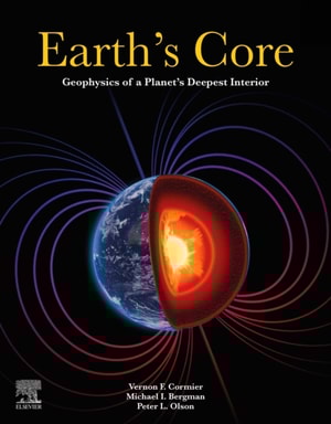
Earth's Core: Geophysics of a Planet's Deepest Interior provides a multidisciplinary approach to Earth's core, including seismology, mineral physics, geomagnetism, and geodynamics.
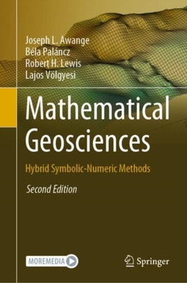
This second edition of Mathematical Geosciences book adds five new topics: Solution equations with uncertainty, which proposes two novel methods for solving nonlinear geodetic equations as stochastic variables when the parameters of these equations have uncertainty characterized by probability distribution.
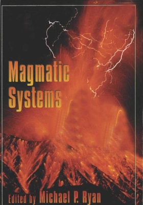
With its integrated and cohesive coverage of the current research, Magmatic Systems skillfully explores the physical processes, mechanics, and dynamics of volcanism.
For advanced undergraduate and beginning graduate students in atmospheric, oceanic, and climate science, Atmosphere, Ocean and Climate Dynamics is an introductory textbook on the circulations of the atmosphere and ocean and their interaction, with an emphasis on global scales.
The critically acclaimed serialized review journal for over 50 years, Advances in Geophysics is a highly respected publication in the field of geophysics.
The critically acclaimed serialized review journal for over 50 years, Advances in Geophysics is a highly respected publication in the field of geophysics.
Magnetic methods are widely used in exploration, engineering, borehole and global geophysics, and the subjects of this book are the physical and mathematical principles of these methods regardless of the area of application.
During the past few decades, deep-sea research benefited greatly from a number of newly developed, highly sophisticated exploration techniques and comprehensive datasets, thanks to the immense industrial interest in deep-sea sediments.
Geochemical Anomaly and Mineral Prospectivity Mapping in GIS documents and explains, in three parts, geochemical anomaly and mineral prospectivity mapping by using a geographic information system (GIS).
Introduction to Geophysical Fluid Dynamics provides an introductory-level exploration of geophysical fluid dynamics (GFD), the principles governing air and water flows on large terrestrial scales.