THE SUNDAY TIMES BESTSELLER'It's hard not to be persuaded by Bradbury's enthusiasm and positivity' THE TIMESJoin Julia Bradbury as she leads you through the walk of our lifetimes.
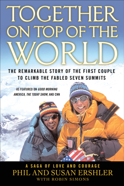
The first couple to climb the world's seven summits tells their remarkable story of adventure, love and courage in the face of overwhelming challenges.
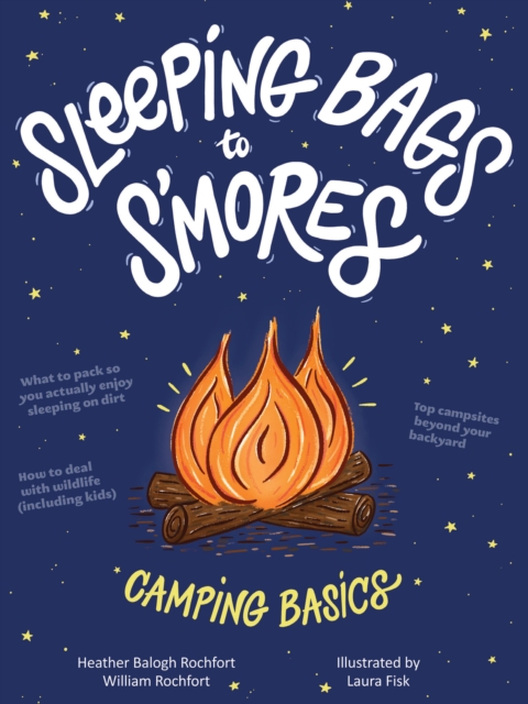
From choosing a destination and staying safe to what to cook and doing it on a budget, this guide provides fun advice for tent camping, car camping, and backpacking.
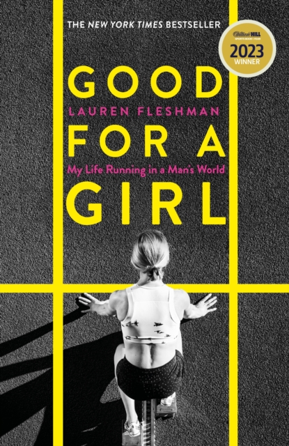
WINNER OF THE WILLIAM HILL SPORTS BOOK OF THE YEAR AWARD 2023A NEW YORK TIMES BESTSELLERA FINANCIAL TIMES BEST BOOK OF THE YEAR 2023Good for a Girl is a joyful love letter to the running life, a raw personal narrative of growth and change, and gives voice to the often-silent experience of the female athleteLauren Fleshman was of the most decorated collegiate athletes of all time and a national champion as a pro, before becoming a coach for elite young female runners.
Drawing on Baden-Powell's extensive archive, Playing the Game is a rich and evocative selection of his writings, on peace - a major theme throughout his career and the theme of the 2007 centenary celebrations, on his own life, from his wonderfull idiosyncratic anecdotal autobiography and includes a healthy sprinkling of some of BP's more memorable aphorisms, such as 'I don't mind confessing I have a weakness for hippos' and 'The man who holds the average boy's attention for more than seven minutes is a genius', not to mention 'Knowledge without character is mere pie-crust'.
No one could fail to be gripped by his heartfelt excitement and emotion over what was the adventure of a lifetime' - IndependentAt the age of 23, a young challenger named Bear Grylls set out to defy nature's mightiest peak, Mount Everest.
Jon Krakauer's Into the Wild delves into the true story of Chris McCandless, a young man who left society behind to tread an uncharted path into the heart of the Alaskan wilderness.
'You'd have to have a heart of stone not to be touched by Kate's enthusiasm for her new way of life' - Daily MailIn 2007, after 20 years of living in London, Kate Humble and her husband Ludo decided it was time to leave city life behind them.
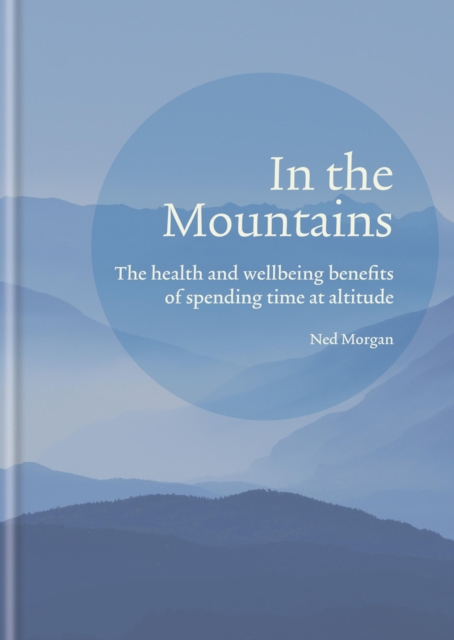
Mountains have forever been steeped in poetry, symbolism and mystery, inspiring everyone from the explorers who wish to scale every peak to those who wish to walk in the valleys, ski the slopes or take in the crisp air and feel renewed once more.
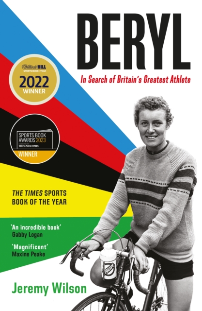
Winner of the Sunday Times Sports Book of the Year 2023Winner of the William Hill Sports Book of the Year Award 2022THE TIMES SPORTS BOOK OF THE YEAR 2022A FINANCIAL TIMES BEST SPORTS BOOK OF 2022A WATERSTONES BEST SPORTS BOOK OF 2022'A marvellous book' Maxine PeakeCyclist Beryl Burton dominated her sport much as her male contemporary Eddy Merckx, with a longevity that surpasses sporting legends like Muhammad Ali and Serena Williams.
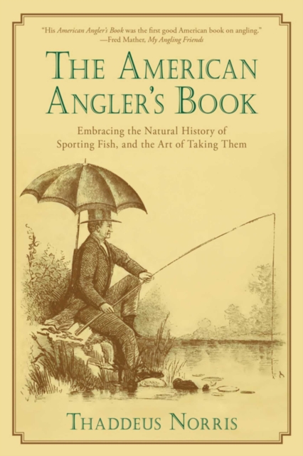
Over one and a half centuries after its original publication, Thaddeus Norriss The American Anglers Book remains a classic heavily sought after by fishing enthusiasts and collectors.
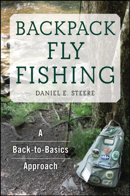
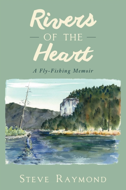
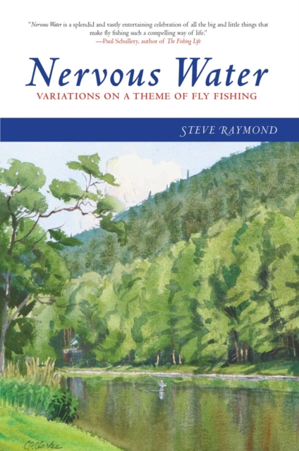
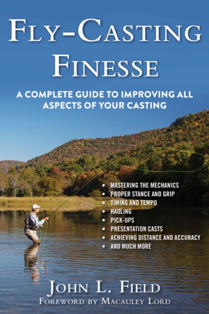
Nervous water has a meaning: while the fleeting crease or subtle wrinkle on the surface of a lake or stream could be nothing, wise anglers known that these small surface movements are nearly always signs of fish stirring belowas it is with the sport of fly fishing.
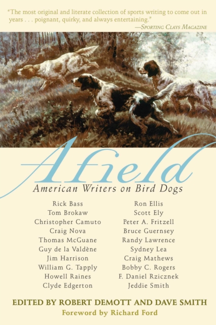
This marvelous collection features stories from some of Americas finest and most respected writers about every outdoorsmans favorite and most loyal hunting partner: his dog.
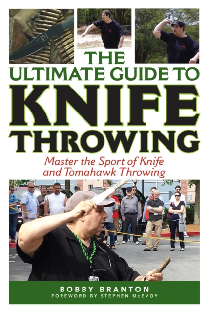
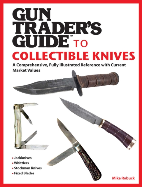
The Gun Traders Guide is the standard reference for collectors, curators, dealers, shooters, and gun enthusiasts, and now is extending their influence to collectible knives.
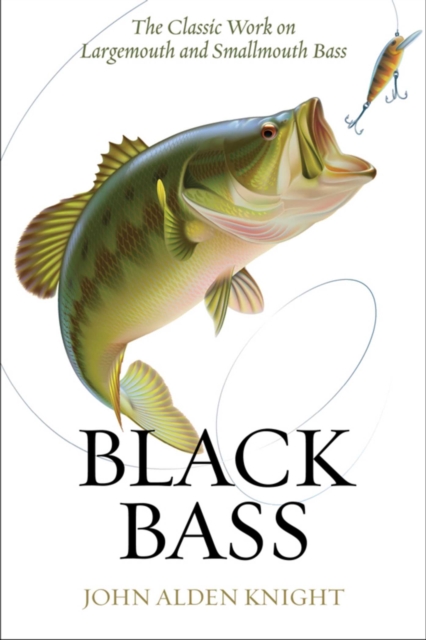
Originally published in 1949, John Alden Knights Black Bass enforces the idea that enjoying the sport of bass fishing to its fullest is only possible when one understands every aspect of it, including fish behavior, bass habitat, changing seasons, gear, and different fishing tactics.