Field tested by one of the most respected outdoor programmes in the world, 'Collins Complete Hiking and Camping Manual' is the most comprehensive guides available.
With 2014 marking the tercentenary of the Longitude Act, this eloquent celebration of the sextant tells the story of this elegant instrument and explores its vital role in man's attempts to map the world.
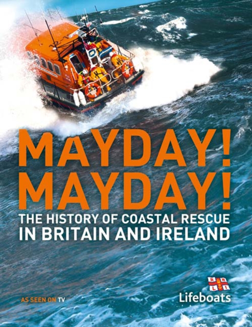
Lifeboats occupy a particular place in people's hearts as unpaid volunteers regularly take to their boats often in extremely adverse conditions to rescue others from the sea.
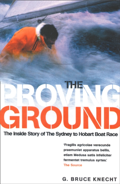
The story of the 1998 Sydney to Hobart boat race - the most dramatic in yacht racing historyThe waters between Sydney and Hobart are famously treacherous.
The epic true-life story of one of the most notorious maritime disasters of the nineteenth century - and inspiration for 'Moby-Dick' - reissued to accompany a major motion picture due for release in December 2015, directed by Ron Howard and starring Chris Hemsworth, Benjamin Walker and Cillian Murphy.
*** BARACK OBAMA'S SUMMER READING LIST 2024 ****** One of the New York Times Top Ten Books of 2024 ****** NEW YORK TIMES BESTSELLER ***'The story of Captain Cook s third voyage.
This second edition deals comprehensively with all aspects of a ship's machinery from propulsion and steering to deck machinery and electrical equipment with a strong emphasis upon correct and safe procedures.