Responding to Titanic's distress calls in the early hours of 15 April 1912, Captain Arthur Rostron raced the Cunard liner Carpathia to the scene of the sinking, rescued the seven hundred survivors of the world's most famous shipwreck and then carried them to safety at New York.
Responding to Titanic's distress calls in the early hours of 15 April 1912, Captain Arthur Rostron raced the Cunard liner Carpathia to the scene of the sinking, rescued the seven hundred survivors of the world's most famous shipwreck and then carried them to safety at New York.
With over two-thirds of the globe covered by water, the ability to navigate safely and quickly across the oceans has been crucial throughout human history.
With over two-thirds of the globe covered by water, the ability to navigate safely and quickly across the oceans has been crucial throughout human history.
Traveling across the great northern expanses from Dawson Creek, British Columbia, to Delta Junction, Alaska, the 1,500-mile Alaska Highway remains one of the greatest driving adventures of all time.
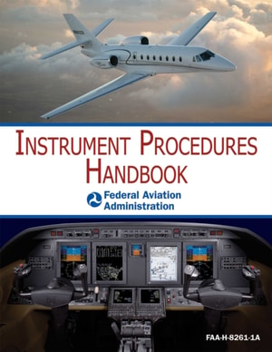
Designed as a technical reference for instrument-rated pilots who want to maximize their skills in an "e;Instrument Flight Rules"e; environment, the Federal Aviation Administration's Instrument Procedures Handbook contains the most current information on FAA regulations, the latest changes to procedures, and guidance on how to operate safely within the National Airspace System in all conditions.
Now in its sixth edition, Yachtmaster for Sail and Power is an essential companion for anyone enrolling on the RYA Coastal Skipper/Yachtmaster Offshore course.
This volume contains a curated collection of classic articles on sailing yachts, with information on subjects including flags, nautical etiquette, maintaining yachts, equipment, and many other related aspects.
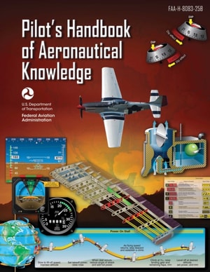
The Pilots Handbook of Aeronautical Knowledge is an official Federal Aviation Administration (FAA) Handbook that provides basic knowledge that is essential for pilots.
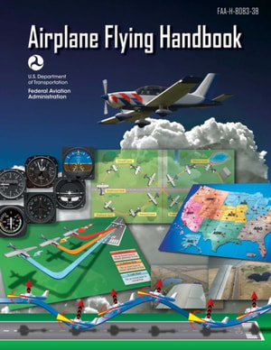
The Federal Aviation Administrations Airplane Flying Handbook provides pilots, student pilots, aviation instructors, and aviation specialists with information on every topic needed to qualify for and excel in the field of aviation.
Long established as the bible for long-distance cruisers and a bestseller for more than 25 years, World Cruising Routes is the indispensable planning guide to nearly 1,000 sailing routes covering all the oceans of the world from the tropical South Seas to the high latitudes of the Arctic and Antarctic, geared specifically to the needs of cruising sailors.
'What Jimmy Cornell doesn't know about cruising isn't worth knowing' - Yachting World
One of the most influential cruising yachtsmen writing today, Jimmy Cornell has sailed over 200,000 miles on all the oceans of the world, including three circumnavigations and voyages to the Arctic and Antarctic.
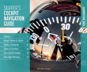
Whether planning a day sail or a longer passage, at home, at the wheel or at the chart table, the Skipper's Cockpit Navigation Guide is the perfect at-a-glance handbook for all skippers and crew.
Whether planning a day sail or a longer passage, at home, at the wheel or at the chart table, the Skipper's Cockpit Navigation Guide is the perfect at-a-glance handbook for all skippers and crew.
The Reeds Western Almanac covers the coastline from Cape Wrath to Padstow as well as the whole of Ireland, and is ideal for any boater lucky enough to cruise and race in the superb waters off the coast of Western Scotland, Ireland or Western England.
The Reeds Eastern Almanac covers the UK east coast from Ramsgate to Cape Wrath including the Shetland and Orkney Islands, and from Niewport to Delfzjil and Helgoland.
The Reeds Channel Almanac covers the south coast of England from the Scilly Isles to Dover, the Channel Islands and northern France from Calais to L'Aberildut, offering cruising and racing yachtsmen ready access to essential navigation information by virtue of its clear layout and user friendly format.
Reeds Nautical Almanac is the indispensable trusted annual compendium of navigational data for yachtsmen and motorboaters, and provides all the information required to navigate Atlantic coastal waters around the whole of the UK, Ireland, Channel Islands and the entire European coastline from the tip of Denmark right down to Gibraltar, Northern Morocco, the Azores and Madeira.
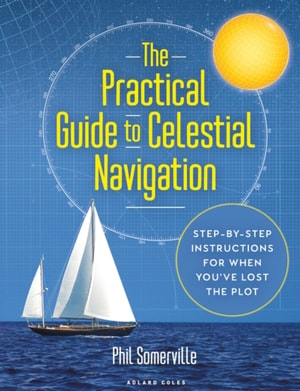
THIS EBOOK EDITION IS DESIGNED TO BE EXPERIENCED ON COLOUR DEVICES The practical guide to celestial navigation - know what to do step by step, understand why you're doing it, and be confident that you can put it into practice when on board.
THIS EBOOK EDITION IS DESIGNED TO BE EXPERIENCED ON COLOUR DEVICES The practical guide to celestial navigation - know what to do step by step, understand why you're doing it, and be confident that you can put it into practice when on board.
For over 50 years Heavy Weather Sailing has been regarded as the ultimate international authority on surviving storms at sea aboard sailing and motor vessels.
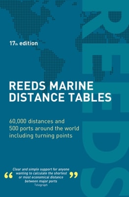
Reeds Marine Distance Tables are the perfect ready-reckoner for captains, navigators and owners of merchant and cruise ships large and small wanting a quick and accurate distance reference between all the regularly used commercial ports around the world.
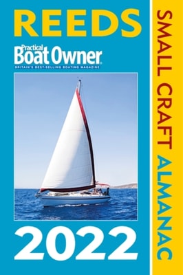
The Reeds PBO Small Craft Almanac may be more compact and concise than the Reeds Nautical Almanac but it contains a wealth of indispensable navigational data specially tailored for small craft sailors, presented in an easy to find, quick reference manner for on-board use.
The Complete Yachtmaster has been a bestseller since first publication and has established itself as the standard reference for Yachtmaster students as well as skippers of all levels of experience.
The Complete Yachtmaster has been a bestseller since first publication and has established itself as the standard reference for Yachtmaster students as well as skippers of all levels of experience.
Now in its sixth edition, this must-have guide for aspiring Yachtmasters covers the essentials of the RYA syllabus and provides new tips on exam tactics.
Now in its sixth edition, this must-have guide for aspiring Yachtmasters covers the essentials of the RYA syllabus and provides new tips on exam tactics.
'This book is a must-have for any serious racing sailor' Sir Ben Ainslie, four-time Olympic gold winning sailorPaul Elvstrom is arguably the greatest Olympic sailor of all time.
'This book is a must-have for any serious racing sailor' Sir Ben Ainslie, four-time Olympic gold winning sailorPaul Elvstrom is arguably the greatest Olympic sailor of all time.
The Reeds PBO Small Craft Almanac may be more compact and concise than the Reeds Nautical Almanac but it contains a wealth of indispensable navigational data specially tailored for small craft sailors, presented in an easy to find, quick reference manner for on-board use.
The Reeds Western Almanac covers the coastline from Cape Wrath to Padstow as well as the whole of Ireland, and is ideal for any boater lucky enough to cruise and race in the superb waters off the coast of Western Scotland, Ireland or Western England.