The goal of image synthesis is to create, using the computer, a visual experience that is identical to what a viewer would experience when viewing a real environment.
The major goals of texture research in computer vision are to understand, model, and process texture and, ultimately, to simulate the human visual learning process using computer technologies.
Although it's true that image compression research is a mature field, continued improvements in computing power and image representation tools keep the field spry.
An easy-to-understand synopsis of identification systems, presenting in simple language the process of fingerprint identification, from the initial capture of a set of finger images, to the production of a Rapsheet.
In the last 40 years, machine vision has evolved into a mature field embracing a wide range of applications including surveillance, automated inspection, robot assembly, vehicle guidance, traffic monitoring and control, signature verification, biometric measurement, and analysis of remotely sensed images.
This book focuses on the intelligent perception and interaction module in intelligent robotic systems, establishes a multidisciplinary cross-fertilization knowledge system, explores the related technology frontiers and research frontiers as comprehensively as possible from the perspective of scene modeling and understanding, and develops a practical exposition of practical application tasks such as robotic navigation, obstacle avoidance, and grasping.
Teach yourself programming starting with the basics and progressing to a series of exciting projects using Kotlin, one of today's hottest programming languages.
The two-volume set LNCS 13373 and 13374 constitutes the papers of several workshops which were held in conjunction with the 21st International Conference on Image Analysis and Processing, ICIAP 2022, held in Lecce, Italy, in May 2022.
Exclusively from McGraw-Hill Professional and InfoComm International, this exam guide covers the latest Certified Technology Specialist Design exam for AV professionals.
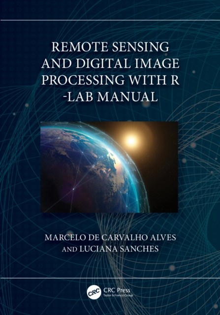
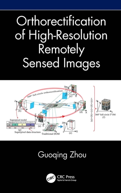
Orthorectification in remote sensing is used to geometrically correct satellite or aerial image distortions caused by terrain elevation and sensor lense etc.
Orthorectification in remote sensing is used to geometrically correct satellite or aerial image distortions caused by terrain elevation and sensor lense etc.