A comprehensive picture of the architecture of crustal magmatic systems The composition of igneous rocks their minerals, melts, and fluids reveals the physical and chemical conditions under which magmas form, evolve, interact, and move from the Earth s mantle through the crust.
A comprehensive picture of the architecture of crustal magmatic systems The composition of igneous rocks their minerals, melts, and fluids reveals the physical and chemical conditions under which magmas form, evolve, interact, and move from the Earth s mantle through the crust.
This introductory book to the six volume series includes an introduction defining the critical zone for mankind that extends from tree canopy and the lower atmosphere to water table and unweathered rock.
This introductory book to the six volume series includes an introduction defining the critical zone for mankind that extends from tree canopy and the lower atmosphere to water table and unweathered rock.
A multidisciplinary perspective on the dynamic processes occurring in Earth's mantle The convective motion of material in Earth's mantle, powered by heat from the deep interior of our planet, drives plate tectonics at the surface, generating earthquakes and volcanic activity.
A multidisciplinary perspective on the dynamic processes occurring in Earth's mantle The convective motion of material in Earth's mantle, powered by heat from the deep interior of our planet, drives plate tectonics at the surface, generating earthquakes and volcanic activity.
Fossils and Strata is an international series of monographs and memoirs in palaeontology and biostratigraphy, owned by, and published on behalf of, The Lethaia Foundation in cooperation between the Scandinavian countries.
Fossils and Strata is an international series of monographs and memoirs in palaeontology and biostratigraphy, owned by, and published on behalf of, The Lethaia Foundation in cooperation between the Scandinavian countries.
Computer Processing of Remotely-Sensed Images A thorough introduction to computer processing of remotely-sensed images, processing methods, and applications Remote sensing is a crucial form of measurement that allows for the gauging of an object or space without direct physical contact, allowing for the assessment and recording of a target under conditions which would normally render access difficult or impossible.
Computer Processing of Remotely-Sensed Images A thorough introduction to computer processing of remotely-sensed images, processing methods, and applications Remote sensing is a crucial form of measurement that allows for the gauging of an object or space without direct physical contact, allowing for the assessment and recording of a target under conditions which would normally render access difficult or impossible.
An examination of ancient and contemporary submarine landslides and their impact Landslides are common in every subaqueous geodynamic context, from passive and active continental margins to oceanic and continental intraplate settings.
An examination of ancient and contemporary submarine landslides and their impact Landslides are common in every subaqueous geodynamic context, from passive and active continental margins to oceanic and continental intraplate settings.
MULTI-SCALE BIOGEOCHEMICAL PROCESSES IN SOIL ECOSYSTEMS Provides a state-of-the-art overview of research in soil biogeochemical processes and strategies for greenhouse gas mitigation under climate change Food security and soil health for the rapidly growing human population are threatened by increased temperature and drought, soil erosion and soil quality degradation, and other problems caused by human activities and a changing climate.
MULTI-SCALE BIOGEOCHEMICAL PROCESSES IN SOIL ECOSYSTEMS Provides a state-of-the-art overview of research in soil biogeochemical processes and strategies for greenhouse gas mitigation under climate change Food security and soil health for the rapidly growing human population are threatened by increased temperature and drought, soil erosion and soil quality degradation, and other problems caused by human activities and a changing climate.
The most comprehensive and in-depth study of the formation, practical applications, history, and natural recycling of salt, including the global and geological implications of its formative process, natural movement, and development in the Earth's subsurface.
The most comprehensive and in-depth study of the formation, practical applications, history, and natural recycling of salt, including the global and geological implications of its formative process, natural movement, and development in the Earth's subsurface.
A FASCINATING AND INFORMATIVE EXPLORATION OF PERIGLACIAL PROCESSES, PAST AND PRESENT, AND THEIR ROLE IN LANDSCAPE EVOLUTION Periglacial Geomorphology presents a comprehensive introduction to the processes that operate in present periglacial environments and discusses the inferences that can be drawn about former periglacial environments from those processes.
A FASCINATING AND INFORMATIVE EXPLORATION OF PERIGLACIAL PROCESSES, PAST AND PRESENT, AND THEIR ROLE IN LANDSCAPE EVOLUTION Periglacial Geomorphology presents a comprehensive introduction to the processes that operate in present periglacial environments and discusses the inferences that can be drawn about former periglacial environments from those processes.
An interdisciplinary study of the Kuroshio nutrient stream The surface water of the Kuroshio, a western boundary current in the North Pacific Ocean, is nutrient-depleted and has relatively low primary productivity, yet abundant fish populations are supported in the region.
An interdisciplinary study of the Kuroshio nutrient stream The surface water of the Kuroshio, a western boundary current in the North Pacific Ocean, is nutrient-depleted and has relatively low primary productivity, yet abundant fish populations are supported in the region.
Recent advances in the modeling and remote sensing of droughts and floods Droughts and floods are causing increasing damage worldwide, often with devastating short- and long-term impacts on human society.
Recent advances in the modeling and remote sensing of droughts and floods Droughts and floods are causing increasing damage worldwide, often with devastating short- and long-term impacts on human society.
Explore the dramatic forces that have shaped the Icelandic landscape over 30 million years Iceland's formation and ongoing evolution offers a masterclass in geophysical processes.
Explore the dramatic forces that have shaped the Icelandic landscape over 30 million years Iceland's formation and ongoing evolution offers a masterclass in geophysical processes.
Provides key updates to a must-have text on hydraulic control systems This fully updated, second edition offers students and professionals a reliable and comprehensive guide to the hows and whys of today's hydraulic control system fundamentals.
Provides key updates to a must-have text on hydraulic control systems This fully updated, second edition offers students and professionals a reliable and comprehensive guide to the hows and whys of today's hydraulic control system fundamentals.
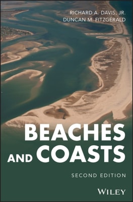
A new edition of a unique textbook that provides an exhaustive treatment of the world's different coasts with focus on climate change sea-level rise Coastlines of the world are as diverse and complex as any geological setting on Earth, and understanding them is extremely important.
A new edition of a unique textbook that provides an exhaustive treatment of the world's different coasts with focus on climate change sea-level rise Coastlines of the world are as diverse and complex as any geological setting on Earth, and understanding them is extremely important.
New exploration tools and techniques for a breakthrough paradigm of regional groundwater occurrence Fresh water is undoubtedly our most precious resource aside from the air we breathe, and the only commodity whose cost has steadily risen over time.
Leverage Big Data analytics methodologies to add value to geophysical and petrophysical exploration data Enhance Oil & Gas Exploration with Data-Driven Geophysical and Petrophysical Models demonstrates a new approach to geophysics and petrophysics data analysis using the latest methods drawn from Big Data.
Leverage Big Data analytics methodologies to add value to geophysical and petrophysical exploration data Enhance Oil & Gas Exploration with Data-Driven Geophysical and Petrophysical Models demonstrates a new approach to geophysics and petrophysics data analysis using the latest methods drawn from Big Data.
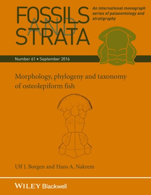
A discussion and description of prehistoric fish within an international series Material of six osteolepiform genera is described in Morphology, Phylogeny and Taxonomy of Osteolepiform Fish.
A discussion and description of prehistoric fish within an international series Material of six osteolepiform genera is described in Morphology, Phylogeny and Taxonomy of Osteolepiform Fish.