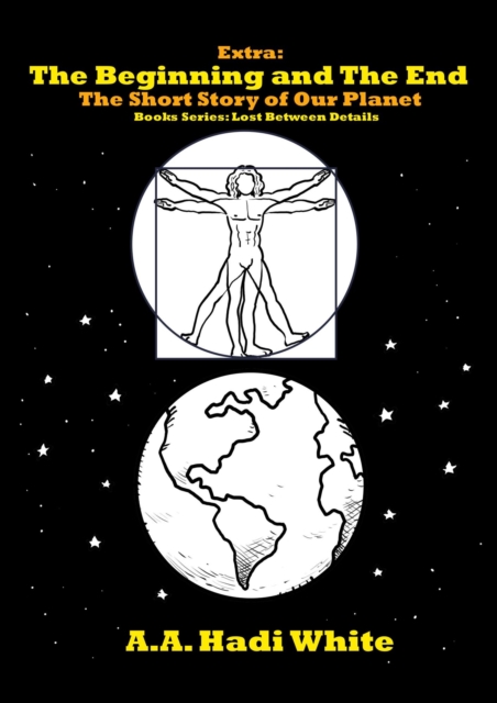
Este libro tiene por objetivo mostrarle al lector aspectos basicos sobre los fragmentos de roca en el suelo y denotar como estos afectan la infiltracion y las propiedades hidraulicas de los suelos.
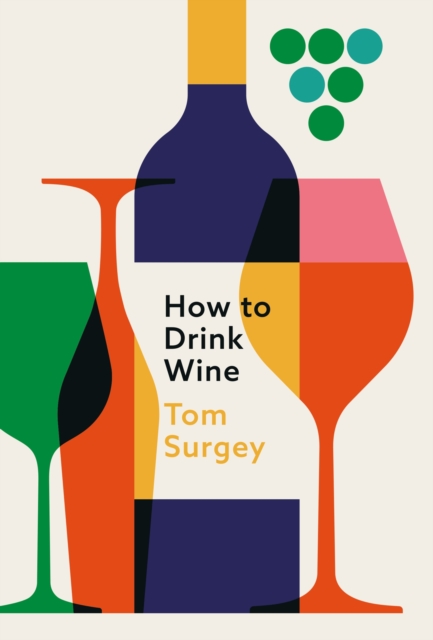
'Tom is one of my favourite people to taste wine with' - Oz Clarke'Tom's love of wine is matched by his dedication to sharing down-to-earth insights with accessibility and fun' - Olly SmithFrom grape to glass, this highly readable and charismatic guide will teach you everything you need to know to enjoy wine.
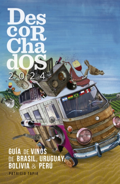
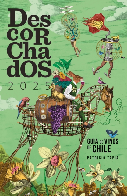
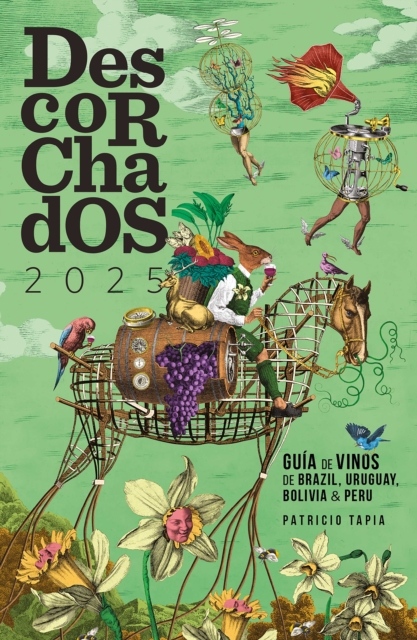
Con las incorporaciones de Bolivia y Perú, una novedad este año, Descorchados ya cubre a todos los países productores de vinos más relevantes de la escena sudamericana.
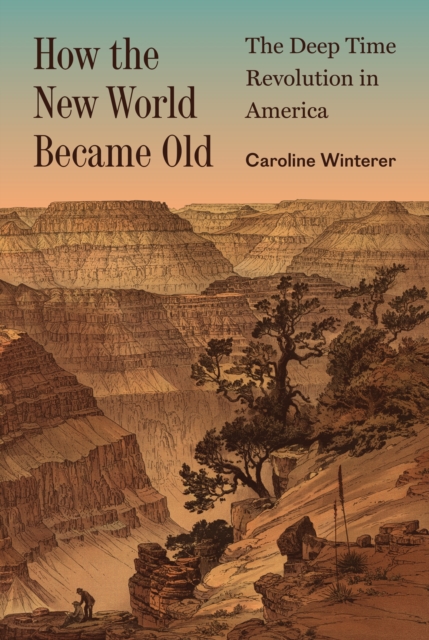
How the idea of deep time transformed how Americans see their country and themselvesDuring the nineteenth century, Americans were shocked to learn that the land beneath their feet had once been stalked by terrifying beasts.
El suelo colombiano es donde se afirman las raíces de nuestra nacionalidad y de nuestra soberanía, es la base de nuestro territorio y es, además, el sustento de nuestra fértil y exuberante biodiversidad.
En "A Degustar Vino" el lector va a encontrar todas las consultas más comunes sobre elaboración, categorías, combinaciones adecuadas entre comida y vino, temperaturas de servicio y saber por qué una etiqueta es mucho más costosa que otra.
How fossilized reefs hold clues to the survival of corals in the AnthropoceneWith rising global temperatures, pollution, overfishing, ocean acidification, and other problems caused by humans, there's no question that today's coral reefs are in trouble.
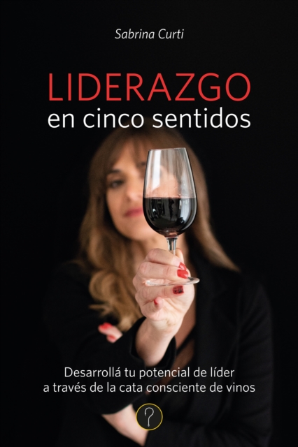
Amalgama entre las letras y los sentidos, entre poemas y sabores, Liderazgo en cinco sentidos conjuga lo mejor de cada cepa para crear un blend en el que Sabrina Curti pone en valor las percepciones, tanto para transmitirnos su experiencia escrita como para erigirlas en ejes simultáneos de su forma de vida y de su ser enóloga, sommelier y alquimista.
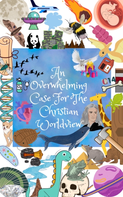
Un fascinante viaje al pasado remoto de la Tierra para conocer las condiciones que hicieron posible su existencia y los dramáticos cambios que dieron como resultado el planeta que conocemos.
"El buen beber" es una obra que guía al lector a través del fascinante mundo del vino, desde su origen y fabricación hasta las técnicas de degustación y conservación.
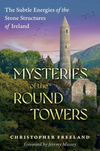
*; Reveals how the round towers were built over the crossing of underground waterways and with every stone in magnetic polarity alignment*; Explains how the siting and magnetic properties of the towers energetically enhances the surrounding environment, akin to feng shui and vastu*; Presents a guide to the energetic principles behind the creation and purpose of the round towersIn Ireland, and to a lesser extent Scotland, in seemingly unconnected locations, there are more than 60 enigmatic round towers, often 90 feet tall or higher and nearly uniform in their construction.
The Voyage of the Beagle is the title most commonly given to reissues of the book written by Charles Darwin and published in 1839 as his Journal and Remarks, bringing him considerable fame and respect.
Handfestes Weinwissen, unterhaltsam präsentiertCarsten Henn ist weitgereist in der Welt des Weins, in seinem Keller stapeln sich die Flaschen, und er gilt als eine der besten Weinnasen Deutschlands.
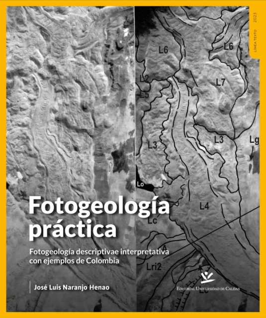
Esta es una de las pocas obras que aborda el análisis y la interpretación tridimensional de los modelos geológicos con los que se deben enfrentar diariamente los profesionales de las ciencias de la tierra.
En estas páginas, un gran experto en vinos explica cómo escoger el «vino preciso», aquel que, en función de sus características y del plato que vayáis a degustar, os provoque más buenas vibraciones, y que esté más en consonancia con vuestra alma; casi como si se tratara de un traje a medida.
En estas páginas, un gran experto en vinos explica cómo escoger el «vino preciso», aquel que, en función de sus características y del plato que vayáis a degustar, os provoque más buenas vibraciones, y que esté más en consonancia con vuestra alma; casi como si se tratara de un traje a medida.