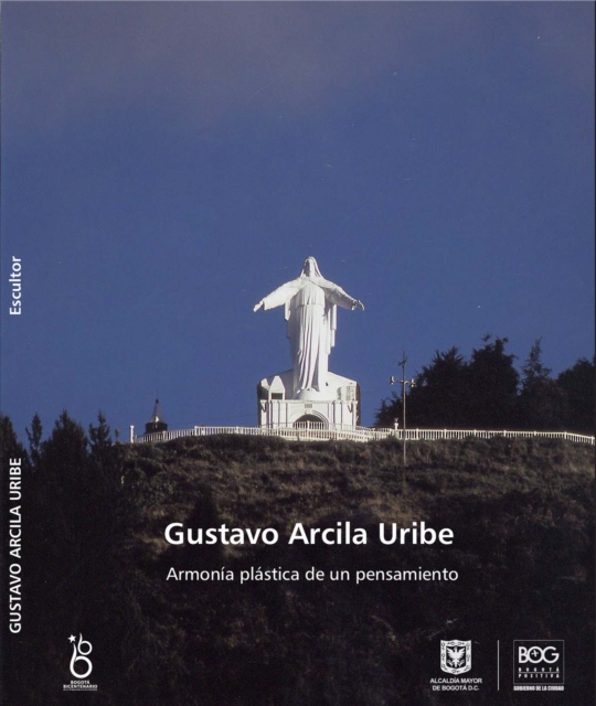
La publicación comprende un reconocimiento al trabajo desarrollado por el artista Gustavo Arcila Uribe a lo largo de las primeras cinco décadas del siglo XX labor que ha enriquecido el conjunto del patrimonio mueble de Bogotá.
When most people think geologist in a natural tourist destination is only able to tell you the rock's history (geotourism or geological tourism), the author argue: geologist able to do more than just explaining the rocks!
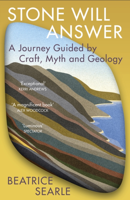
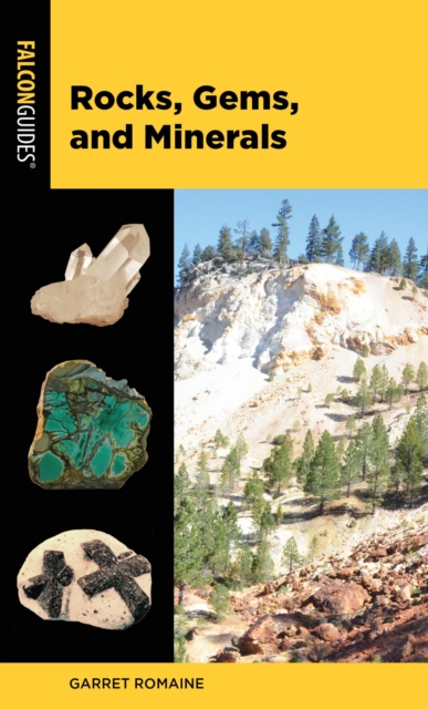
Discover the history of precious, semi-precious, and organic gemstones, their scientific properties, their mythical powers, and their traditional uses.
Somerville s infectious enthusiasm and wry humour infuse his journey from the Isle of Lewis to southern England, revealing our rich geological history with vibrant local and natural history Observer A meticulous exploration of the ground beneath our feet.
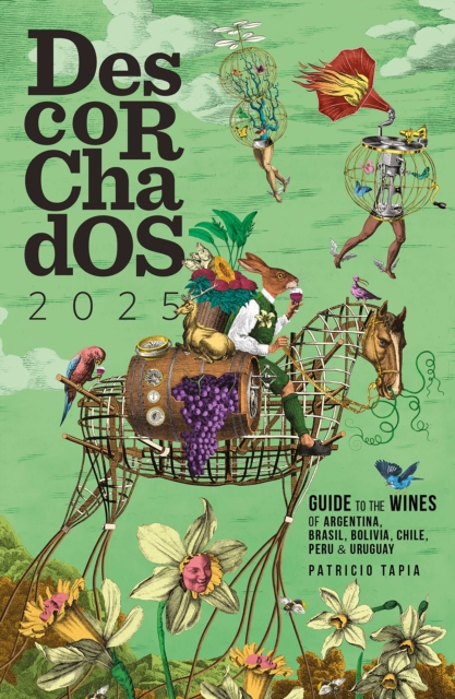
Con las incorporaciones de Bolivia y Perú, una novedad este año, Descorchados ya cubre a todos los países productores de vinos más relevantes de la escena sudamericana.
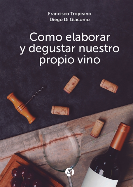
Supervinos 2022 llega en un momento en el que, a fuerza de las circunstancias, hemos aprendido la importancia de elegir nuestros vinos para beberlos en casa.
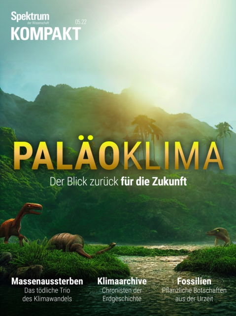
Reise zum Mittelpunkt der Erde ist einer der wenigen Romane von Jules Verne, deren Vision wohl niemals Wirklichkeit wird: Dafür ist es im Erdinnern einfach zu heiß.
La construcción de la DO Rioja como modelo vitivinícola en España sintetiza las investigaciones del autor sobre la historia del famoso vino de Rioja, en España.
Decadas acumuladas de iniciativas gubernamentales y civiles, funcionales o transgresoras al modelo urbano agroindustrial, le han ido agregando piel y espiritu al campo de la educacion ambiental (EA) en Mexico.
How the concept of ';deep time' began as a metaphor used by philosophers, poets, and naturalists in the eighteenth and nineteenth centuriesIn this interdisciplinary book, Noah Heringman argues that the concept of ';deep time'most often associated with geological epochsbegan as a metaphorical language used by philosophers, poets, and naturalists of the eighteenth and nineteenth centuries to explore the origins of life beyond the written record.
As debates about the effects of fossil fuels on our climate and foreign policy intensify, the question of just how much longer we can depend on this finite source of energy becomes more and more pressing.
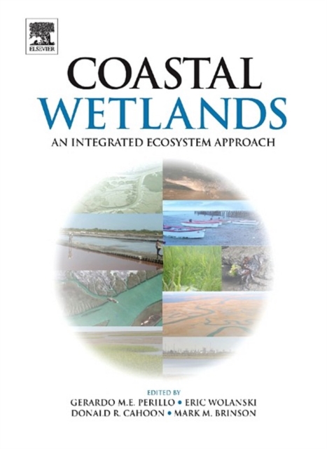
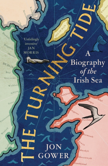
Coastal wetlands are under a great deal of pressure from the dual forces of rising sea level and the intervention of human populations both along the estuary and in the river catchment.
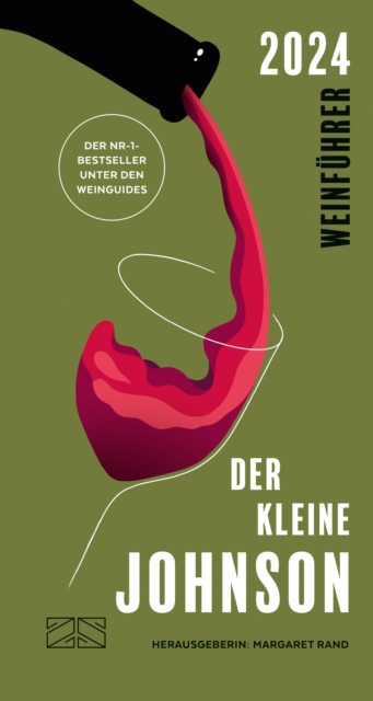
Der Wein-Informant für unterwegs bietet nach einer kurzen Kulturgeschichte des Weins, Wissenswertes zum Weinanbau und den wichtigsten Rebsorten weltweit.
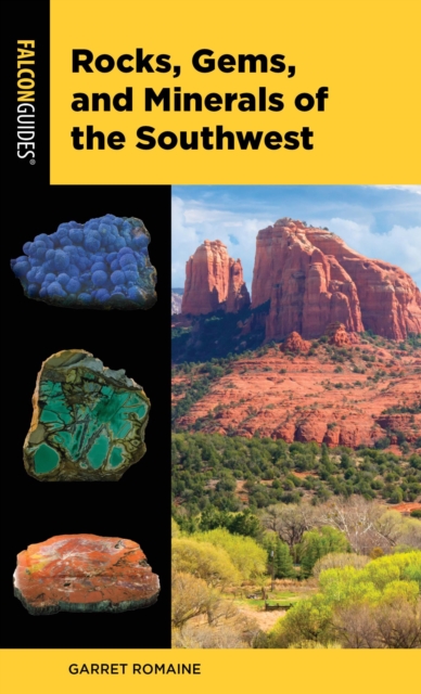
Rocks, Gems, and Minerals of the Southwest is a field guide to more than 100 of the most common and sought-after rocks, gems, and minerals hidden throughout the Southwest.
Este libro es producto de una investigacion doctoral que se pregunta cuales son las concepciones de territorio de los profesores ingenieros profesionales de las ciencias de la Tierra (IPTC) que actuan como profesores formadores de profesionales de las ciencias de la Tierra (PCT) en universidades ubicadas en dos contextos culturalmente diferenciados.
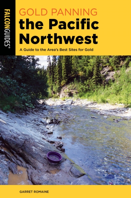
Gold Panning the Pacific Northwest is the premiere reference source for anyone who is interested in getting started or continuing their gold prospecting in the pacific northwest region.
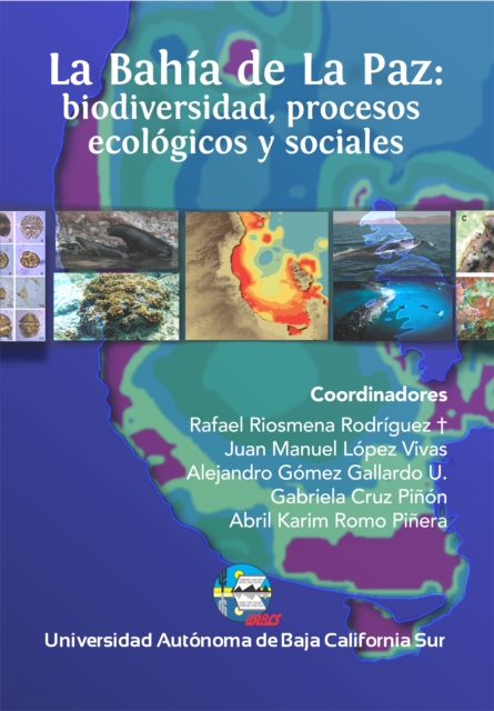
El uso actual y futuro de la Bahía de La Paz ha sido el motivo de varios foros de análisis, tanto a niveles de gobierno, como empresariales, de la sociedad civil y académicos.
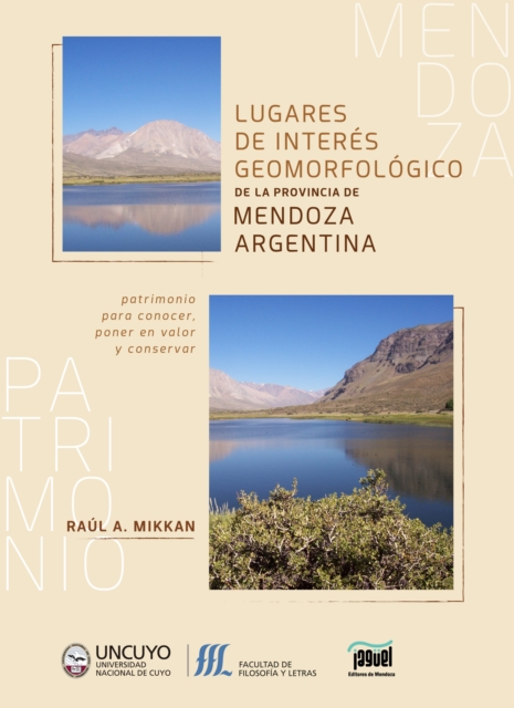
No es muy frecuente encontrar en el ámbito de la Geomorfología y sus prácticas un libro que integre el rigor científico, la minuciosidad descriptiva y el ritmo de una narración; tanto, que pueda ser documento referente para el estudioso del tema y también significativa fuente de información y placer de lectura para quien solo desee conocer el patrimonio natural de Mendoza en Argentina.
Ostracod crustaceans, common microfossils in marine and freshwater sedimentary records, supply evidence of past climatic conditions via indicator species, transfer function and mutual climatic range approaches as well as the trace element and stable isotope geochemistry of their shells.
Integration of ichnological information into sedimentological models, and vice versa, is one of the main means by which we can improve our understanding of ancient depositional environments.
Geomorphological Mapping: a professional handbook of techniques and applications is a new book targeted at academics and practitioners who use, or wish to utilise, geomorphological mapping within their work.
As with his 1994 book, Advanced Blowout and Well Control, Grace offers a book that presents tested practices and procedures for well control, all based on solid engineering principles and his own more than 25 years of hands-on field experience.
This volume contains chapters spanning from the role of geochemistry in the environment in general to specific investigations on site characterization (sampling strategy, analytical procedures and problems).
Due to political pressures, prior to the 1990s little was known about the nature of human foraging adaptations in the deserts, grasslands, and mountains of north western China during the last glacial period.
The little-known history of how the Sahara was transformed from a green and fertile land into the largest hot desert in the worldThe Sahara is the largest hot desert in the world, equal in size to China or the United States.
A gripping history of the polar continent, from the great discoveries of the nineteenth century to modern scientific breakthroughsAntarctica, the ice kingdom hosting the South Pole, looms large in the human imagination.
A garden of geologic delights for all EarthlingsGeopedia is a trove of geologic wonders and the evocative terms that humans have devised to describe them.
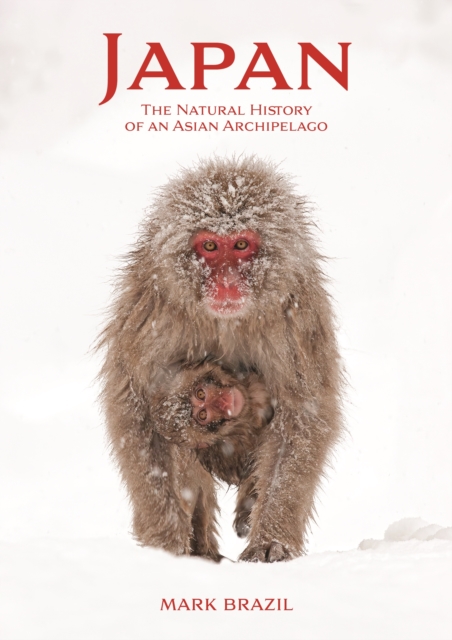
A comprehensive, richly illustrated guide to Japan's astonishing animals and plants-and the natural forces that have shaped themThis richly illustrated guide is the first comprehensive and accessible introduction to the extraordinary natural history of the Japanese archipelago.
Rocks, Gems, and Minerals is a field guide to more than 100 of the most common and sought-after rocks, gems, and minerals hidden throughout North America.
The new revised edition of a classic Earth science textThis newly revised edition of Global Environment discusses the major elements of the geochemical cycles and global fluxes found in the atmosphere, land, lakes, rivers, biota, and oceans, as well as the human effects on these fluxes.
After the discovery that elements were commonly composed of isotopes, there developed a range of studies of the variability of isotopic compositions in Earth materials, which was able to add to our understanding of Earth processes and history.