Modeling Uncertainty in the Earth Sciences highlights the various issues, techniques and practical modeling tools available for modeling the uncertainty of complex Earth systems and the impact that it has on practical situations.
Modeling Uncertainty in the Earth Sciences highlights the various issues, techniques and practical modeling tools available for modeling the uncertainty of complex Earth systems and the impact that it has on practical situations.
How to be a Quantitative Ecologist: The 'A to R' of Green Mathematics and Statistics Ecological research is becoming increasingly quantitative, yet students often opt out of courses in mathematics and statistics, unwittingly limiting their ability to carry out research in the future.
How to be a Quantitative Ecologist: The 'A to R' of Green Mathematics and Statistics Ecological research is becoming increasingly quantitative, yet students often opt out of courses in mathematics and statistics, unwittingly limiting their ability to carry out research in the future.
Wide- scale chemical monitoring programmes are required by international conventions and European Union policies such as the Water Framework Directive (2000/60/EC) and the new EU Marine Strategy Framework Directive (MSFD).
This book describes the mechanisms that allow aquatic photosynthetic organisms to contribute about half of the global primary productivity; in order to mitigate climate change by sequestering carbon dioxide and producing oxygen, they transform the original anoxic atmosphere of the Earth over geological time.
This book describes the mechanisms that allow aquatic photosynthetic organisms to contribute about half of the global primary productivity; in order to mitigate climate change by sequestering carbon dioxide and producing oxygen, they transform the original anoxic atmosphere of the Earth over geological time.
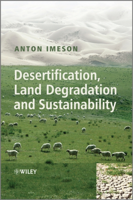
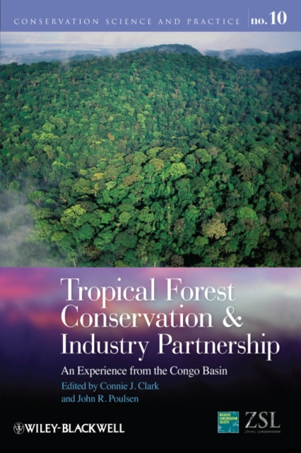
Desertification offers a comprehensive overview of the subject and clearly emphasizes the link between local and global desertification processes and how past and current policy has affected arid environments and their populations.
Desertification offers a comprehensive overview of the subject and clearly emphasizes the link between local and global desertification processes and how past and current policy has affected arid environments and their populations.
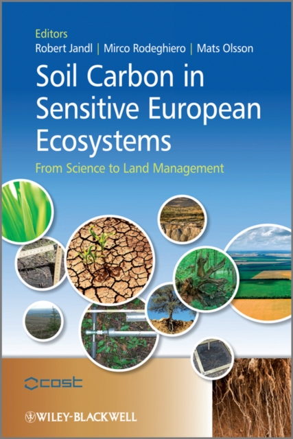
Soil Carbon in Sensitive European Ecosystems - From Science to Land Management is a comprehensive overview of the latest research in this field drawn together by a network of scientists from across Europe.
Wide- scale chemical monitoring programmes are required by international conventions and European Union policies such as the Water Framework Directive (2000/60/EC) and the new EU Marine Strategy Framework Directive (MSFD).
Soil Carbon in Sensitive European Ecosystems - From Science to Land Management is a comprehensive overview of the latest research in this field drawn together by a network of scientists from across Europe.
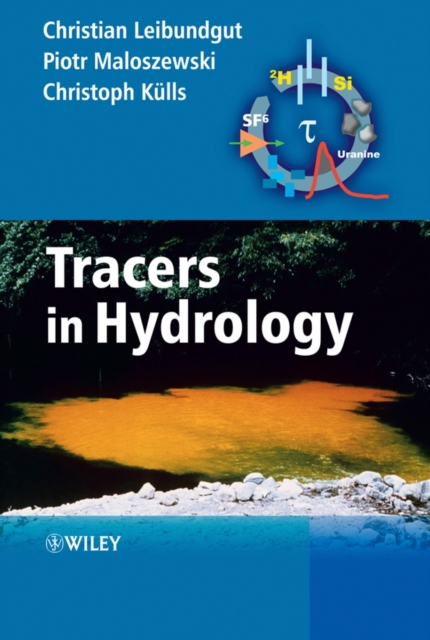
Tracers in Hydrology and Water Research is a comprehensive overview of the application of natural and artificial tracers in hydrology and environmental research.
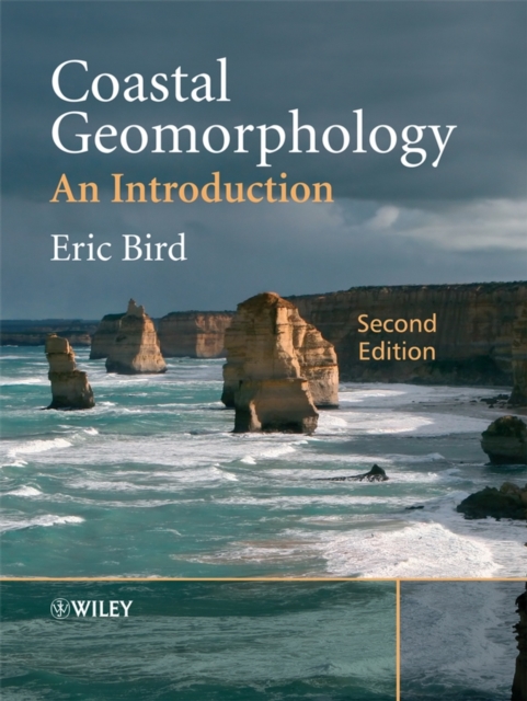
Coastal Geomorphology, Second Edition is a comprehensive and systematic introduction to this subject and demonstrates the dynamic nature of coastal landforms, providing a background for analytical planning and management strategies in coastal areas that are subject to continuing changes.
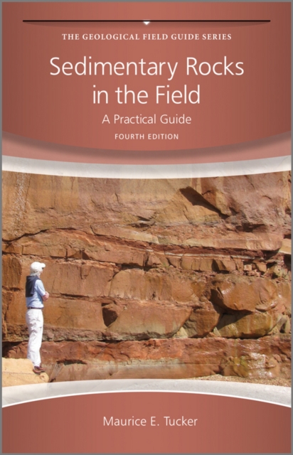
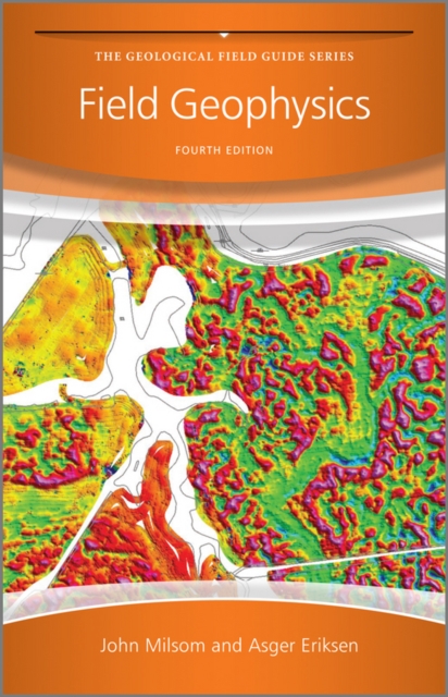
This fourth edition builds on the success of previous editions and for the first time is produced in full colour throughout with improved photos and diagrams.
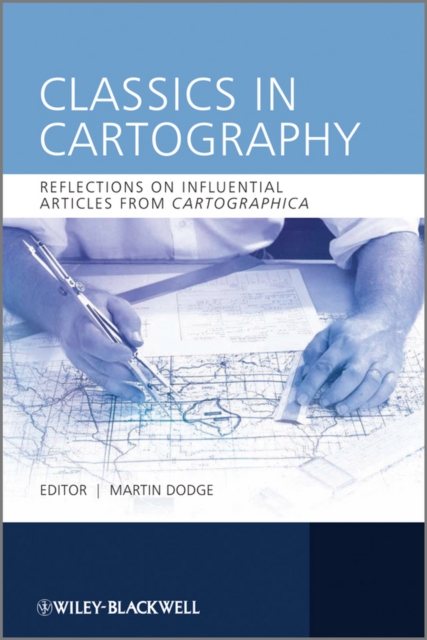
Classics in Cartography provides an intellectually-driven reinterpretation of a selection of ten touchstone articles in the development of mapping scholarship over the last four decades.
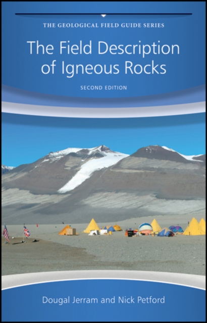
The Second Edition of this unique pocket field guide has been thoroughly revised and updated to include advances in physical volcanology, emplacement of magmas and interpreting structures and textures in igneous rocks.
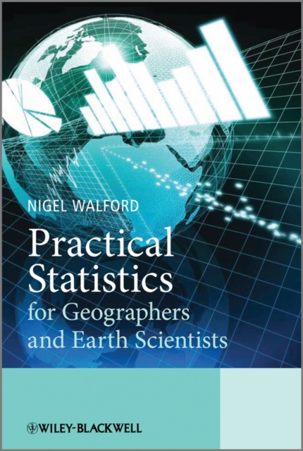
Practical Statistics for Geographers and Earth Scientists provides an introductory guide to the principles and application of statistical analysis in context.
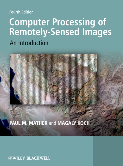
This fourth and full colour edition updates and expands a widely-used textbook aimed at advanced undergraduate and postgraduate students taking courses in remote sensing and GIS in Geography, Geology and Earth/Environmental Science departments.
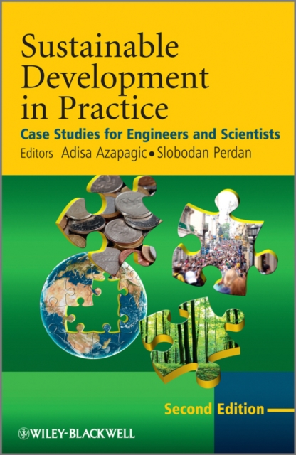
Sustainable Development in Practice: Case Studies for Engineers and Scientists, Second Edition explores the concept of sustainable development and its implications for science and engineering.
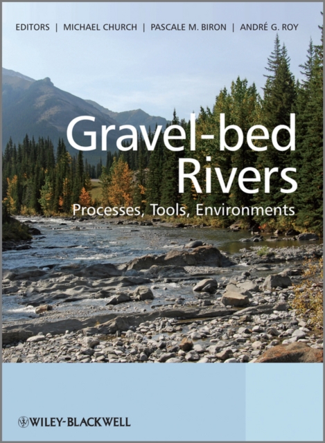
Gravel-bed Rivers: Processes, Tools, Environments presents a definitive review of current knowledge of gravel-bed rivers, derived from the 7th International Gravel-bed Rivers Workshop, the 5-yearly meeting of the world s leading authorities in the field.
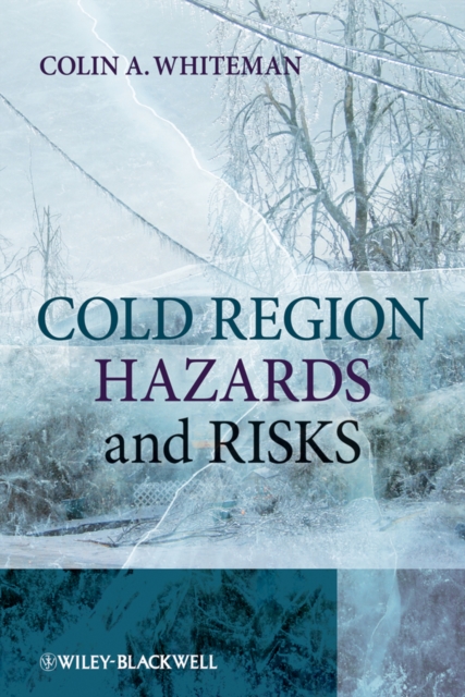
Risk Research: Practices, Politics and Ethics offers a collection of essays, written by a wide variety of international researchers in risk research, about what it means to do risk research, and about how and with what effects risk research is practiced, articulated and exploited.
Geographic Information Science and Technology (GISc&T) has been at the forefront of education innovation in geography and allied sciences for two decades.
Forecast Verification: A Practioner's Guide in Atmospheric Science, 2nd Edition provides an indispensible guide to this area of active research by combining depth of information with a range of topics to appeal both to professional practitioners and researchers and postgraduates.
Forecast Verification: A Practioner's Guide in Atmospheric Science, 2nd Edition provides an indispensible guide to this area of active research by combining depth of information with a range of topics to appeal both to professional practitioners and researchers and postgraduates.